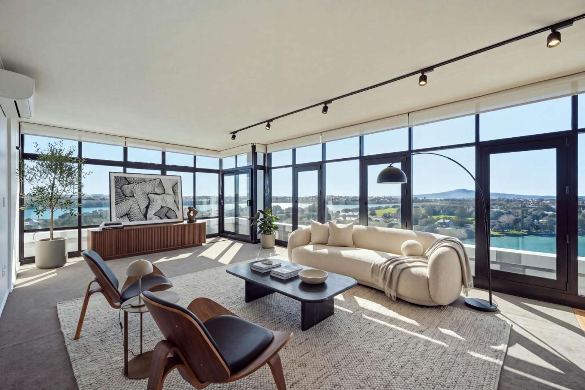
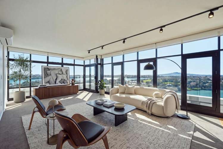
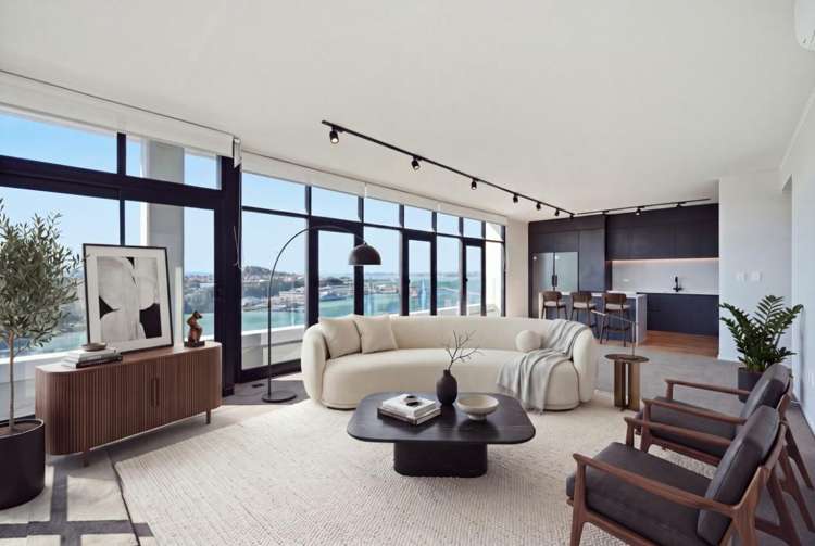
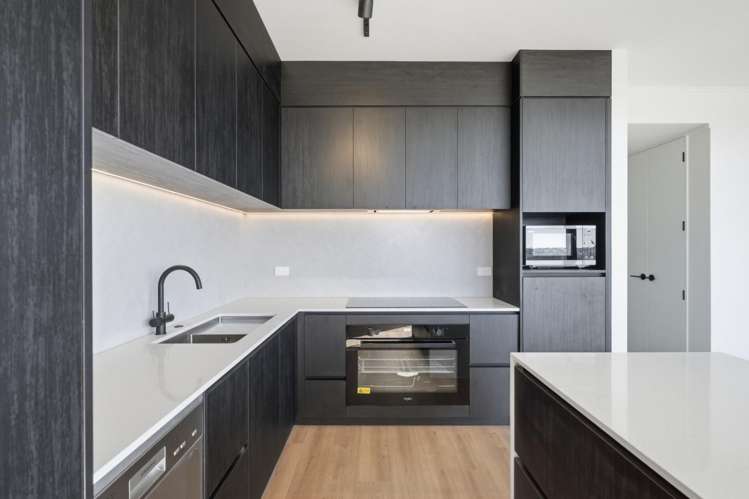
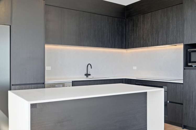
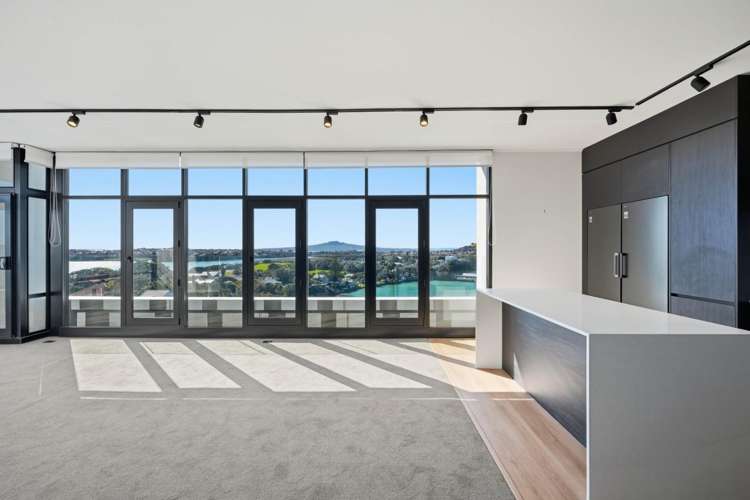
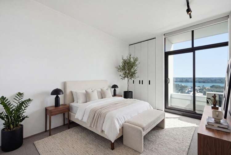
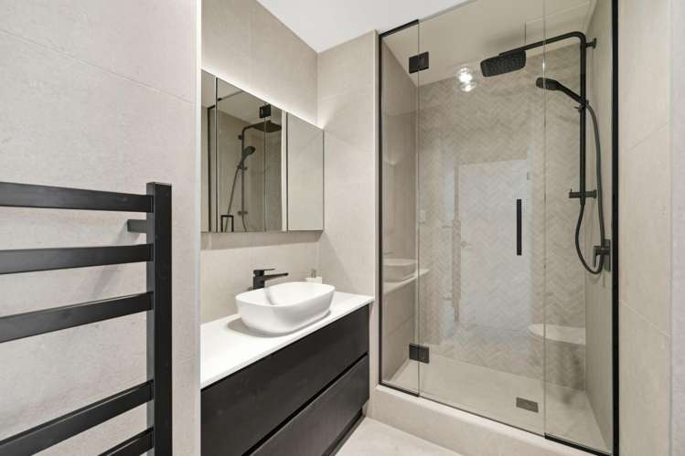
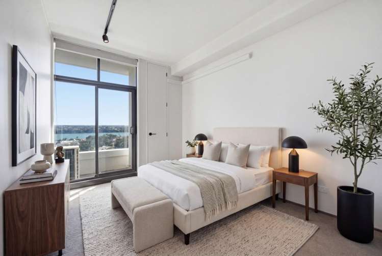
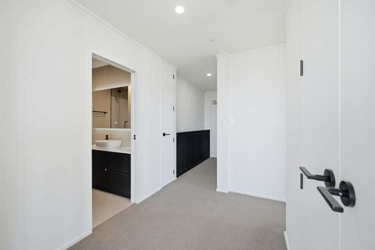
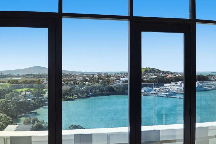
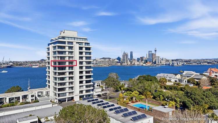
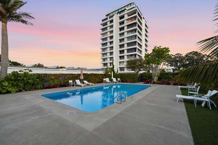
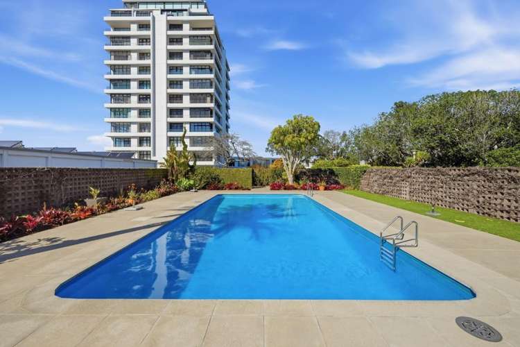
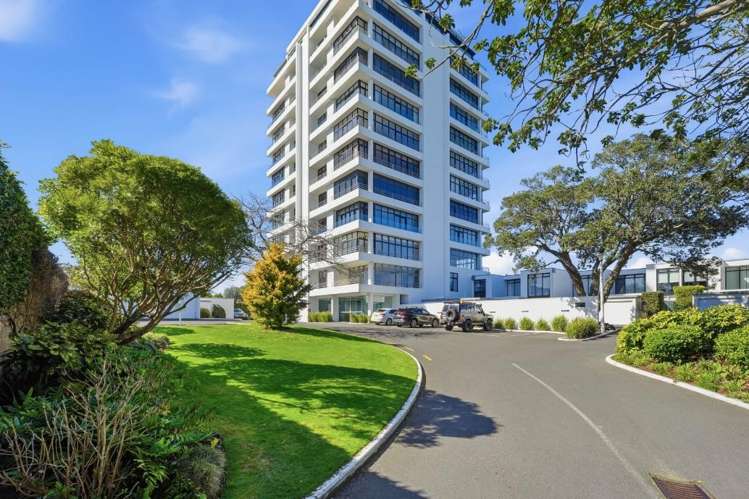
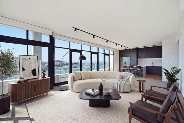
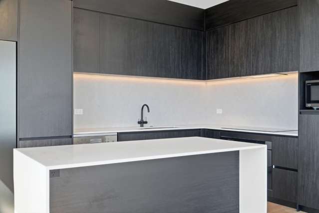
Experience refined coastal living in this newly renovated two-bedroom, two-bathroom apartment at 703/45 Stanley Point Road. Positioned to capture stunning views and natural light, this residence offers a comfortable and functional layout ideal for those seeking a peaceful lifestyle.
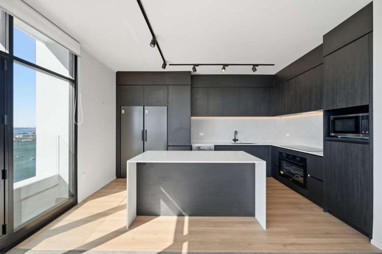
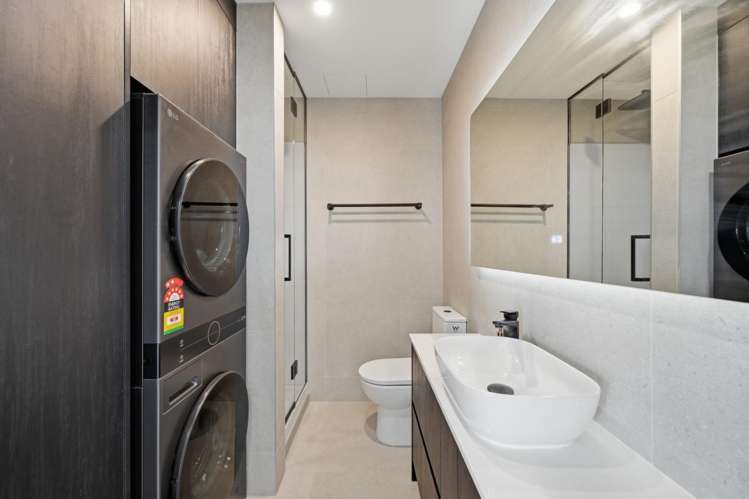
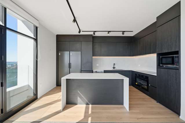
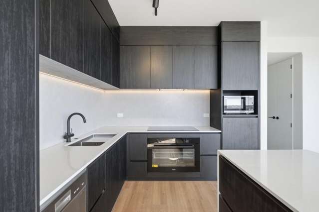
Spacious living area flows to a brand new kitchen with high-quality appliances. The laundry offers a new washer and dryer.
Security and privacy are hallmarks of this well-regarded building. The apartment comes with the benefit of a single garage space, providing secure off-street parking for one small to mid sized car.
Available from 7th September 2026, this property is perfectly suited to a single professional or couple. Please note that pets are not permitted by the Body Corporate at this apartment complex.
Stanley Point is a sought-after suburb situated on a next to Devonport on Auckland's North Shore and is known for its quiet, friendly community. Residents enjoy easy access to the Devonport ferry service, providing a convenient commute to downtown Auckland. With its beautiful coastal walkways, local parks, and proximity to the charming shops and cafes of Devonport village, Stanley Point provides an exceptional balance of relaxed seaside living and urban accessibility.
Total Move in Cost:
4 Weeks Bond
1 Weeks rent in advance
No Smokers or Vapers
Landlords/Investors:
Bayleys Property Management offers full Residential Property Management Services. We'll bring the right tenants through your door. For more information contact
Ryan Sweeney:
Mobile: 021 175 5894
Email:
[email protected]**Beware of Scams: Bayleys does not ask for money in emails or text messages without running a full application process and tenancy agreements being drawn up. If you are unsure if a request is legitimate, please contact the Property Manager directly.**
To enquire or apply for this rental, please visit: https://keyhook.rentals/ONTKGZST