For a private viewing, please contact Sue Christie on 021 278 7785 or email [email protected].
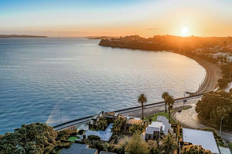
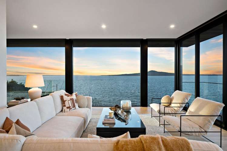
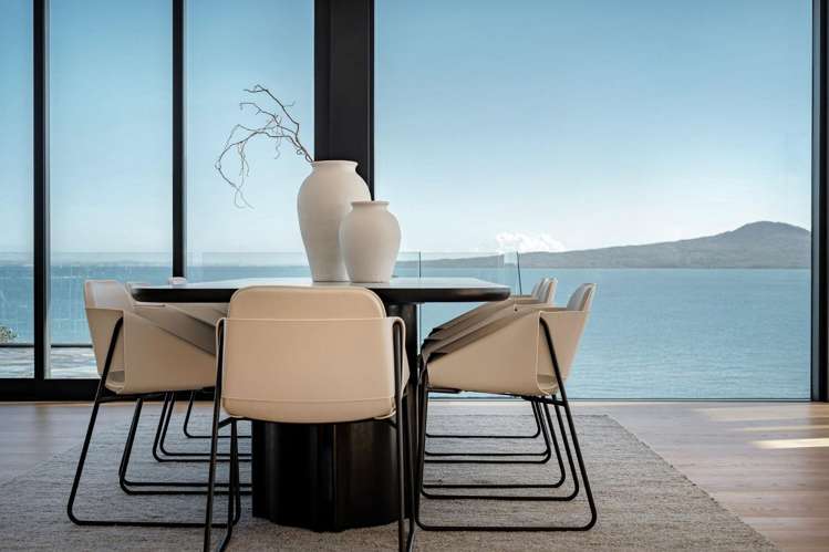
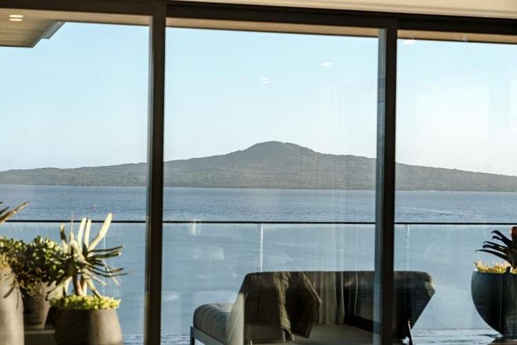
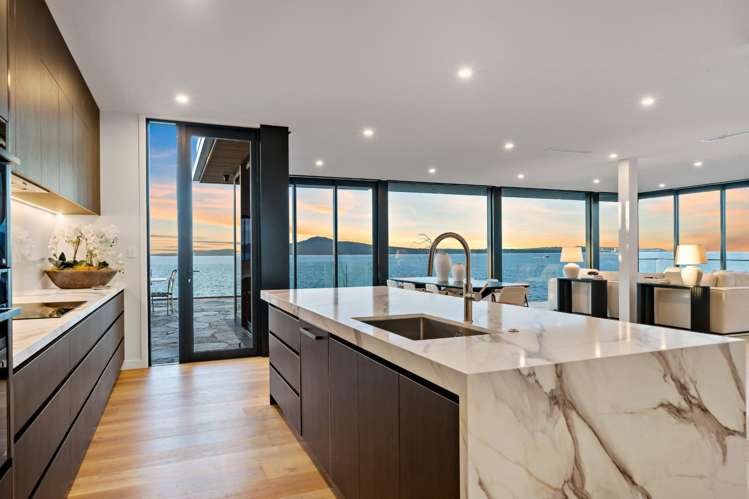
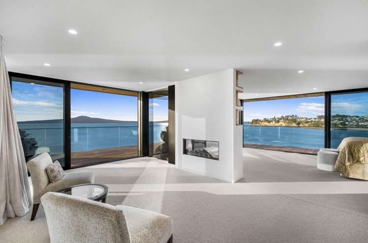
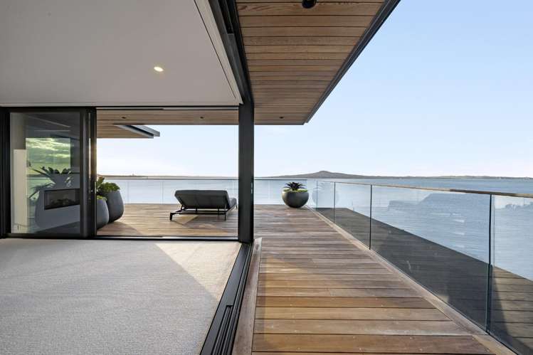
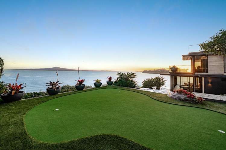
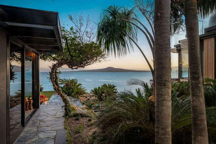
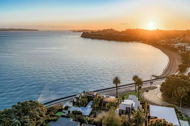
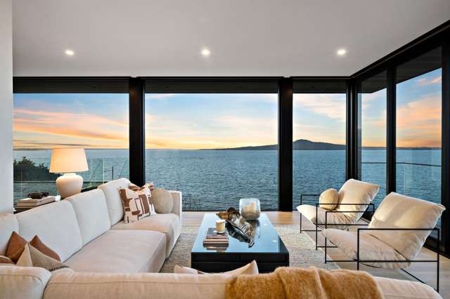
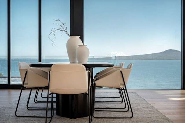
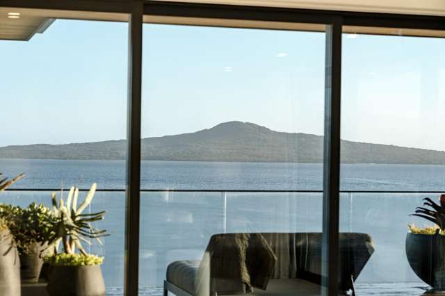
Perched on the prestigious St Heliers waterfront ridge, this extraordinary executive residence commands breathtaking panoramic views across the Hauraki Gulf to Rangitoto Island.
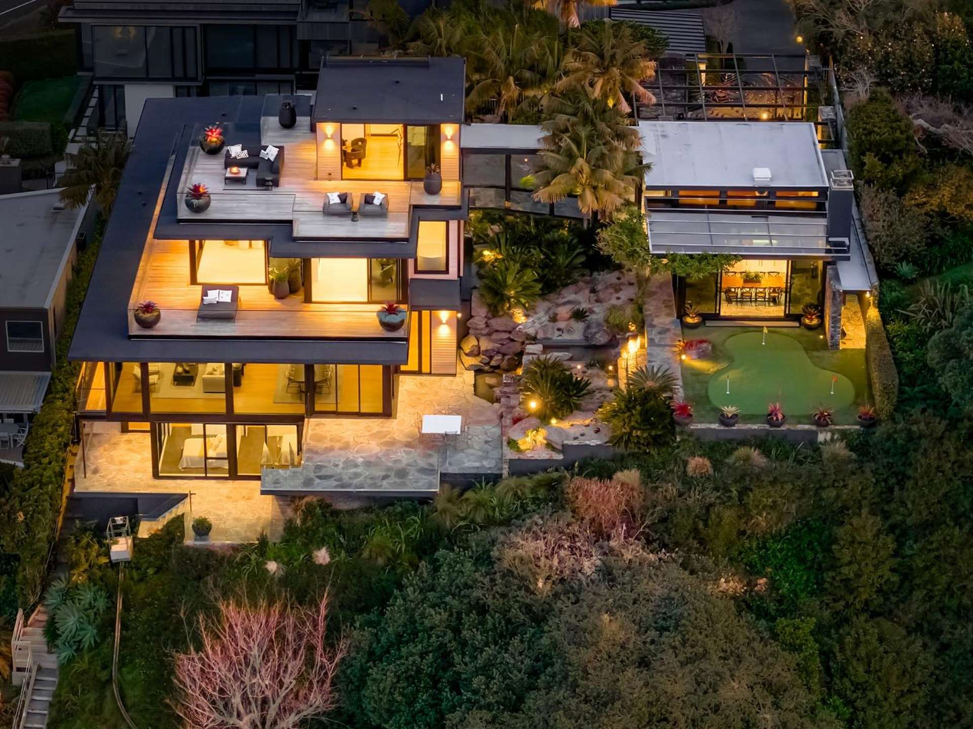
Set on 1,613sqm of beautifully landscaped grounds, the 1,200sqm home spans four luxurious levels, seamlessly connected by a lift and designed for effortless family living and entertaining.
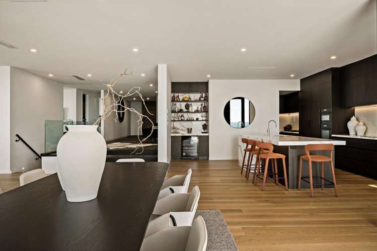
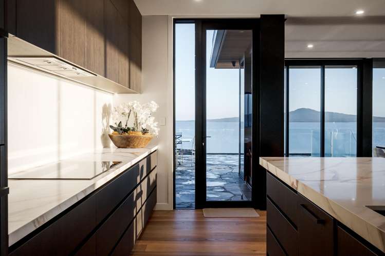
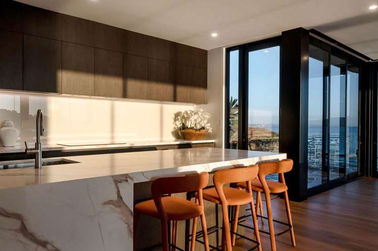
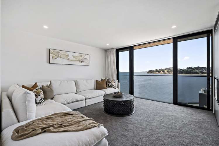
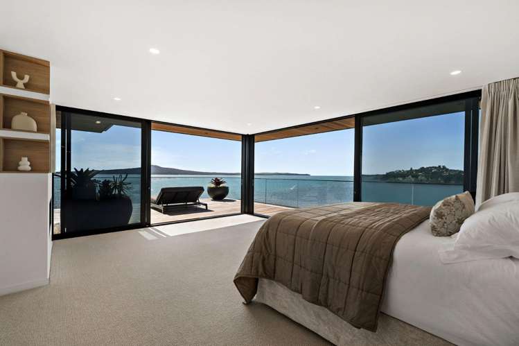
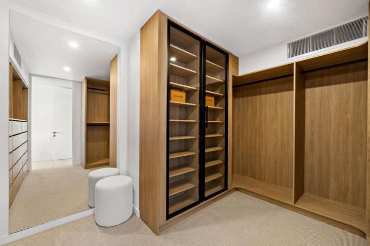
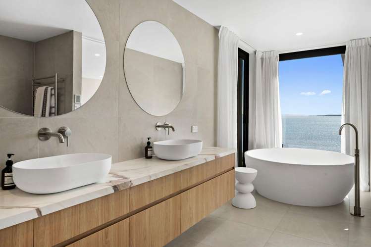
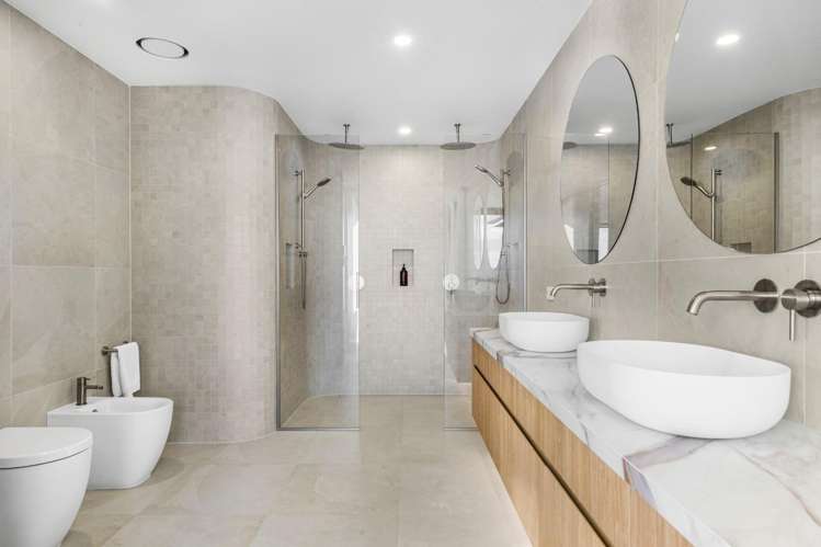
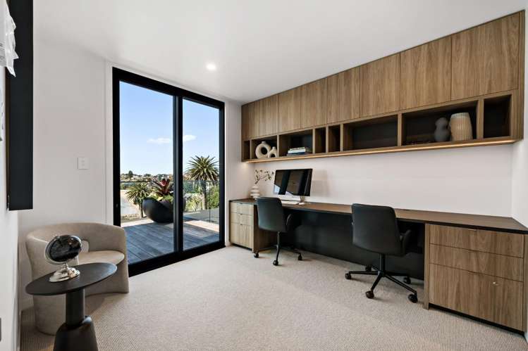
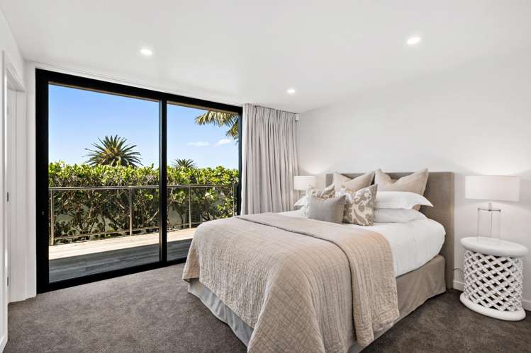
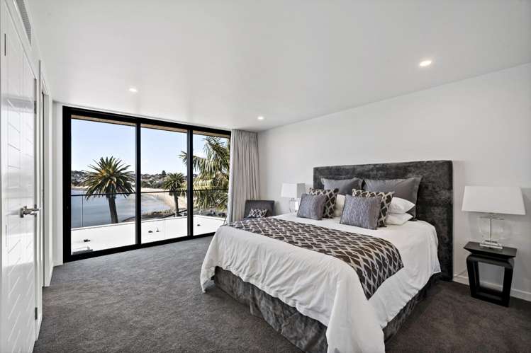
Expansive open-plan living, dining and a designer kitchen with scullery flow onto multiple balconies, while a separate TV lounge, luxurious media room, dedicated study, and five generous bedrooms – including three with ensuites – provide exceptional flexibility for families and guests.
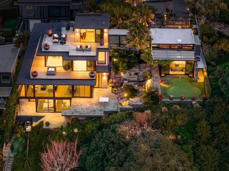
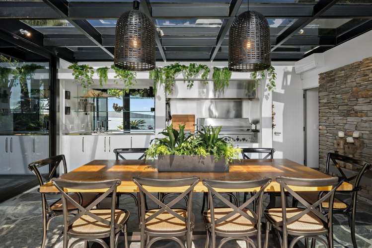
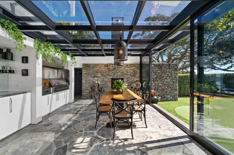
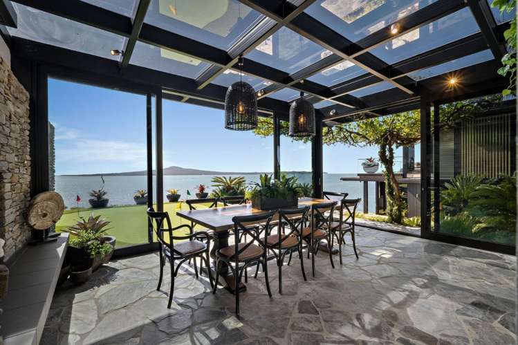
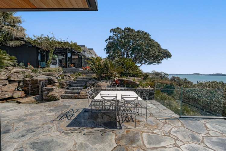
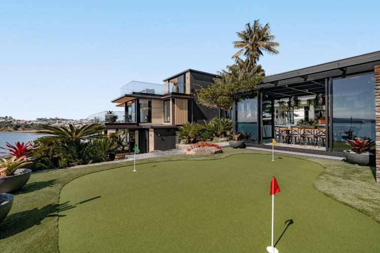
The spectacular rooftop entertaining terrace captures unforgettable harbour views, while the covered BBQ pavilion, private putting green, landscaped gardens with pond, and rare private access to Tamaki Drive create a lifestyle few homes can offer.
Complete with secure internal-access garaging, additional off-street parking, and just moments from St Heliers and Mission Bay’s beaches, cafés and restaurants, this is an exceptional opportunity to enjoy one of Auckland’s most prestigious waterfront addresses.
For more information, we invite you to contact Sue Christie on 021 278 7785, or, email [email protected].
NB: Bedding/linen separate.
PLEASE NOTE: The technical information provided (including floor plan & section sizes, for example) has been sourced from third-party organisations such as Cotality, LINZ, and Auckland Council. It is provided as a broad guide for general information, only.
BEWARE OF SCAMS: Please note Goodwins will never request any payment prior to viewing a property. Please always ensure the person you're dealing with is a verified Goodwins Employee. If you're unsure, please call our office to verify - 09 3734400.