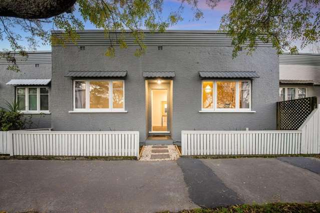
- B/9 Rama Road
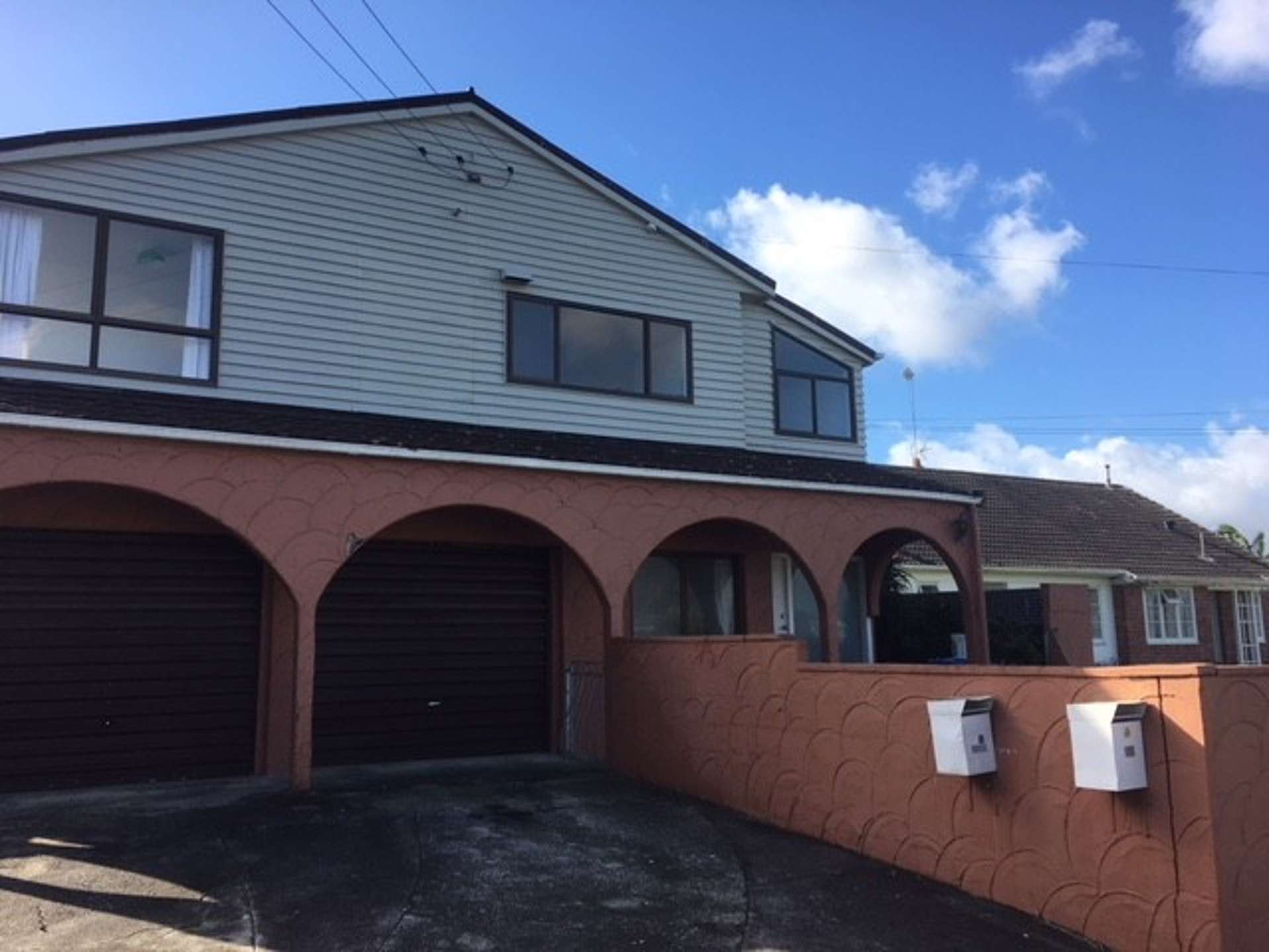
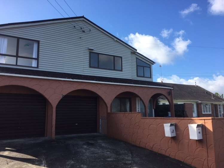
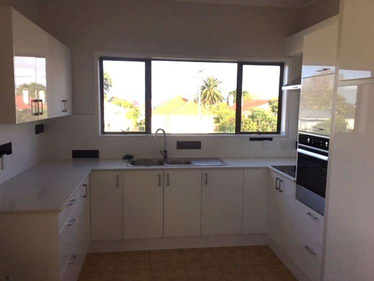
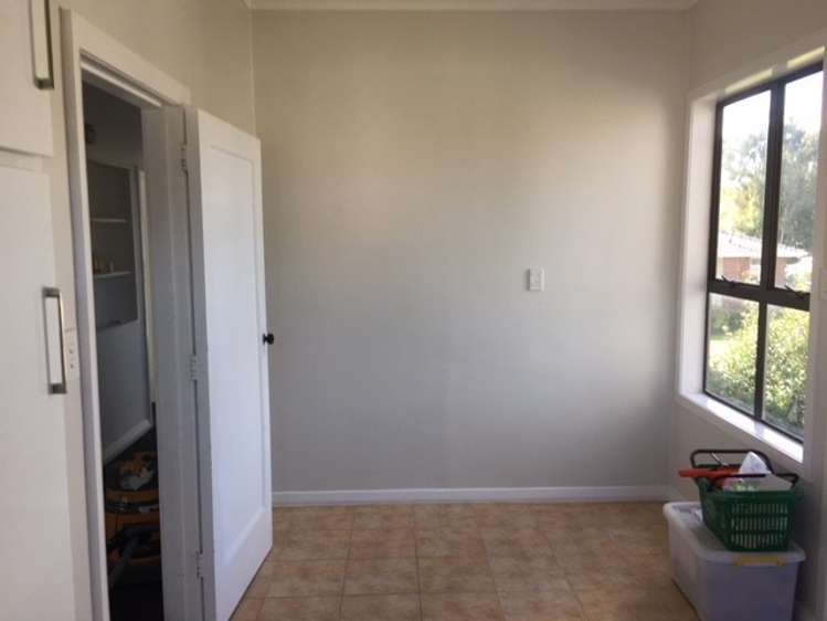
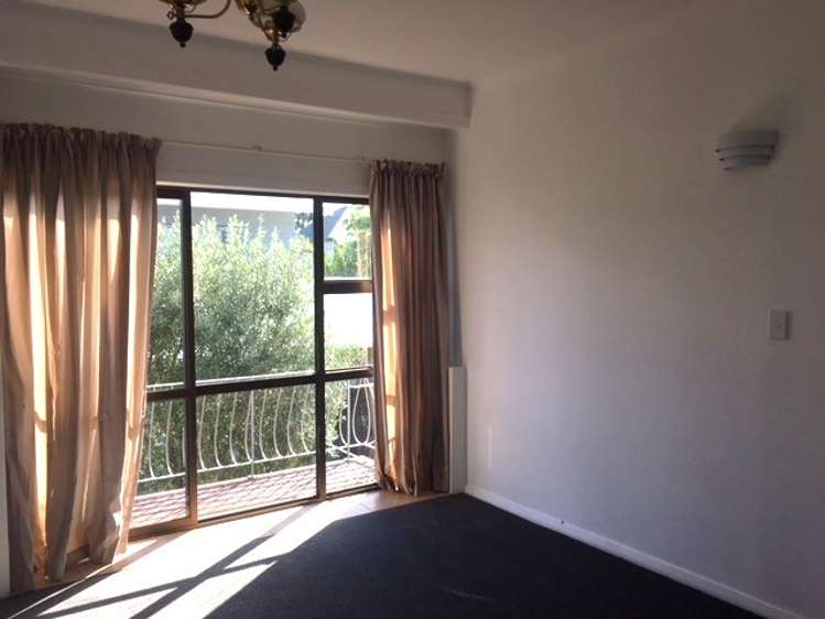
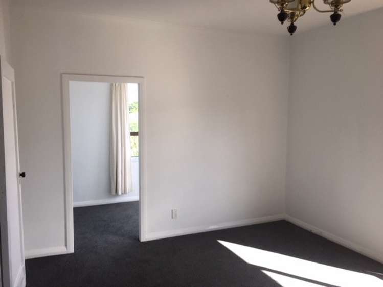
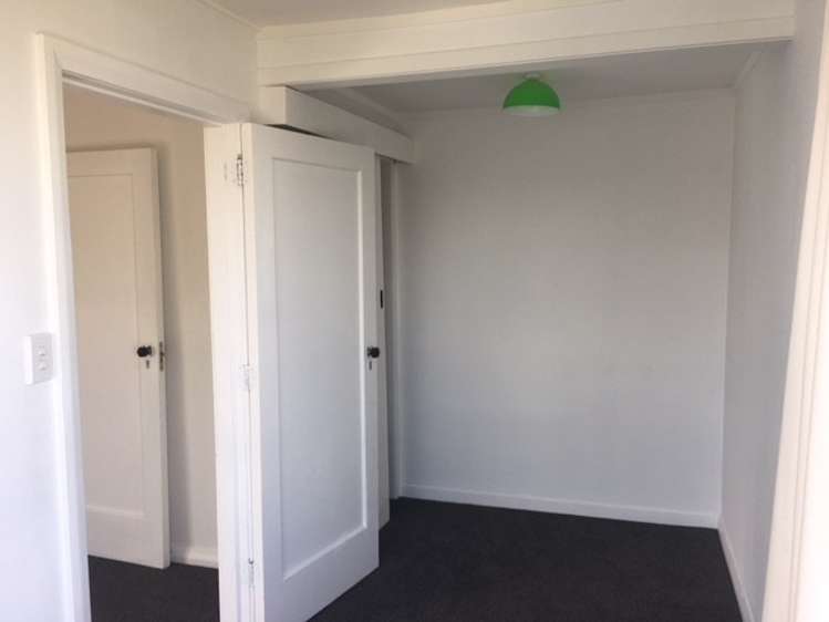
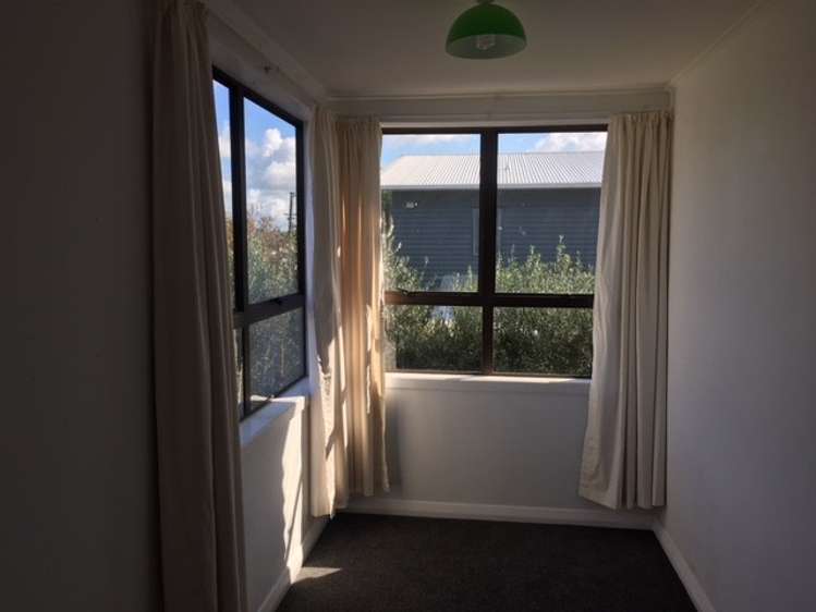
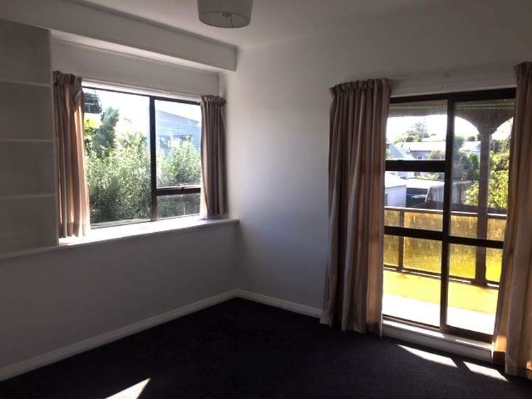
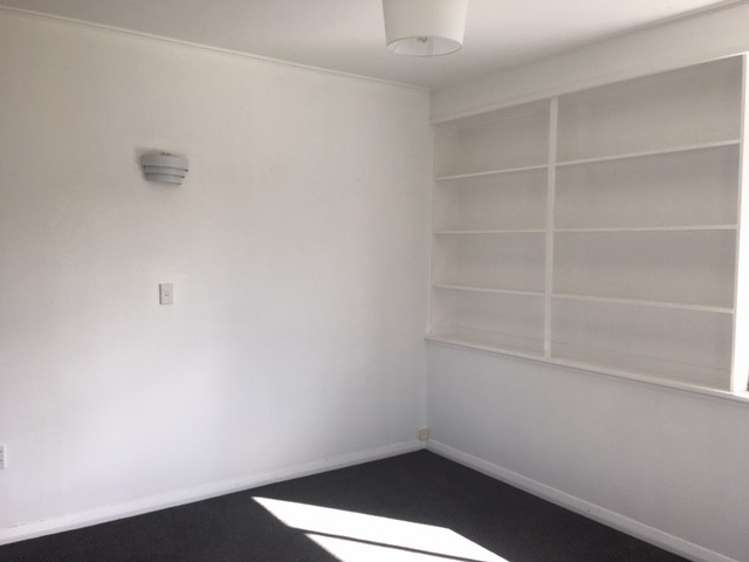
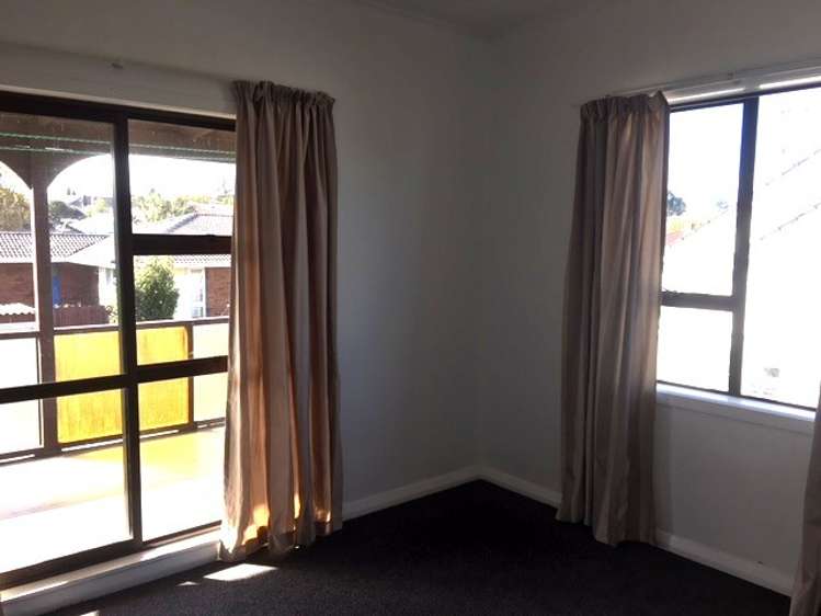
+15
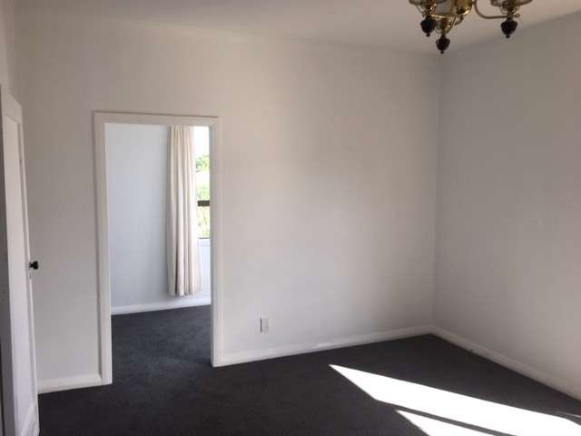
Pictures15
Map

Data

Point Chevalier, Auckland City
Point Chevalier is a suburb which lies within the Territorial Authority of Auckland, one of 269 residential suburbs which form the wider region. Point Chevalier is the 56th largest suburb of Auckland in terms of the total number of residential housing stock.
Point Chevalier provides a range of housing stock, with the earliest residential housing recorded in the area constructed between 1800 - 1809. The majority of the residential housing stock in the locality was constructed between 1920 - 1929.
Residential housing stock in Point Chevalier is made up of approximately 96% residential housing and 4% residential investment housing properties.
Learn moreADVERTISEMENT
Similar properties for rent