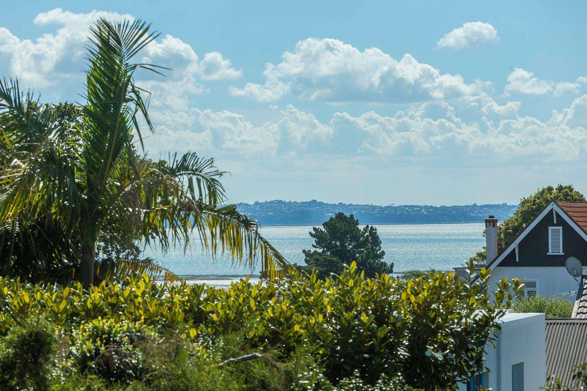
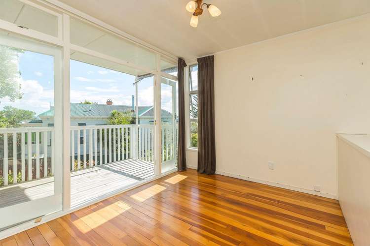
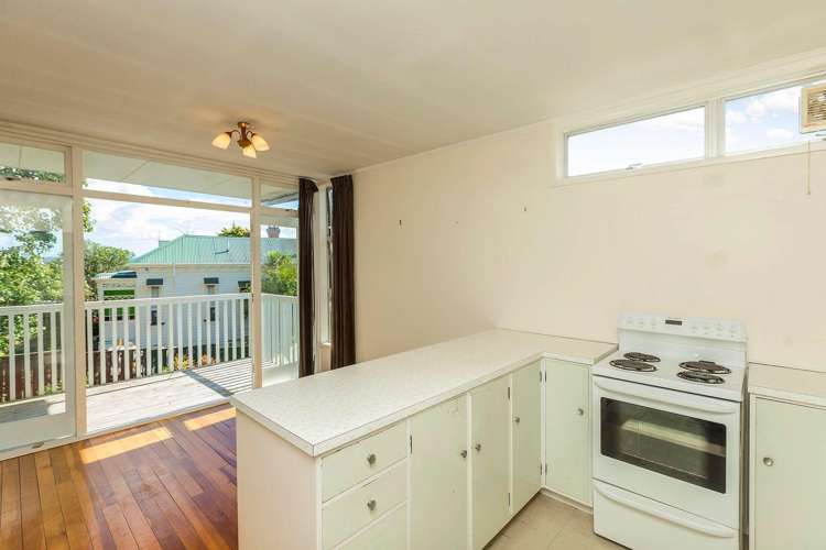
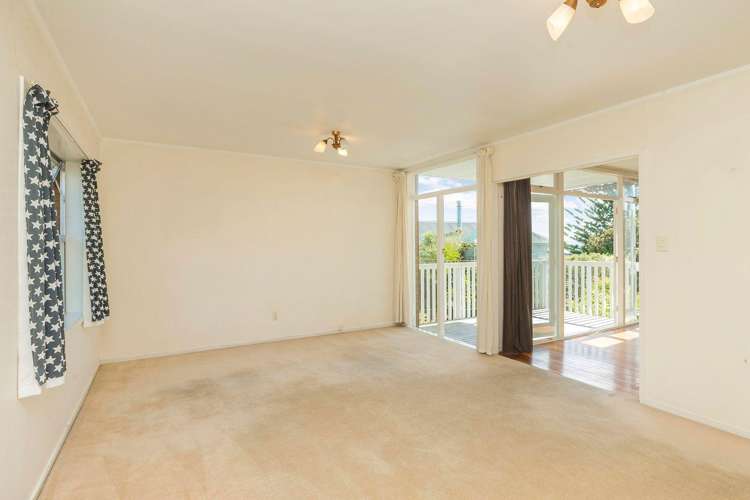
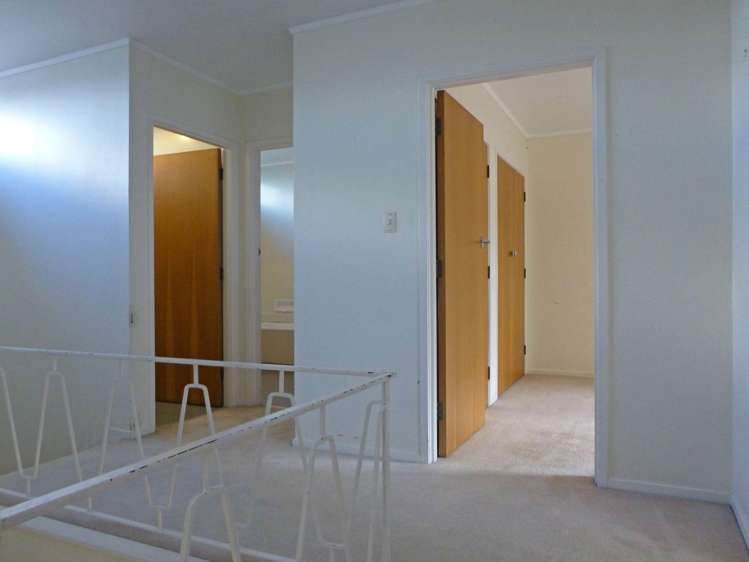
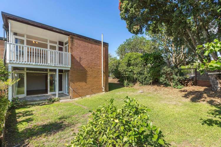
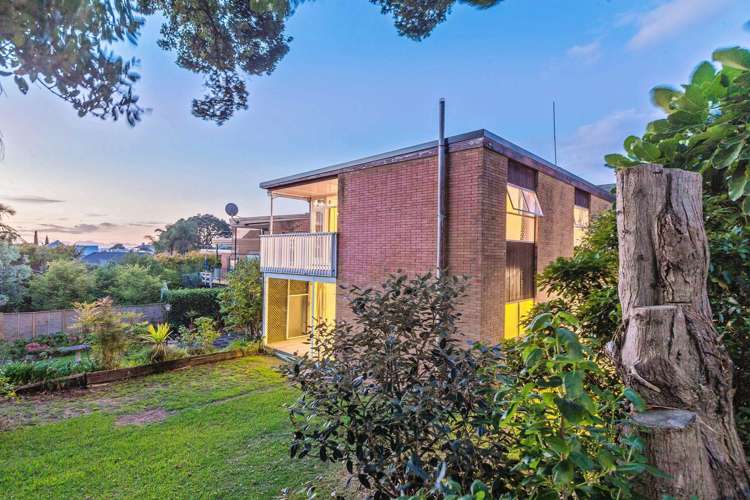
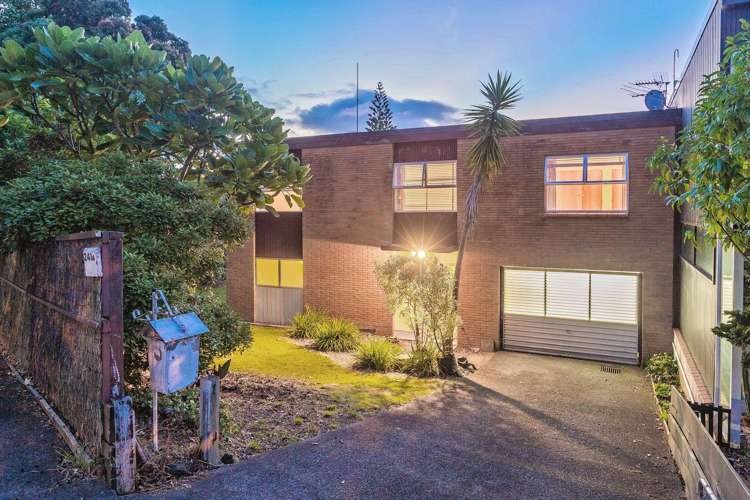
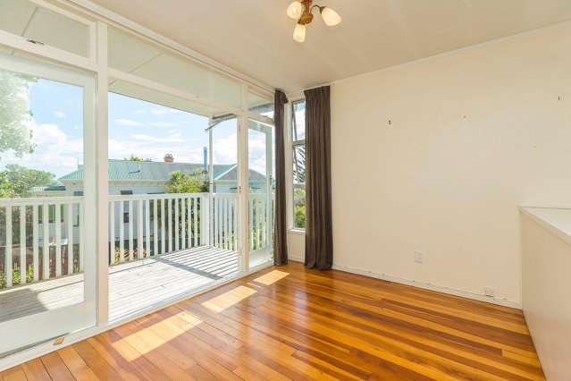
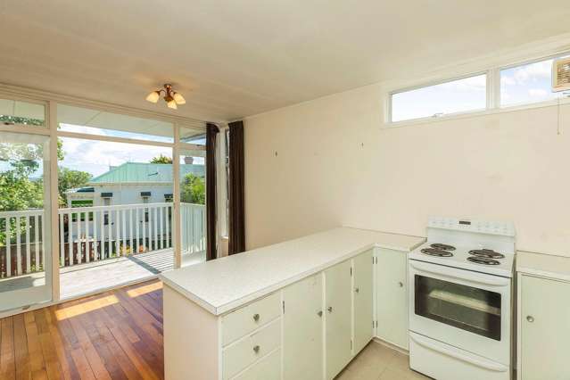
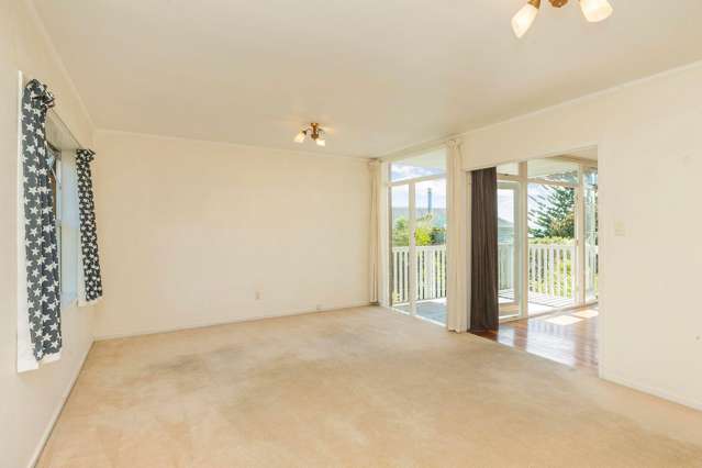
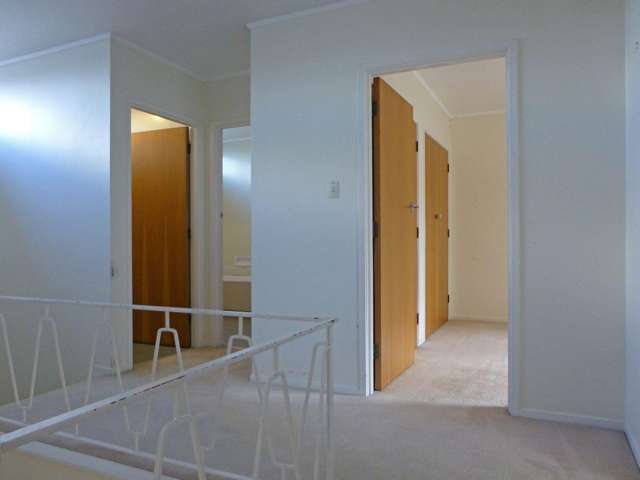
Discover the perfect blend of comfort and convenience in this well-presented 3-bedroom, 2-bathroom residence located at 241A Jervois Road, Herne Bay. This property offers a light-filled and functional layout, ideal for a professional seeking a sophisticated urban retreat. The interior is designed with modern living in mind, featuring spacious bedrooms and well-appointed bathrooms that provide a relaxing sanctuary. The home includes the convenience of a secure garage, ensuring your vehicle is safely housed. This property is available for lease starting 30 September 2026 at $1,000 per week, with a bond of $4,000. Please note that for the comfort and maintenance of the home, this property is strictly non-smoking and pets are not permitted. To maintain the quality of the living environment, the property is limited to a maximum of one tenant.
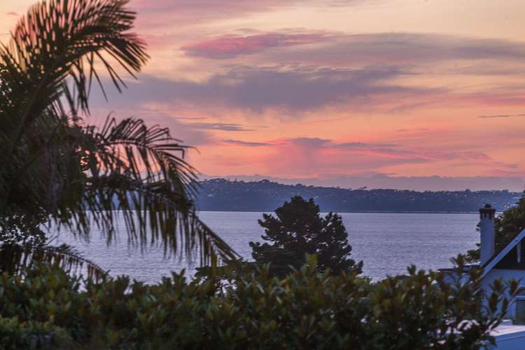
Herne Bay is widely considered one of Auckland’s most desirable coastal suburbs, known for its character-filled streets, beautiful architecture, and vibrant atmosphere. Living on Jervois Road places you in the heart of the community, just steps away from high-end boutiques, artisan bakeries, and renowned cafes. The area offers a relaxed, sophisticated lifestyle with easy access to nearby beaches and scenic coastal walkways. With seamless connectivity to the Auckland CBD and excellent local amenities, this location provides a superb balance of tranquil seaside living and urban convenience, making it an exceptional place to call home.
To enquire or apply for this rental, please visit: https://keyhook.rentals/55AOVF