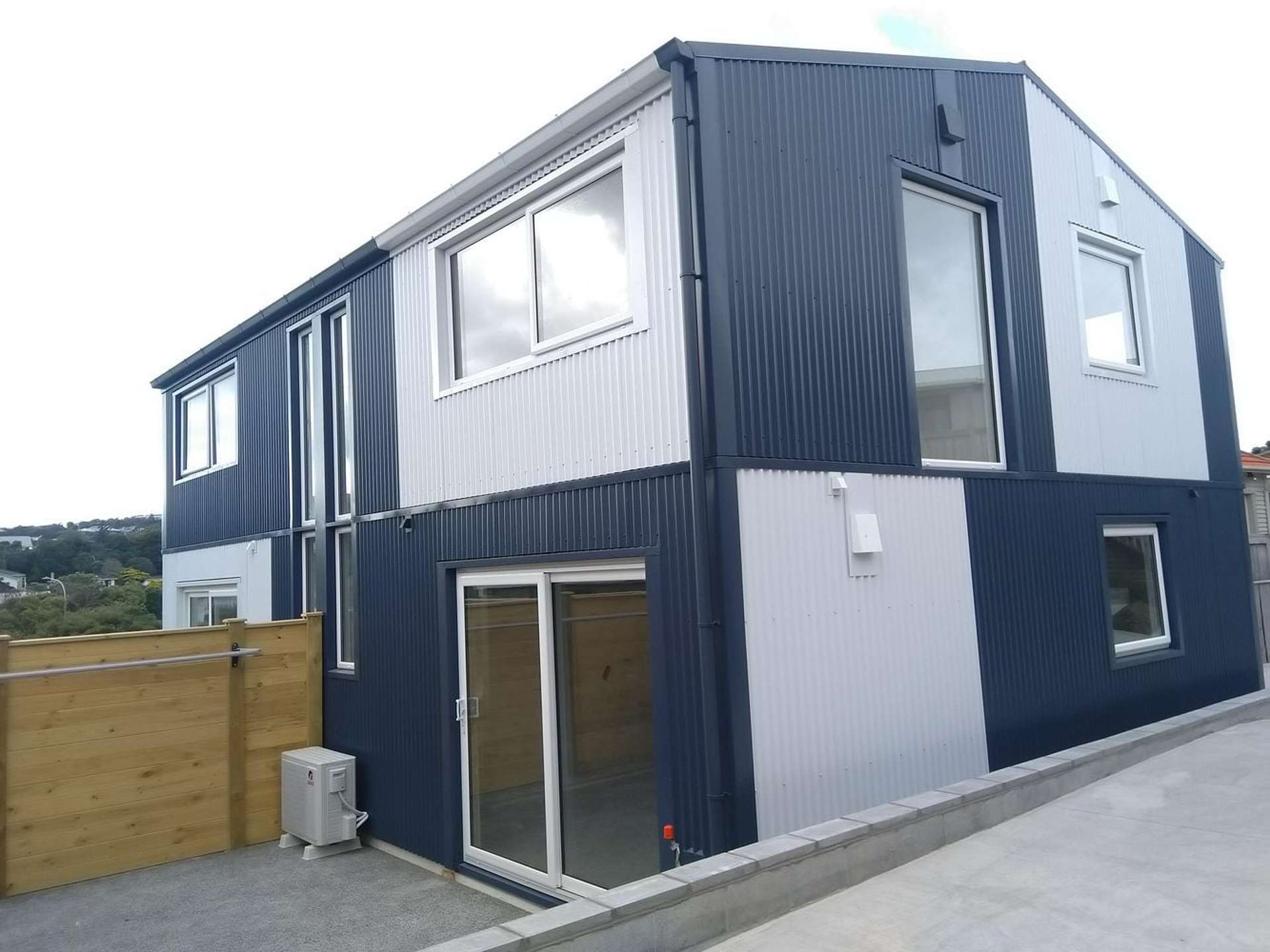
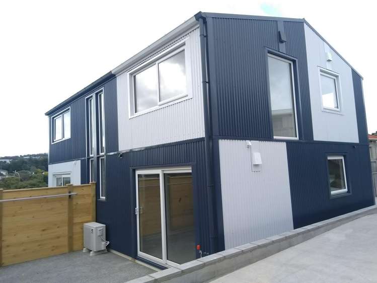
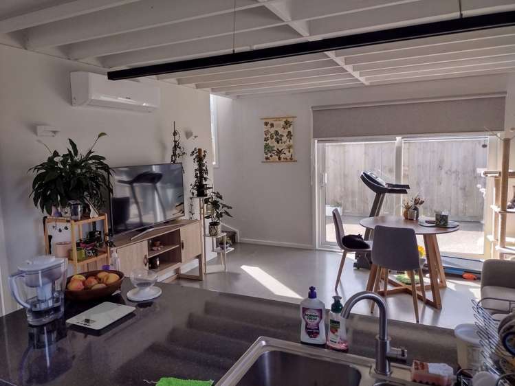
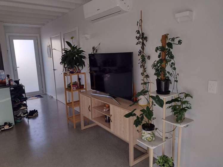
Discover comfortable living in this beautiful five year-old townhouse, perfectly positioned in a boutique owner-managed development in the heart of Newlands.
Key Features:
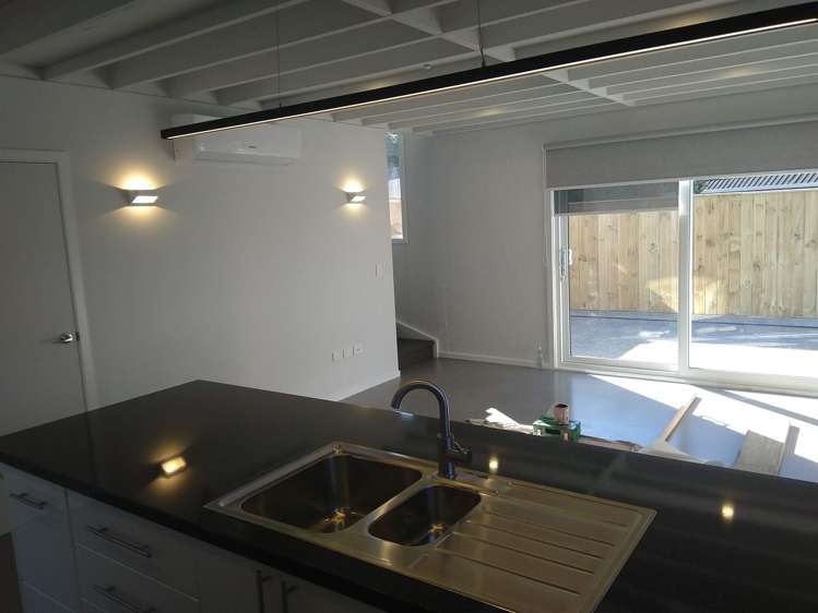
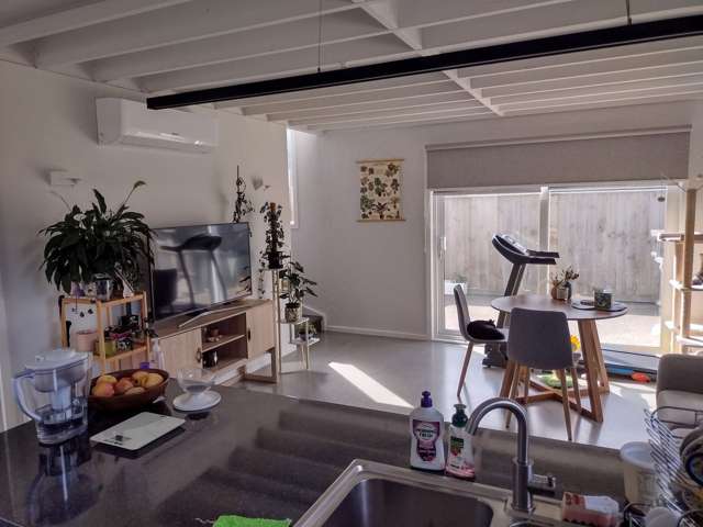
- Open Plan Living: Bright, sunny living/dining/kitchen area with seamless indoor-outdoor flow
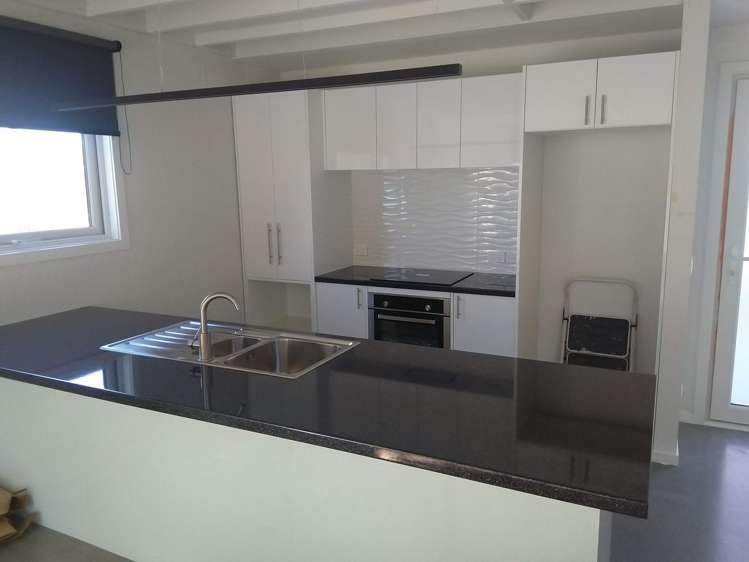
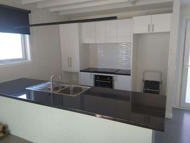
- Modern Kitchen: Spacious with European dishwasher, electric cooking, rangehood and walk-in pantry
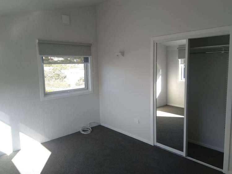
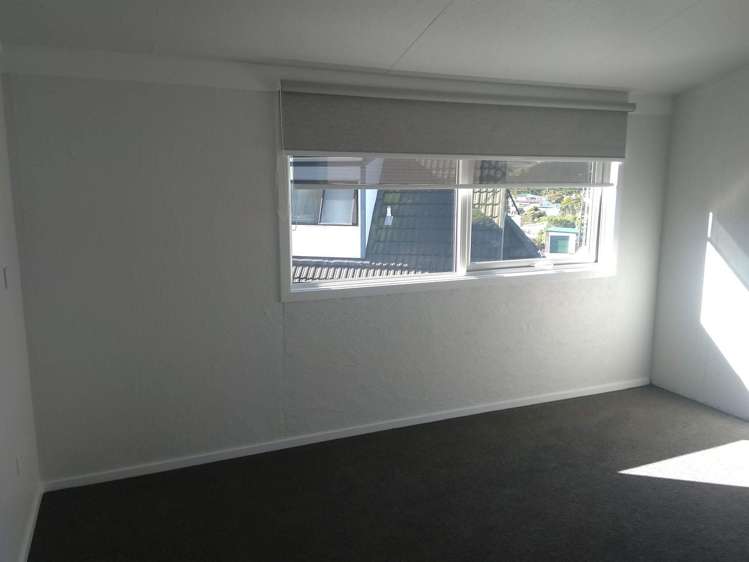
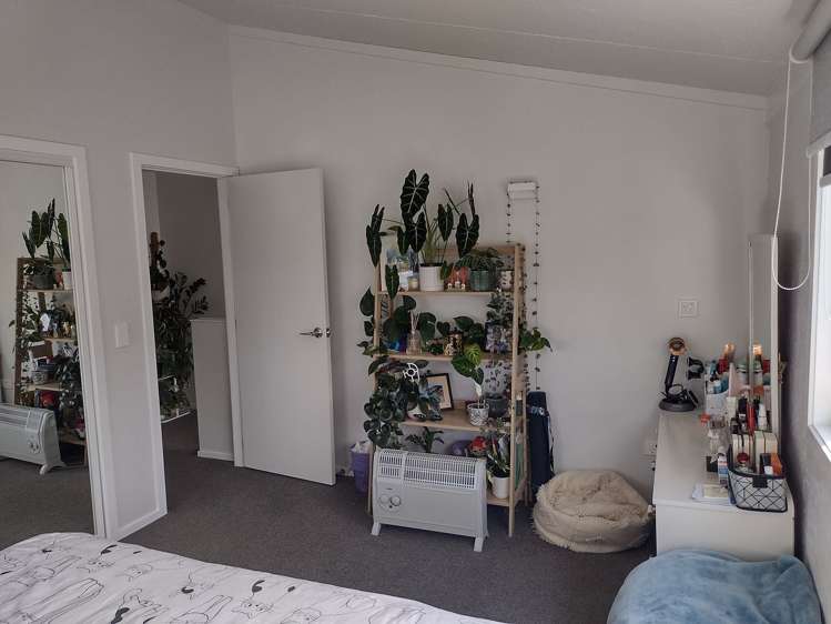
- Two Double Bedrooms: Both with built-in wardrobes for ample storage
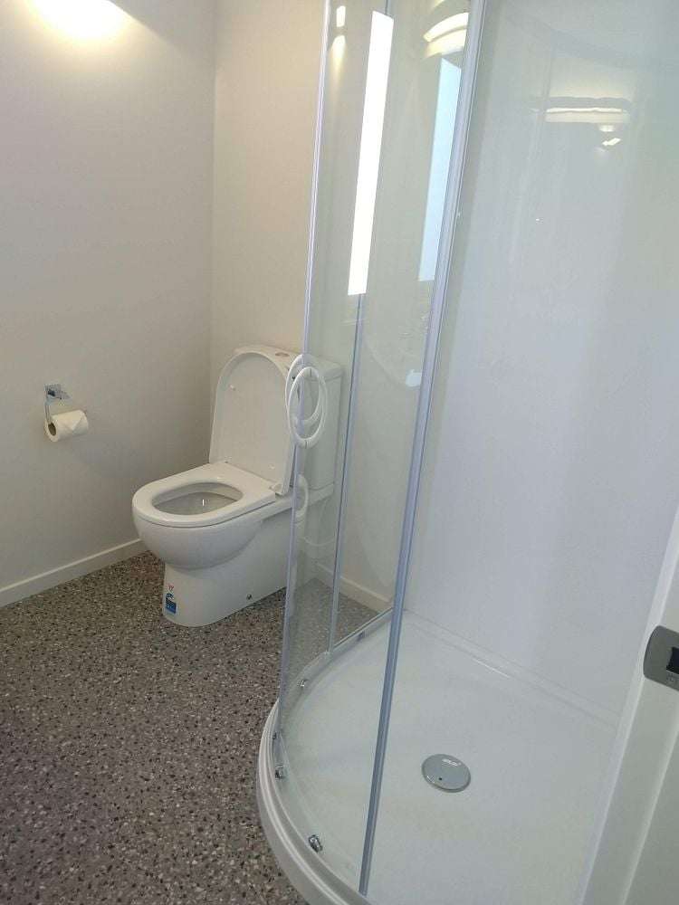
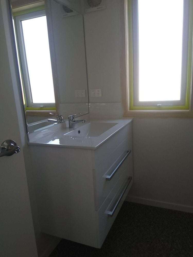
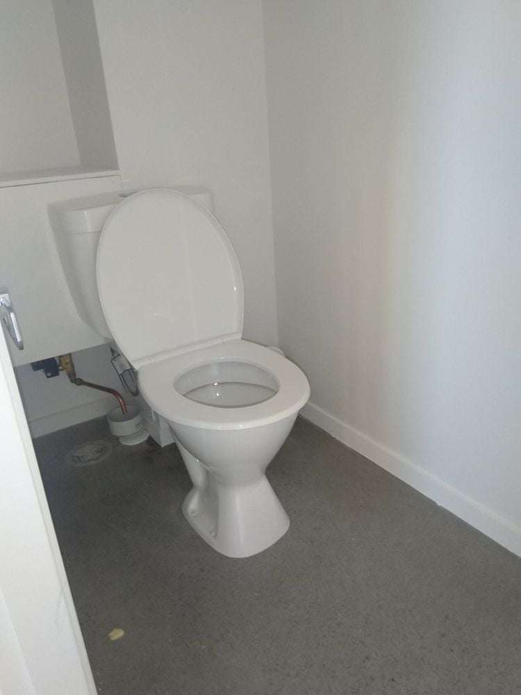
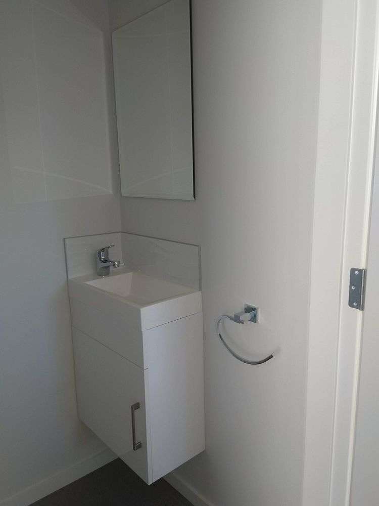
- Modern upstairs bathroom plus convenient guest toilet downstairs
- Private Outdoor Space: North-facing courtyard perfect for entertaining and relaxation
Comfort & Convenience:
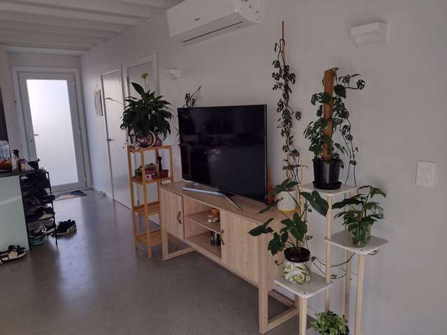
- Heat pump for efficient year-round comfort
- Heat recovery ventilation system for fresh, clean air
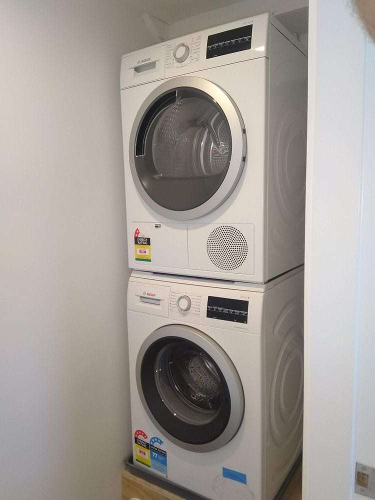
- European appliances included: dishwasher, washing machine and dryer
- Laundry and guest toilet conveniently located off living area
- Large garden shed for extra storage
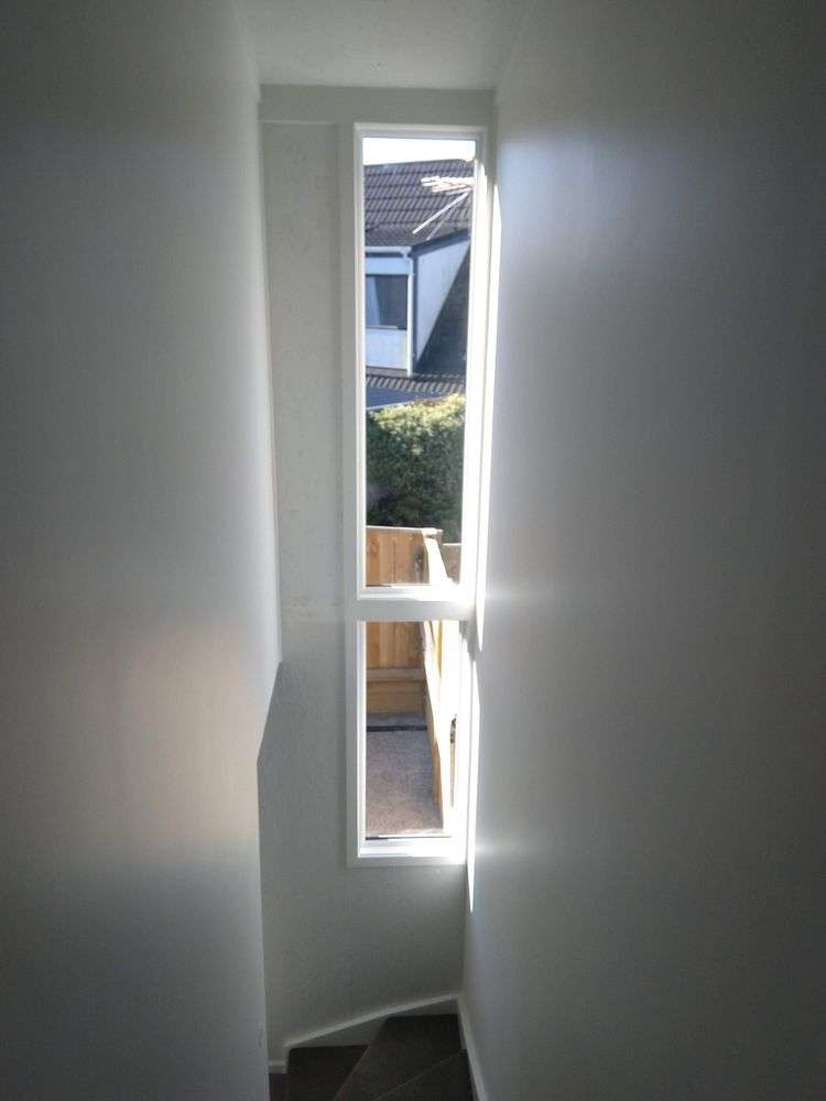
- Superior insulation (double building code standards) and double glazing
- Enhanced acoustic insulation for peaceful living
Parking & Connectivity:
- Two dedicated off-street car parks
- Generous power points throughout
- Data/LAN outlets with gigabit switch for fast internet
- Easy access to Newlands shops, Johnsonville and Wellington motorway
What Makes This Special:
- Owner-managed development ensures quality maintenance and great neighbours
- Only four years old with modern fixtures and fittings
- Quiet, well-maintained complex in sought-after location
Pets: Cats negotiable
12 months fixed term to June 2027.
Breakdown of move in costs: 4 weeks bond & 1-2 weeks rent in advance. References & credit checks required.
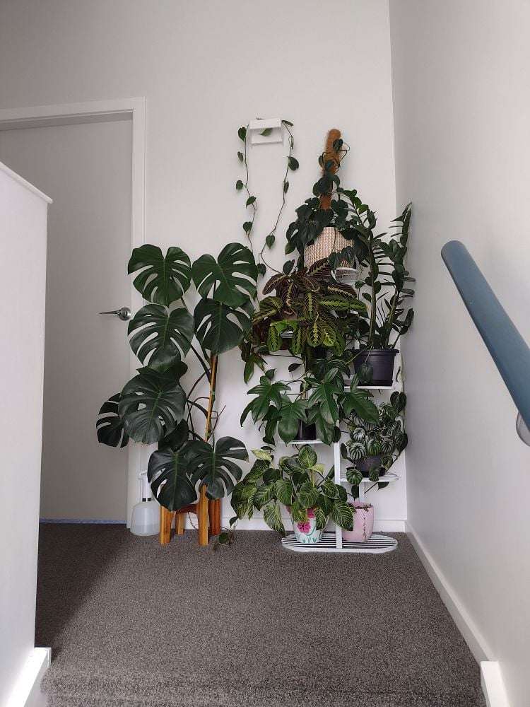
Photos are drawn from either unit of this duplex and some from the time of building. With both identical and tenanted since new, we have never managed to take other photos.
Features: Pets allowed, Double glazed, Heating, Super insulated, Heat recovery ventilation system, Fully-fenced, Courtyard, Built-in wardrobe, Air conditioning, New build, Healthy Homes compliant
Upcoming open homes: Thu, Jul 9 - 2:00pm - 2:30pm (Booking required)TENANTS: To apply or schedule a viewing please click the email button to contact the landlord directly.
LANDLORDS: myRent.co.nz provides a cheaper solution to get your property in front of more potential tenants. We also offer property management for just $20/month.