HOW TO BOOK A VIEWING:
TRADEME: Click the "Email Enquiry" button on this page. You'll receive an automatic email with a link to our booking system.
REALESTATE.CO.NZ: Use the "book a viewing" button on this page.
ONEROOF: Click the "Enquire" button on this page to send our team an email. You'll receive an email back with a link to our booking system.
OUR WEBSITE: Copy & paste to https://glasshousenz.com/rental-listings and use the "Book a Viewing" button.
E-viewings are available if you do not live locally - please contact the property manager directly.
If you have any issues or questions, call our team on 0800 555 210.
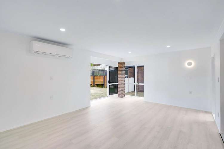
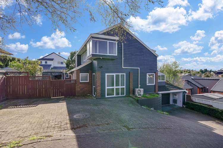
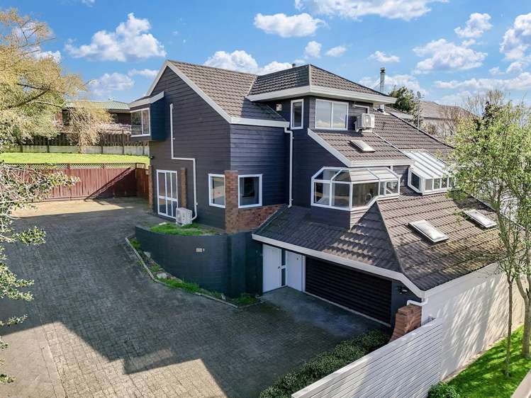
Positioned in one of St Andrews' most desirable neighborhoods, this spacious home offers exceptional family living with plenty of room to relax, entertain, and enjoy.
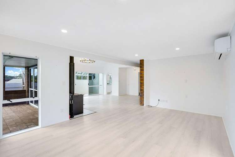
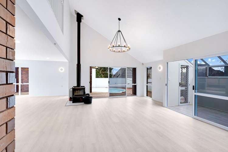
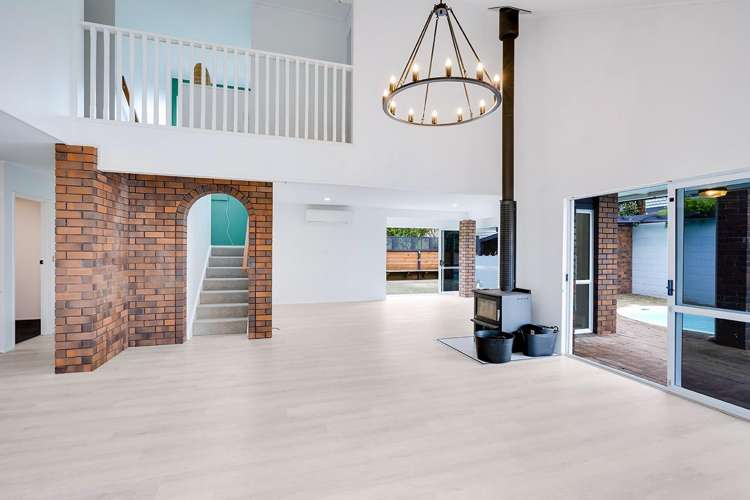
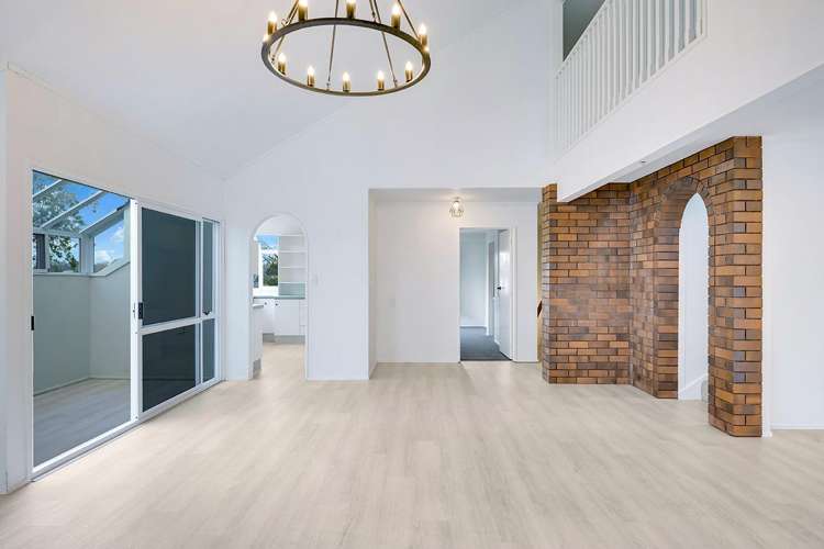
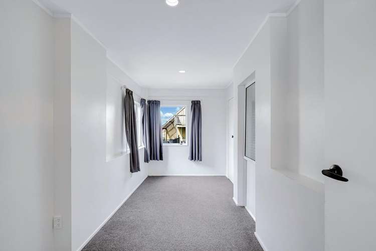
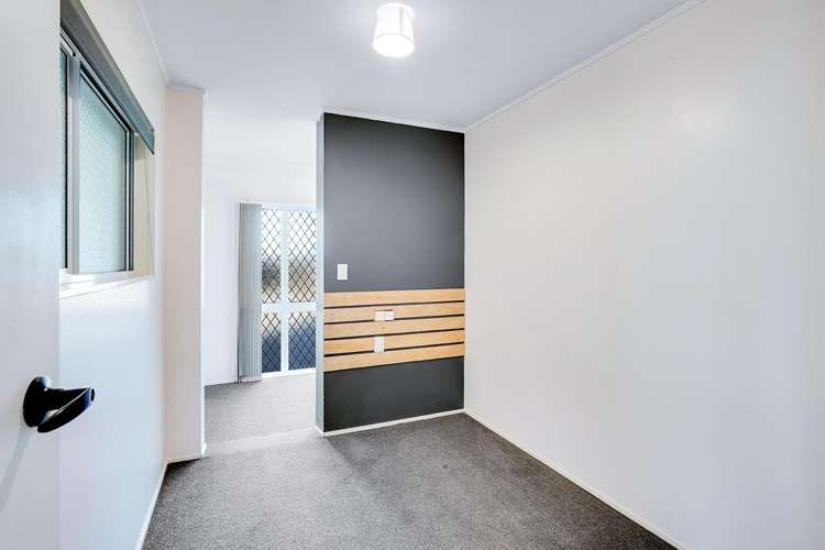
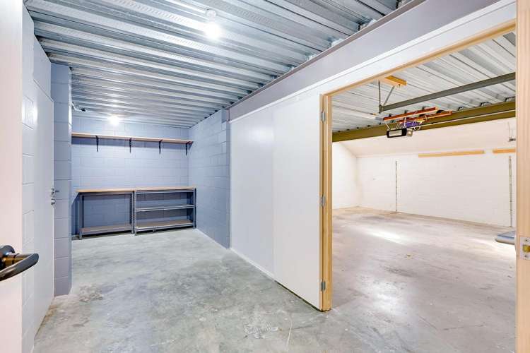
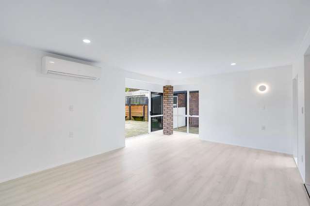
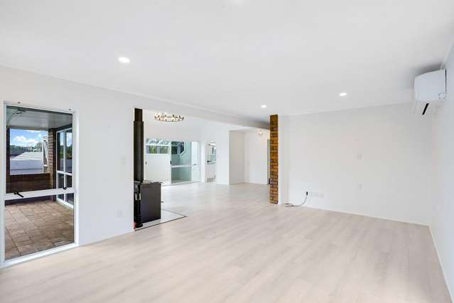
Spread across three levels, the options here are endless. This home features generous open-plan living and dining areas filled with natural light, complemented by a cosy wood burner and multiple heat pumps for year-round comfort. Bonus rooms include space to set up a home office with its own access door, a sunroom, a cattery, a sunroom and hobby/games room or gym space downstairs, making this home perfect for those with preteens or teenagers. If storage is what you need this home surely does provide.
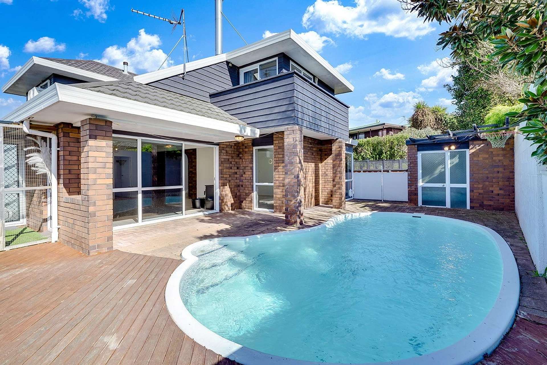
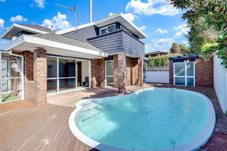
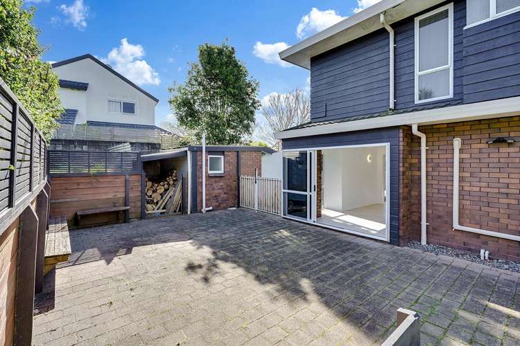
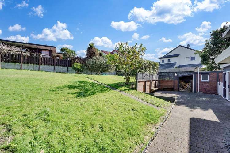
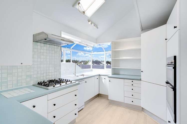
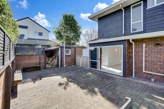
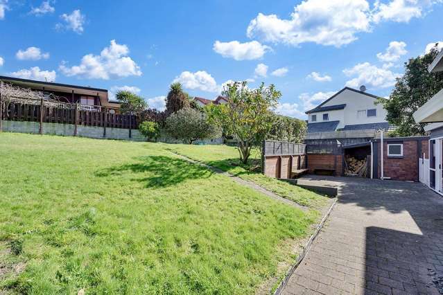
The well-appointed kitchen flows seamlessly to the outdoor entertaining areas, where you'll find a fully fenced salt water swimming pool and pool house with toilet, a sunny patio with built-in seating, established gardens, fruit trees, and a large backyard ideal for children and pets. Boasting quality appliances such as two ovens, a gas cooktop, dishwasher and rangehood.
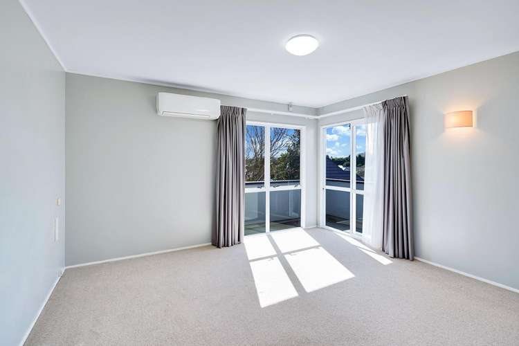
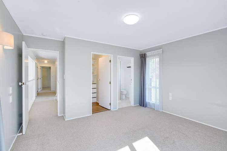
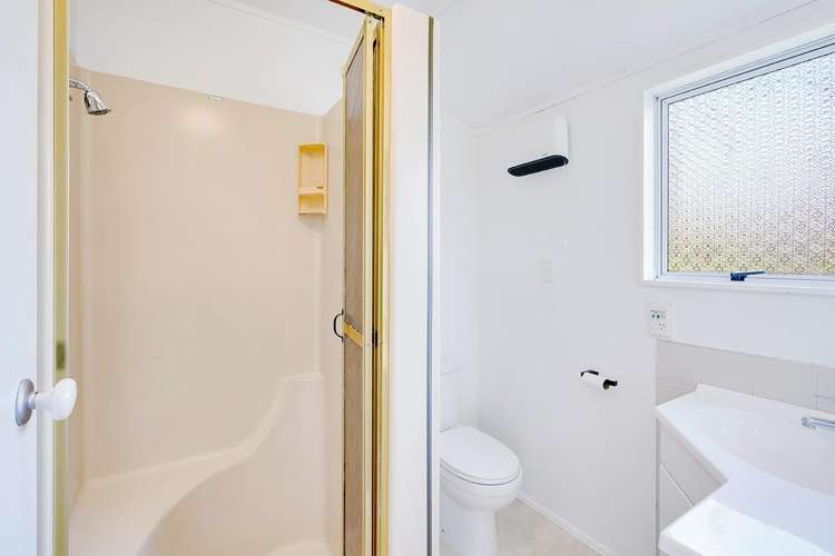
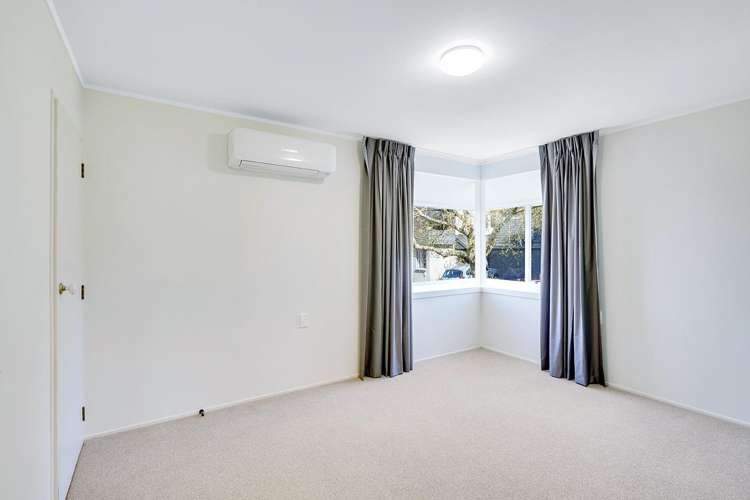
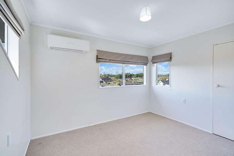
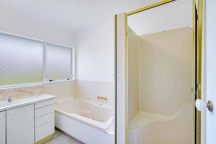
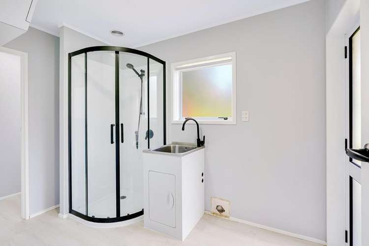
Located on the top level is the master bedroom with its own ensuite bathroom and a large walk-in wardrobe. A private patio is also located here, off the master suite. Two additional bedrooms and a large family bathroom are also located on the top level. The fourth bedroom is located on the second level. Here you will also find a combined laundry and bathroom with shower and separate toilet.
Conveniently located within walking distance to river walks, playgrounds, and Cinnamon Café, with easy access to The Base, Chartwell Shopping Centre, local schools, and major transport routes.
Parking is in the double garage. There are also two off street carparks available, to park your boat or caravan.
This is a fantastic opportunity to enjoy a spacious family home in a highly sought-after location. You need to see it to believe it.