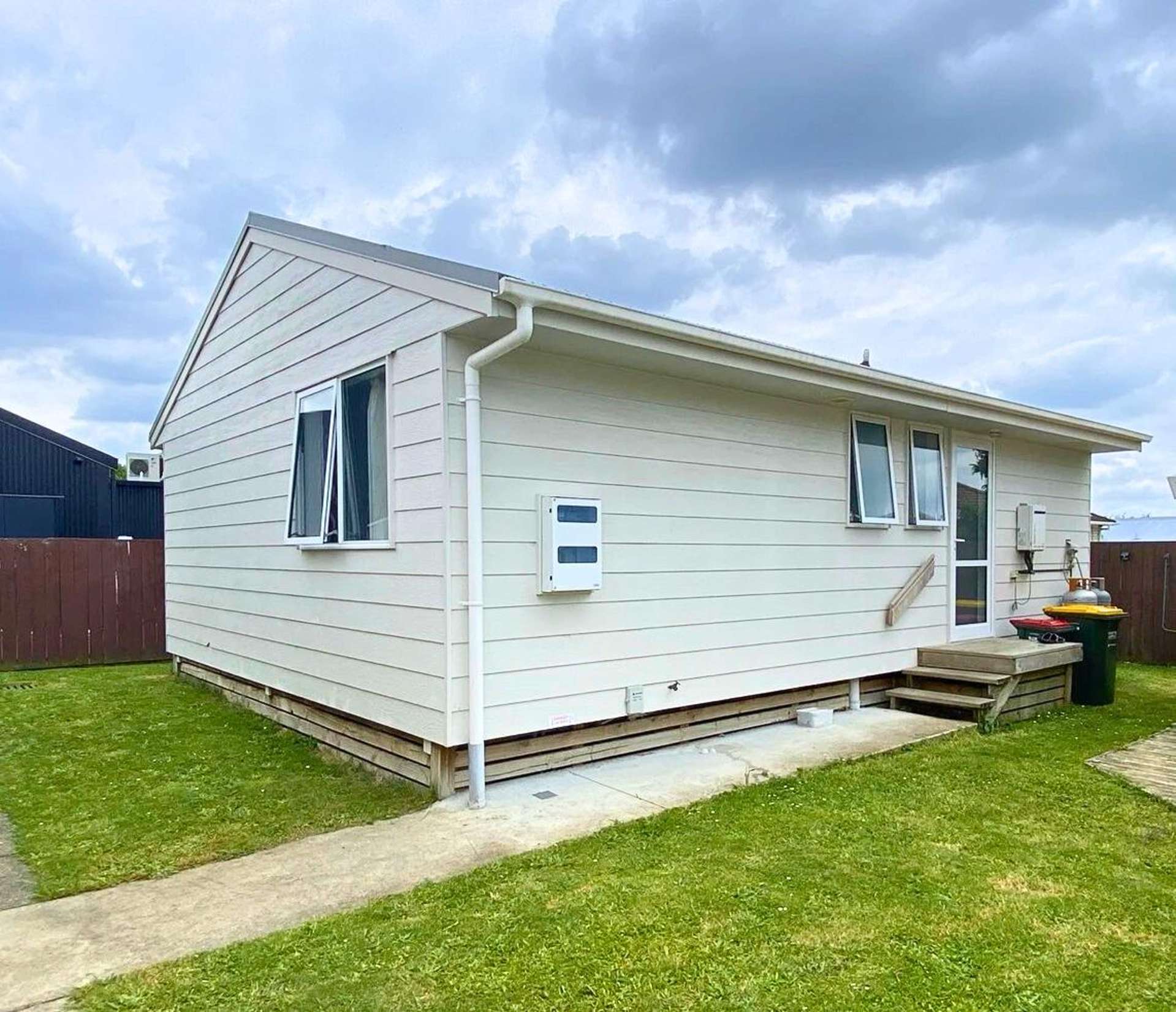
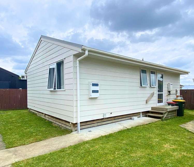
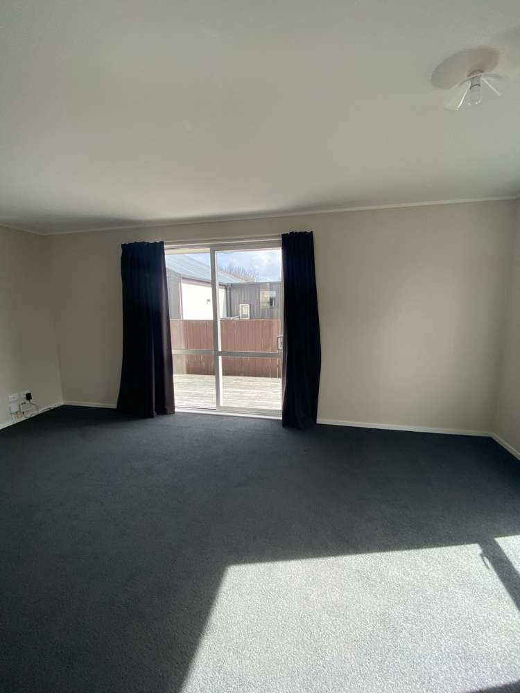
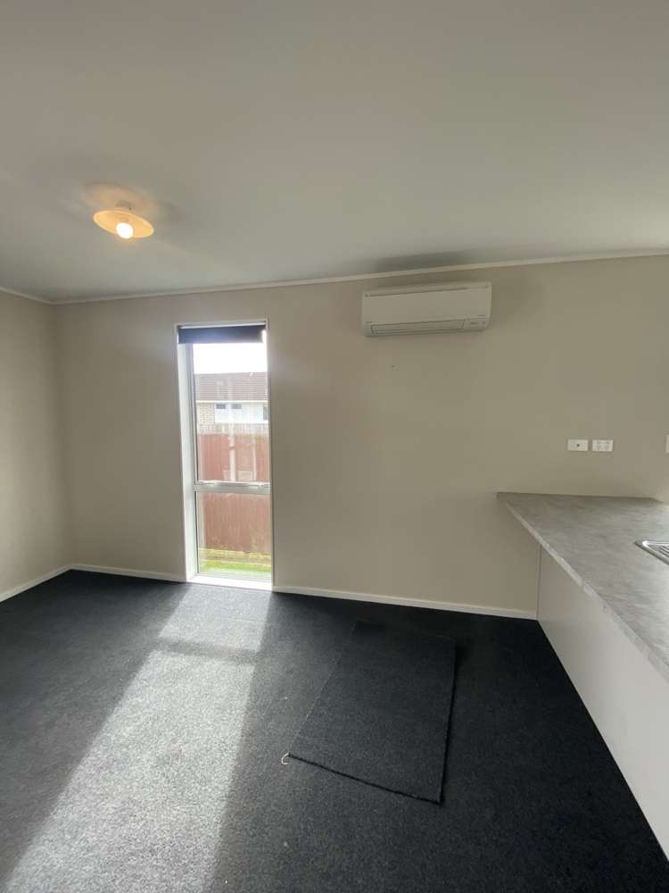
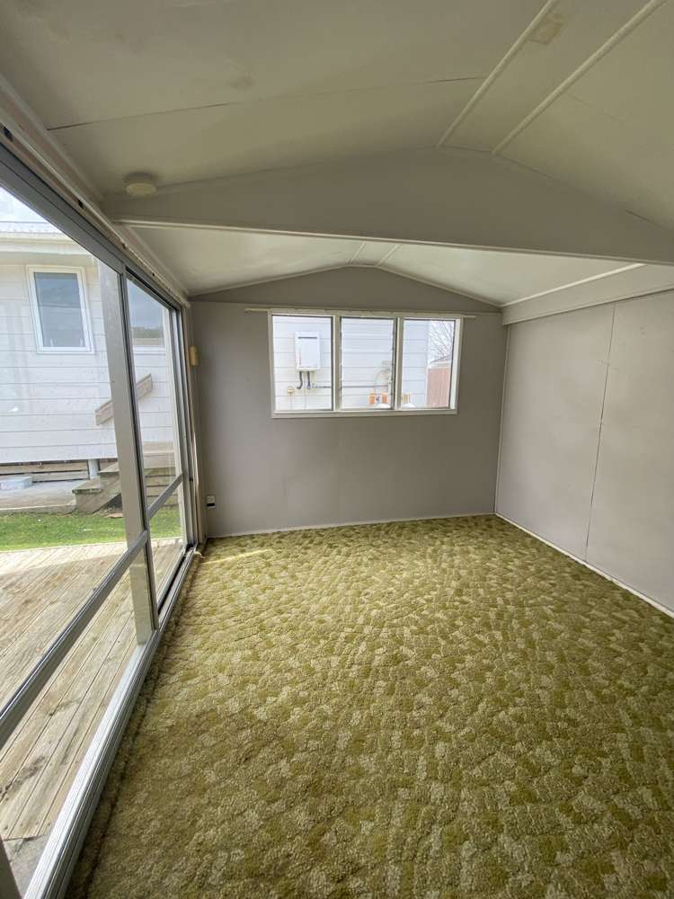
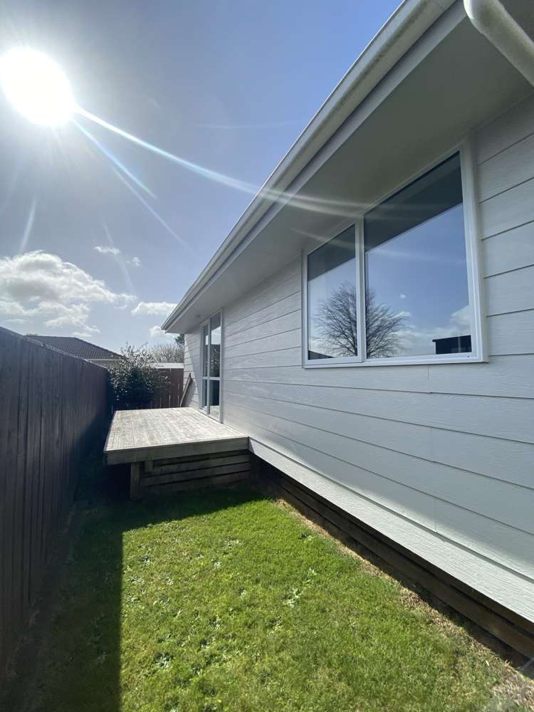
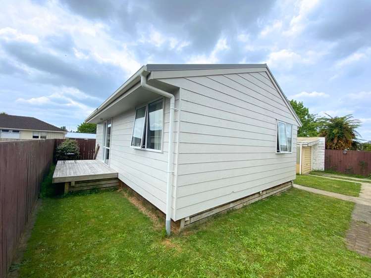
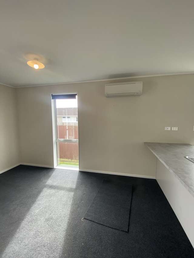
Tucked away from the road in a quiet setting, this stand-alone two-bedroom home offers privacy and comfort, directly opposite St Paul's Collegiate.
Enjoy convenient access to Hamilton's CBD, Te Rapa's commercial and retail hub, Chartwell Square Shopping Centre, Waikato University, and Waikato Hospital. The property is also well-connected to main arterial routes heading north and is surrounded by excellent schooling options.
Features include:
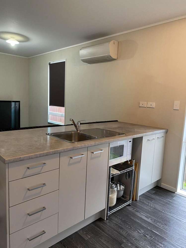
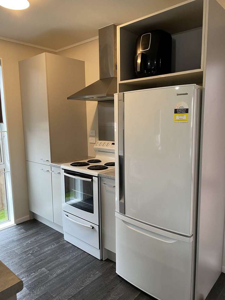
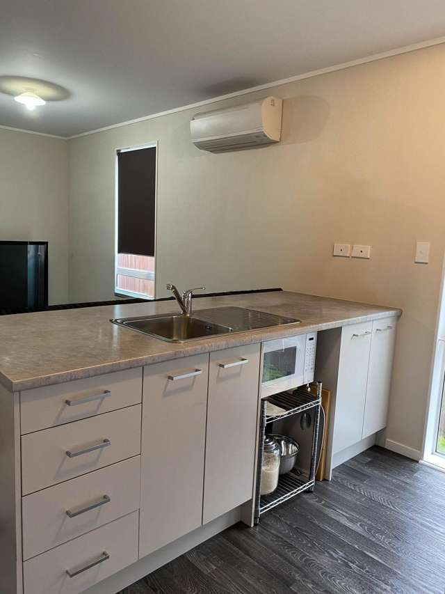
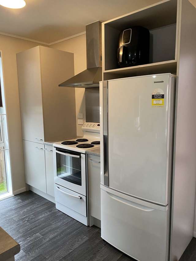
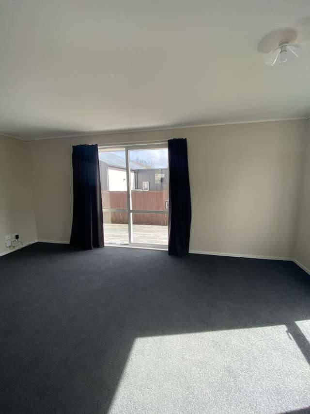
- open plan kitchen, dining & living area
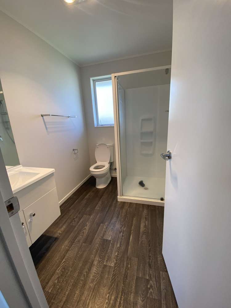
- 1 bathroom
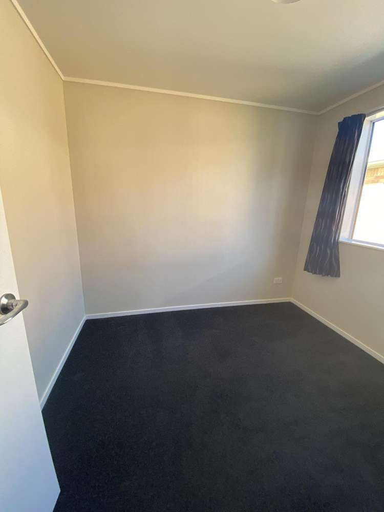
- 2 bedrooms
- a good sized laundry & storage arrangement
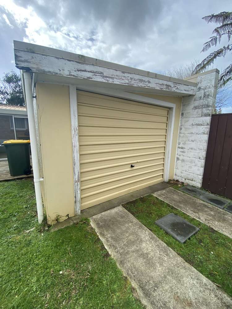
- 1 detached single garage
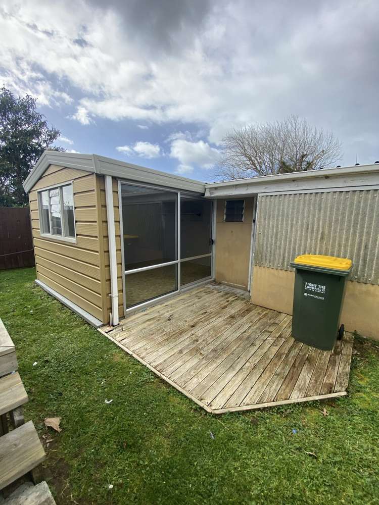
- outside storage room
- bus stop at your gate
TO VIEW THIS PROPERTY PLEASE HEAD TO https://bookme.tpsportal.co.nz/tps1741
TO MOVE INTO THIS PROPERTY RAY WHITE HAMILTON PROPERTY MANAGEMENT REQUIRES THE FOLLOWING:
FOUR WEEKS BOND
FIRST WEEKS RENT
Beware of Rental Scams. We bring to your attention the number of rental scams that are targeting tenants through fake rental listings on social media. To ensure you stay safe, note that all communication regarding tenancy applications, offers, & requests for tenancy agreements will only come from a verified email address associated with @raywhite.com If anyone tries to engage through different means, or through social media platforms, it may be a scam. Ray White Hamilton does not use Social Media for renting purposes. We advise tenants to verify the authenticity of rental listings and to be cautious of communications or emails that are not connected to @raywhite.com If you have any doubts or concerns about a listing, please call Ray White directly