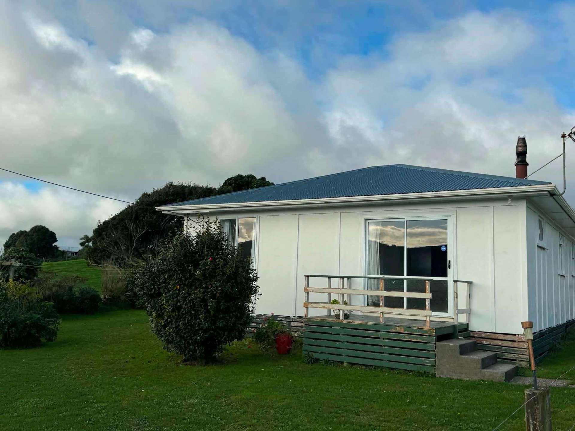
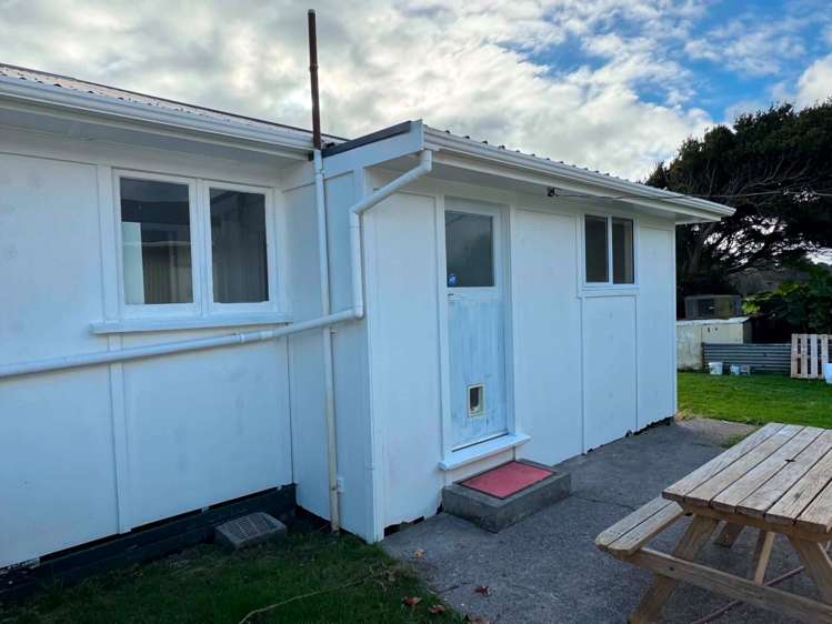
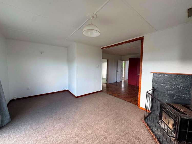
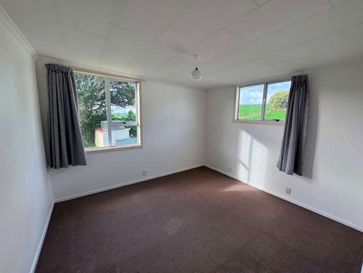
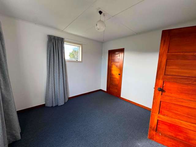
- 334 Pukearuhe Road


+10
Pictures10
Map
Data
About the area

Urenui, New Plymouth
Urenui is a suburb which lies within the Territorial Authority of New Plymouth, one of 41 residential suburbs which form the wider region. Urenui is the 21st largest suburb of New Plymouth in terms of the total number of residential housing stock.
Urenui provides a range of housing stock, with the earliest residential housing recorded in the area constructed between 1900 - 1909. The majority of the residential housing stock in the locality was constructed between 1960 - 1969.
Residential housing stock in Urenui is made up of approximately 63% residential housing and 36% lifestyle properties.
Learn moreADVERTISEMENT