To book a VIEWING or submit an APPLICATION, please visit: https://apply.tpsportal.co.nz/tps1373 (copy and paste this link)
If there are no set viewing times for this property, simply enter your contact details and enquire. You will be notified via email once viewing times are made available.
Viewing times are between 8:30 a.m. and 5:00 p.m. Monday through Friday, and each viewing lasts 15 minutes. Please ensure that you are on time so you do not miss out on viewing the property.
PLEASE NOTE: Please DO NOT enter the property unless for a scheduled viewing.
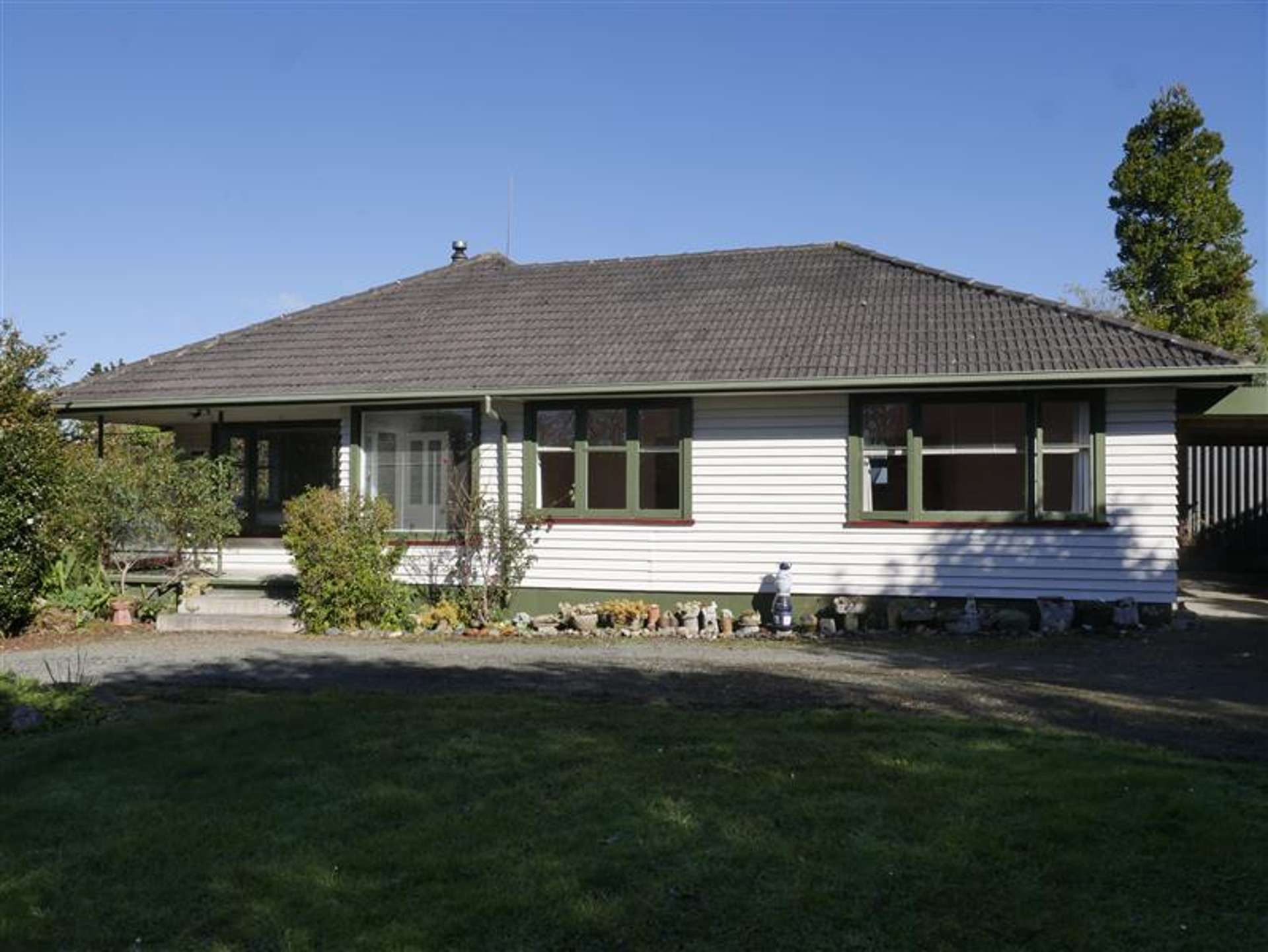
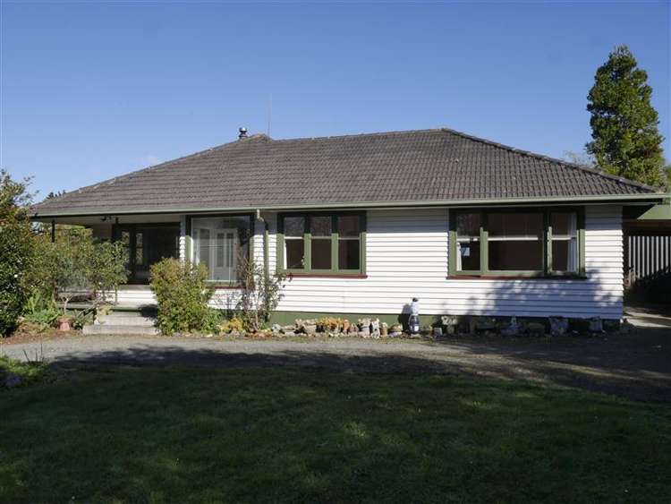
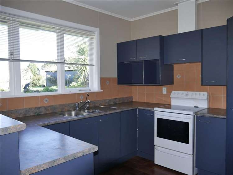
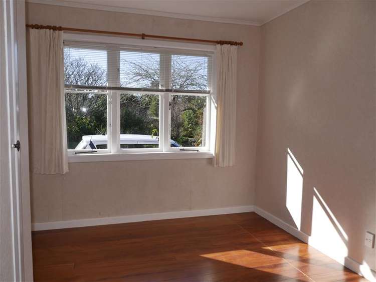
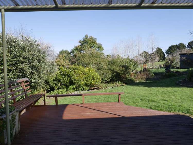
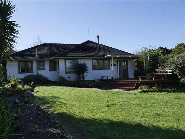
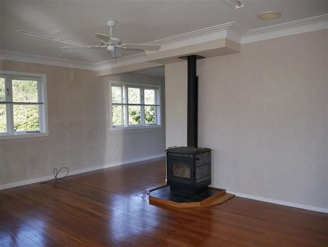
Are you looking to live rurally and escape the hustle and bustle of city living? This lovely 1950's weatherboard cottage is located on quiet road with great neighbors. The house gets all day sun and would be perfect for a family or couple.
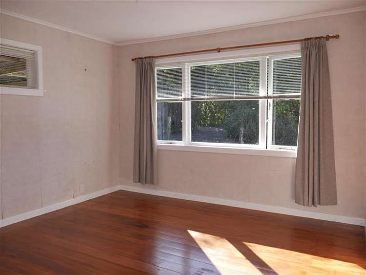
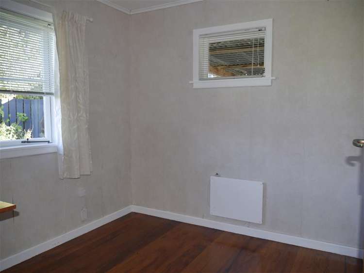
* Two double bedrooms and 1 single bedroom all with wardrobes
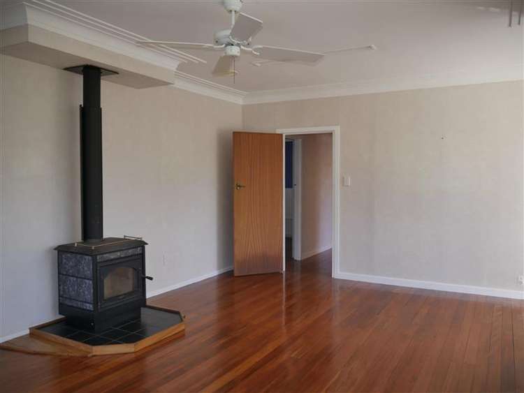
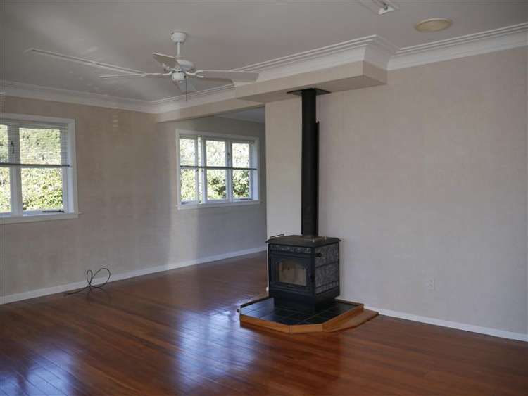
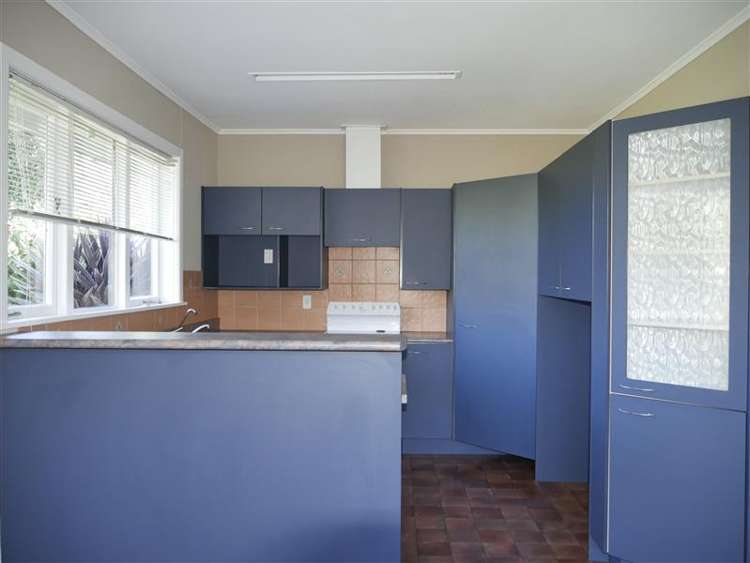
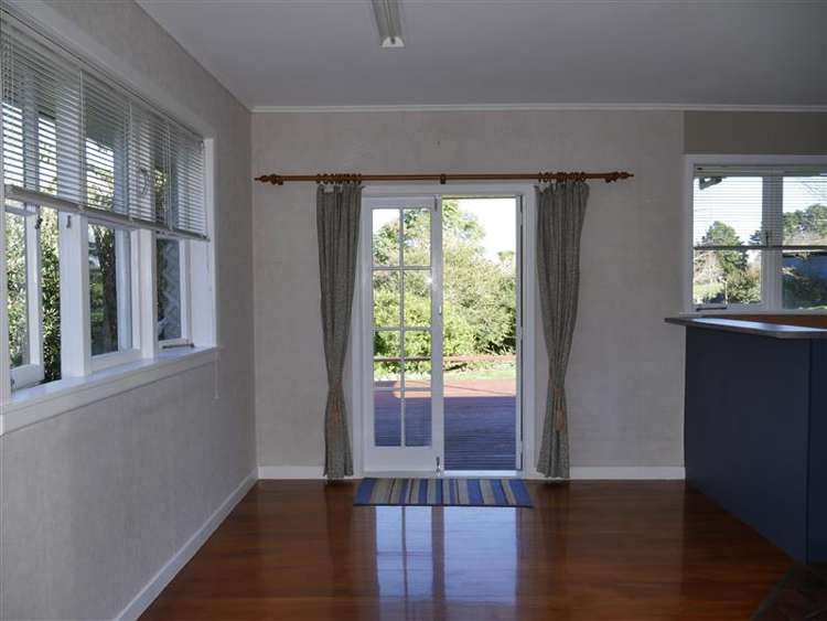
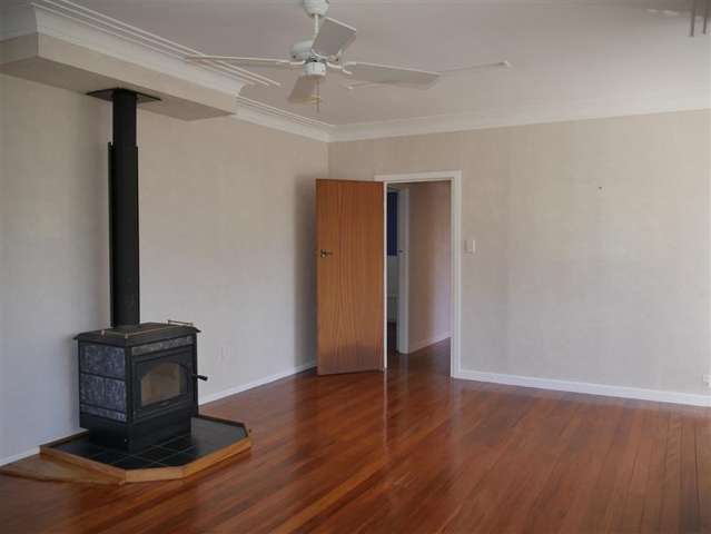
* Large open plan living area
* Wood burner
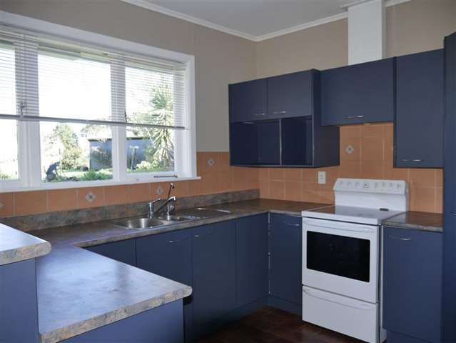
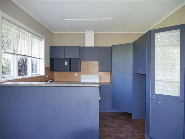
* Modern kitchen with dishwasher
* Separate laundry
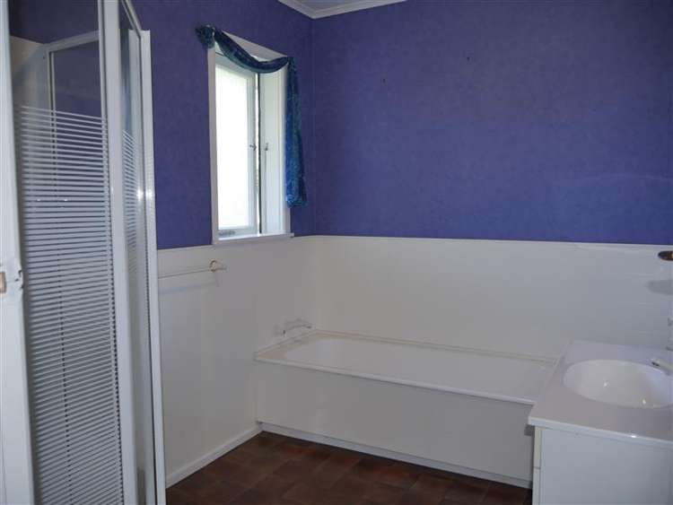
* Bathroom with shower, bath and separate toilet
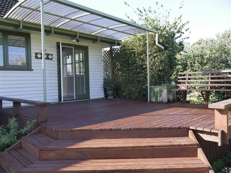
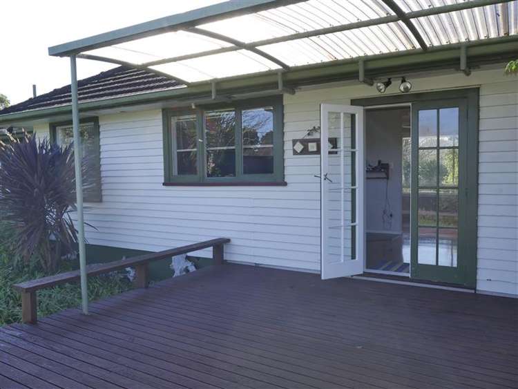
* Front and back decks
* Single Carport and Single Garage
* Off street parking
* Tenants to maintain lawns and gardens
* $5pw inc in rent for the power to run water pump
If you are looking for a well presented house and would like to live out of town please ensure that you come and view this property as it wont be on the market for long.
INITIAL MOVE IN COSTS: BOND: $2,320.00 + TWO WEEKS RENT: $1,160.00 = TOTAL: $3,480.00 + PET BOND $1,160.00 (If Applicable)
Beware of Rental Scams
There has been a rise in rental scams involving fake property listings recently, especially on social media platforms. To keep yourself safe, please note that all legitimate communication from Harcourts Just Rentals will only come from a verified @harcourts.co.nz email address.
If you're contacted through other channels or social media accounts, it could be a scam. Always double-check the authenticity of listings and be cautious of emails or messages that do not come from @harcourts.co.nz.
If you have any doubts or concerns, please contact your Harcourts Just Rentals property manager directly.