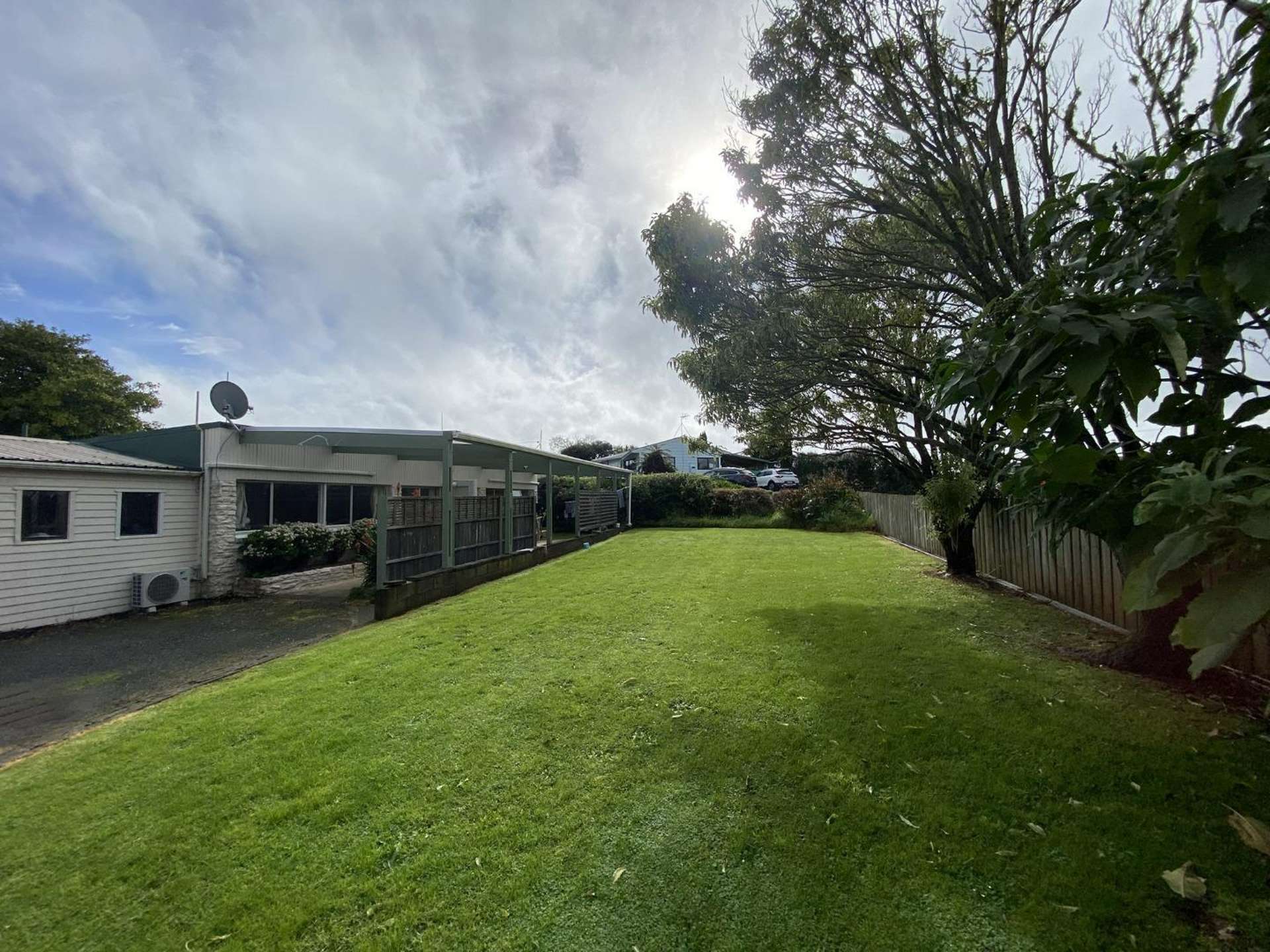
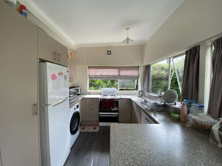
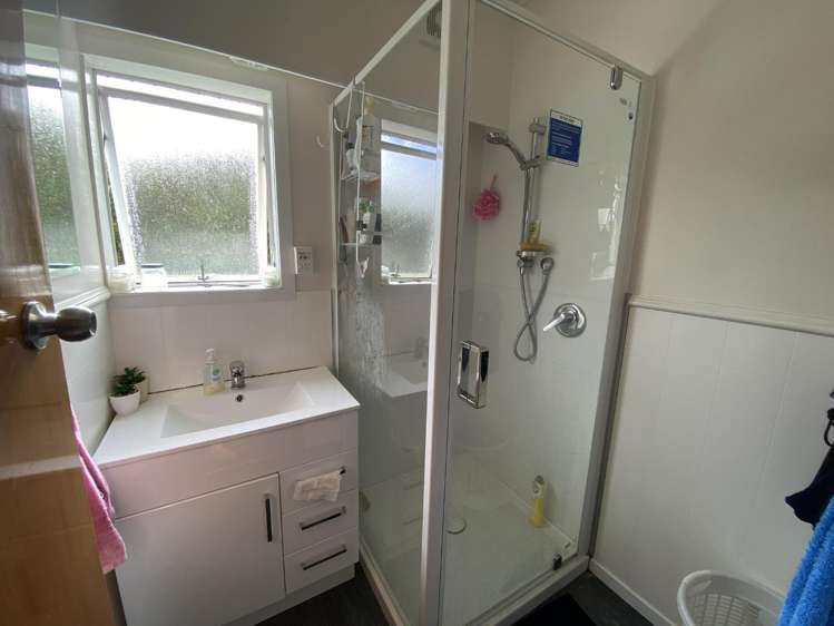
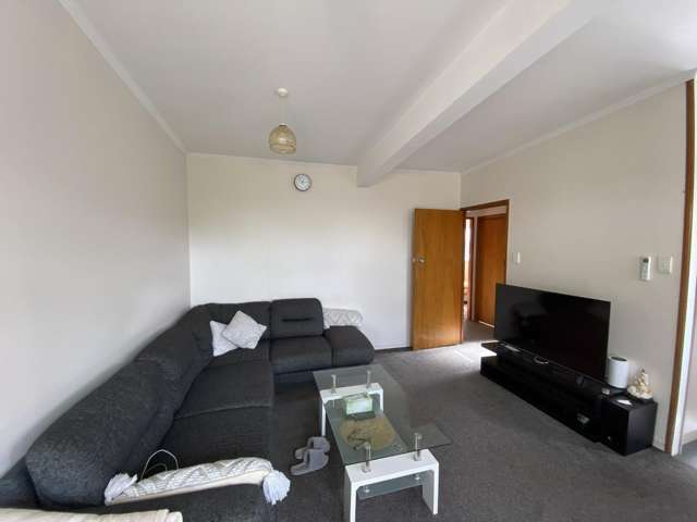
- 1/431a Kamo Road


+6
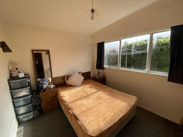
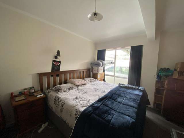
Pictures6
Map
Data
About the area

, Whangārei
Kamo is a suburb which lies within the Territorial Authority of Whangarei, one of 52 residential suburbs which form the wider region. Kamo is the largest suburb of Whangarei in terms of the total number of residential housing stock.
Kamo provides a range of housing stock, with the earliest residential housing recorded in the area constructed between 1880 - 1889. The majority of the residential housing stock in the locality was constructed between 1960 - 1969.
Residential housing stock in Kamo is made up of approximately 89% residential housing , 2% residential investment housing and 10% lifestyle properties.
Learn moreADVERTISEMENT