- Address withheld
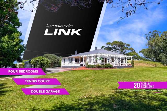
Address withheld, 1237, Whanganui

Westmere, Whanganui
Westmere is a suburb which lies within the Territorial Authority of Wanganui, one of 28 residential suburbs which form the wider region. Westmere is the 11st largest suburb of Wanganui in terms of the total number of residential housing stock.
Westmere provides a range of housing stock, with the earliest residential housing recorded in the area constructed between 1880 - 1889. The majority of the residential housing stock in the locality was constructed between 2000 - 2009.
Residential housing stock in Westmere is made up of approximately 40% residential housing and 59% lifestyle properties.
Learn moreADVERTISEMENT