- 1539 State Highway 50


+10


Pictures10
Map
Data
About the area
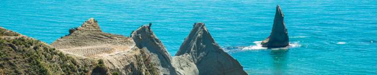
Ongaonga, Central Hawke's Bay
Ongaonga is a suburb which lies within the Territorial Authority of Hawkes Bay, one of 13 residential suburbs which form the wider region. Ongaonga is the 8th largest suburb of Hawkes Bay in terms of the total number of residential housing stock.
Ongaonga provides a range of housing stock, with the earliest residential housing recorded in the area constructed between 1900 - 1909. The majority of the residential housing stock in the locality was constructed between 1910 - 1919.
Residential housing stock in Ongaonga is made up of approximately 58% residential housing and 42% lifestyle properties.
Learn moreADVERTISEMENT