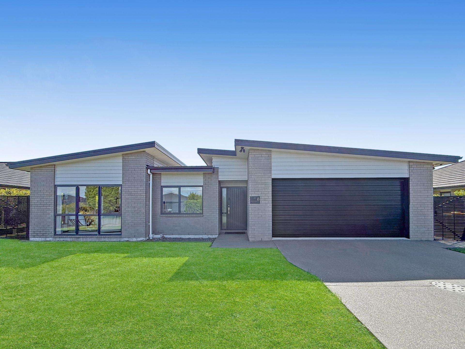
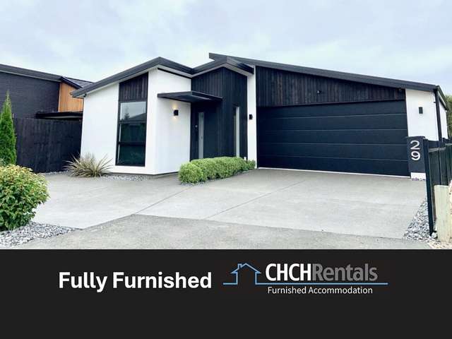
This lovely, spacious family home is situated in the sought after Wigram subdivision. This property is located close to The Landing in Wigram, with a New World supermarket, a recently refurbished Flex Fitness, the Silky Otter cinema and a selection of bustling restaurants and cafes. Zoned for Wigram Primary School, Adianfield Christian School and Middleton Grange School.
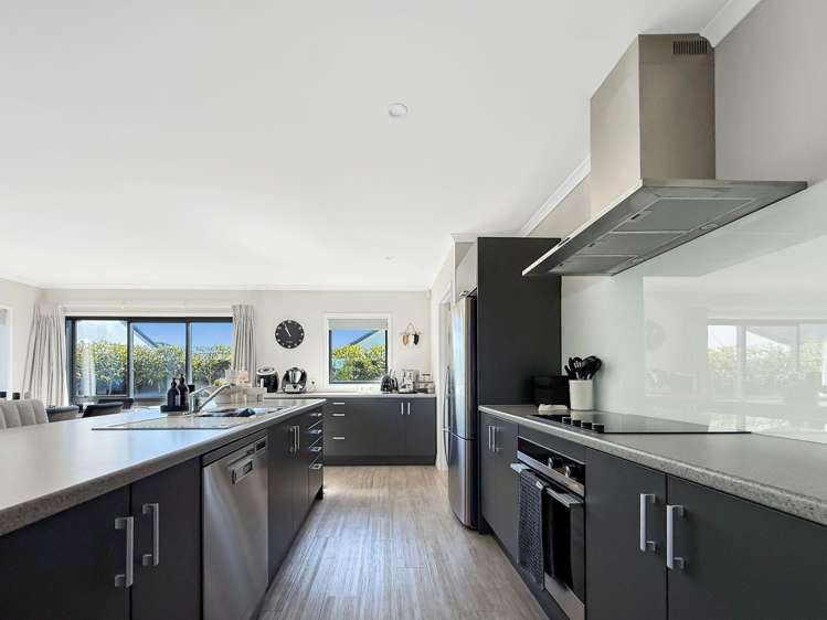
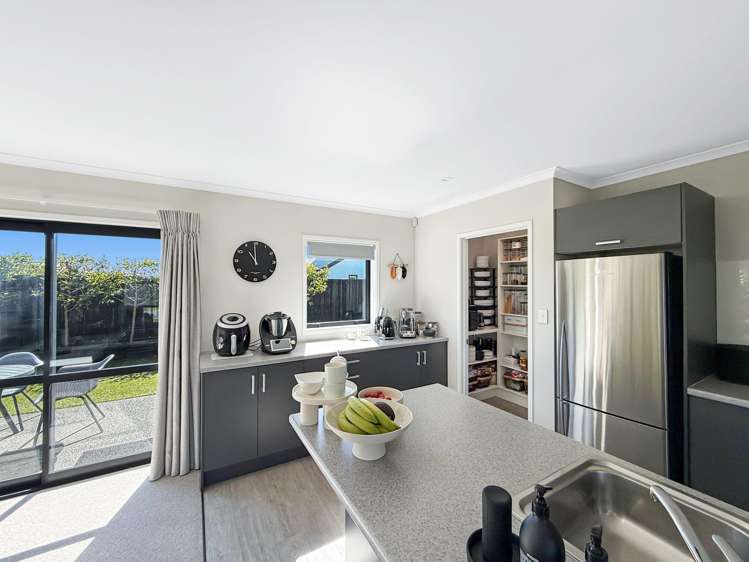
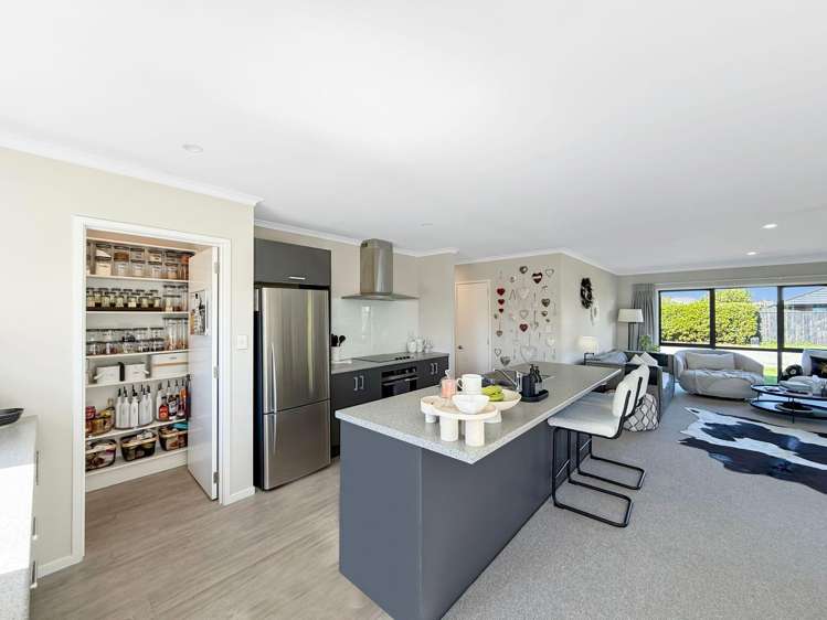
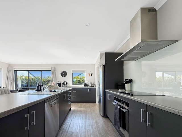
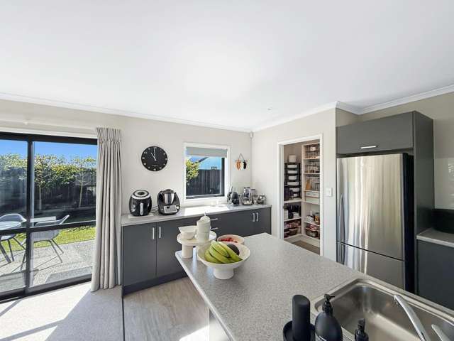
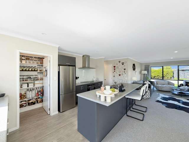
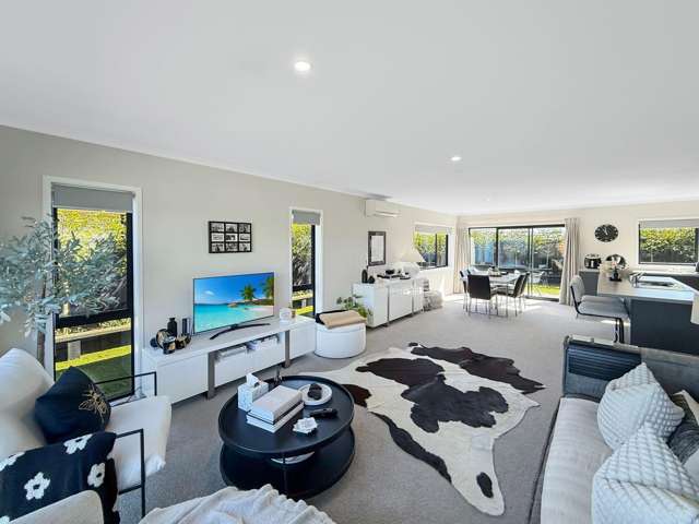
* Kitchen: Open plan with plenty of storage and bench space, featuring a walk-in pantry, and modern appliances
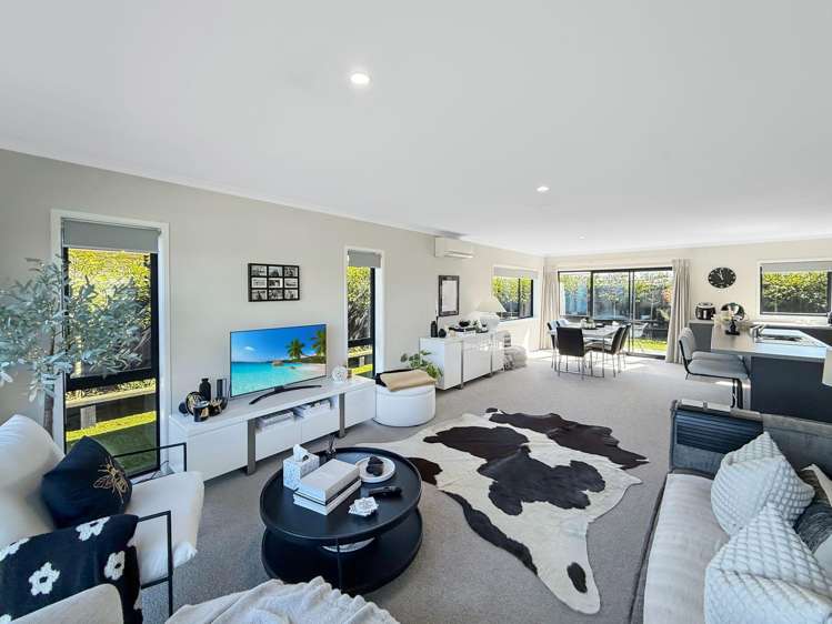
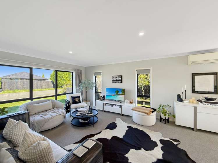
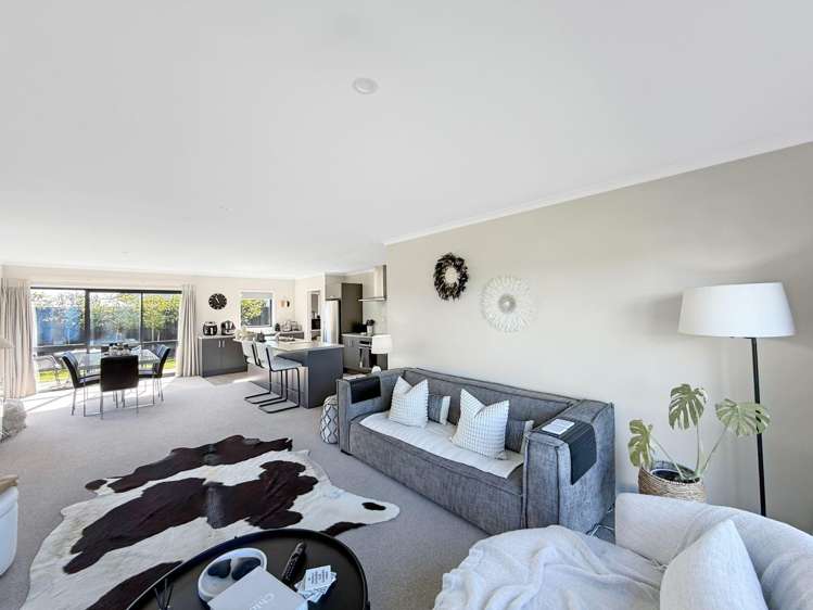
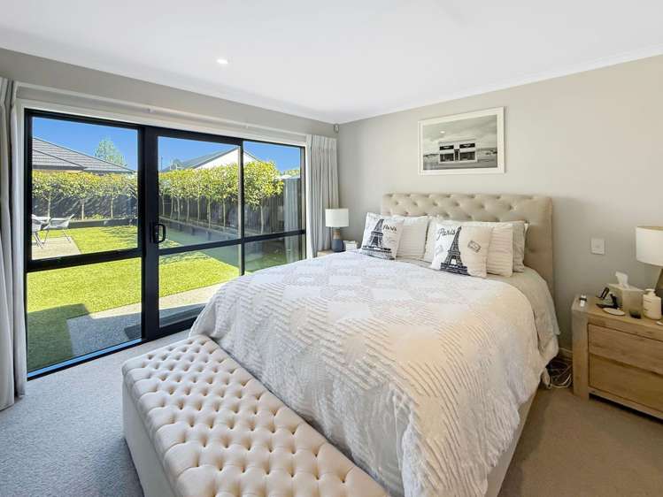
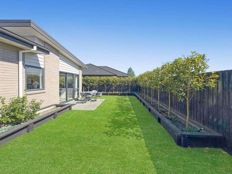
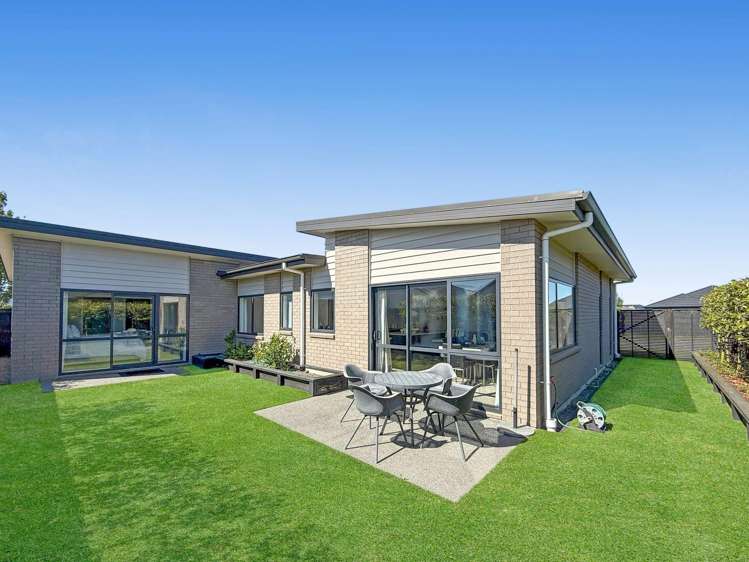
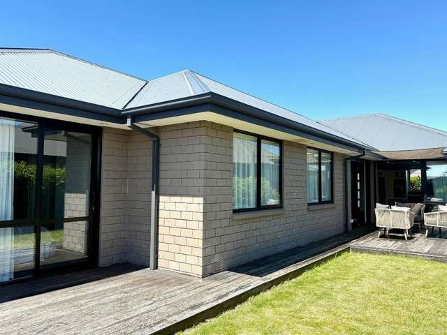
* Living and dining: Open plan living and dining area, that opens out to an easy-care backyard, great for entertaining
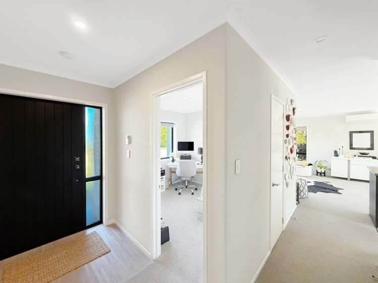
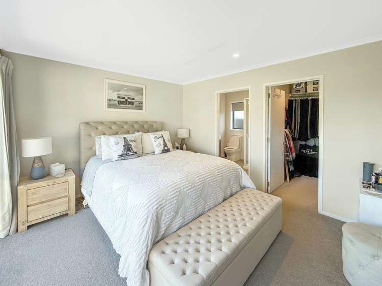
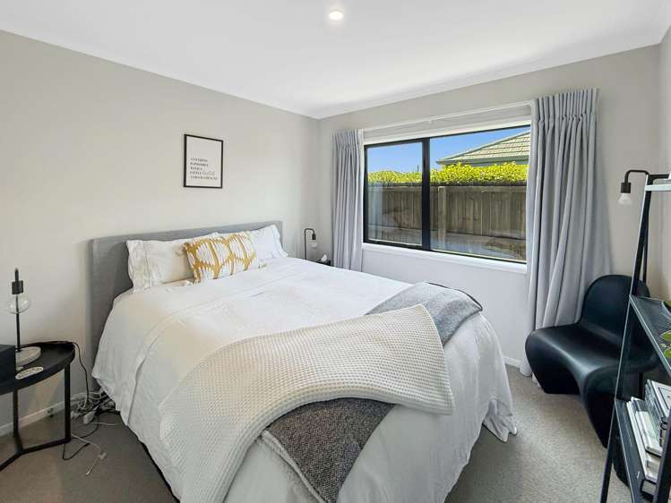
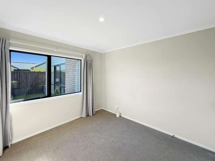
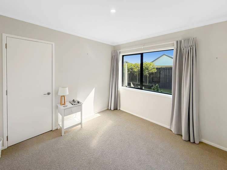
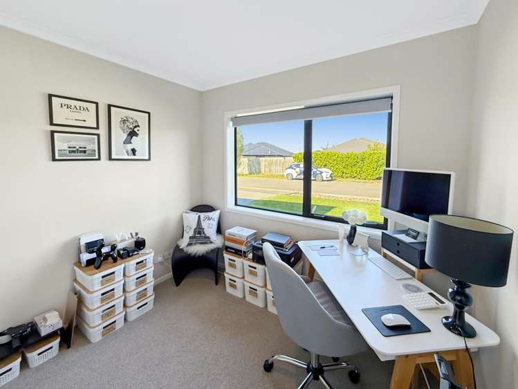
* Bedrooms: Three double bedrooms, all with wardrobes and the master featuring a walk in wardrobe and ensuite. One single bedroom or office space, located at the entry
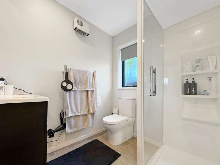
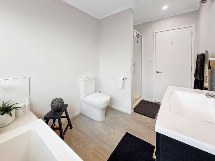
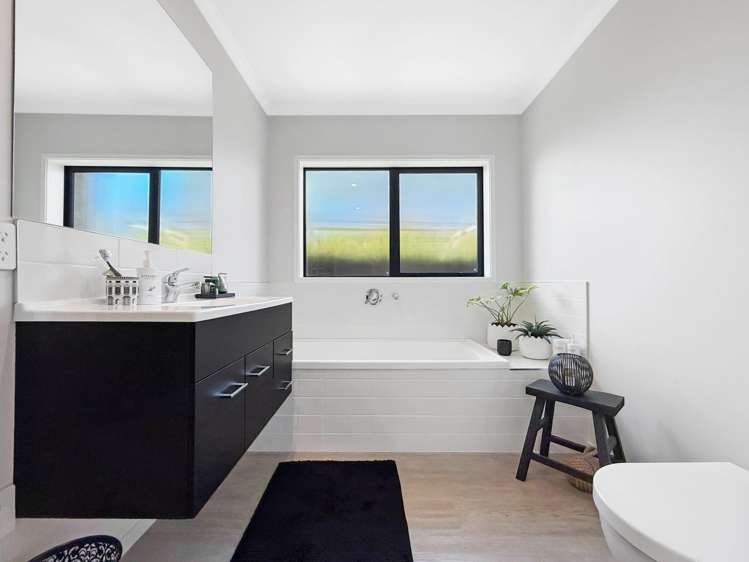
* Bathrooms: The master features an ensuite with shower and the family bathroom complete with a shower, bath and toilet
* Heating: This property is double glazed throughout and provides a heatpump located in the living space
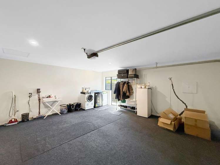
* Laundry: The laundry space is located in the garage
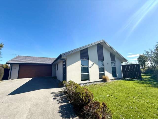
* Garage: Large double internal access garage
* Security: Fully alarmed
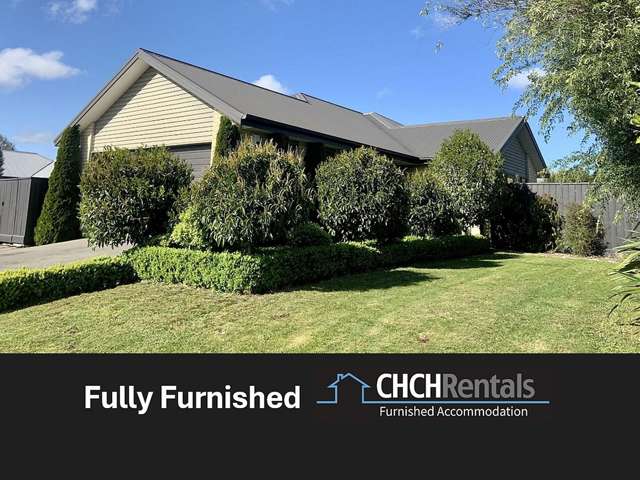
* Section: Easy care, fully fenced section with astroturf at the back of the property, and lawn at the front
* Available: 28 November 2026
***To book a viewing on this property, please go to https://bookme.tpsportal.co.nz/6934339***
If you do not register, the viewing may not be confirmed. By registering you will be automatically advised of all available viewing times
Phone Jess Carter on 021 192 6644 or Nicole Easterbrook 021 922 195 for further information.
Payments required to rent will be 2 weeks rent plus 4 weeks bond.
Office hours are Monday - Friday 8.30am-3:00pm.