Viewings: To book into a scheduled viewing time, or to be contacted for future viewing times please copy the below link: https://bookme.tenant.co.nz/6928171
Application: To apply for this property please copy the following link into your browser: https://apply.tenant.co.nz/6928171
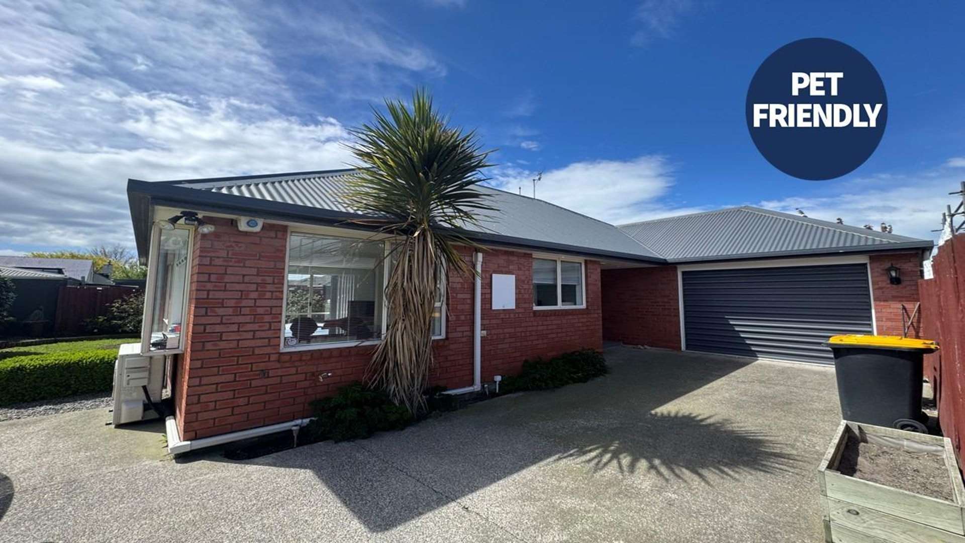
Low-Maintenance Comfort in a Prime Location
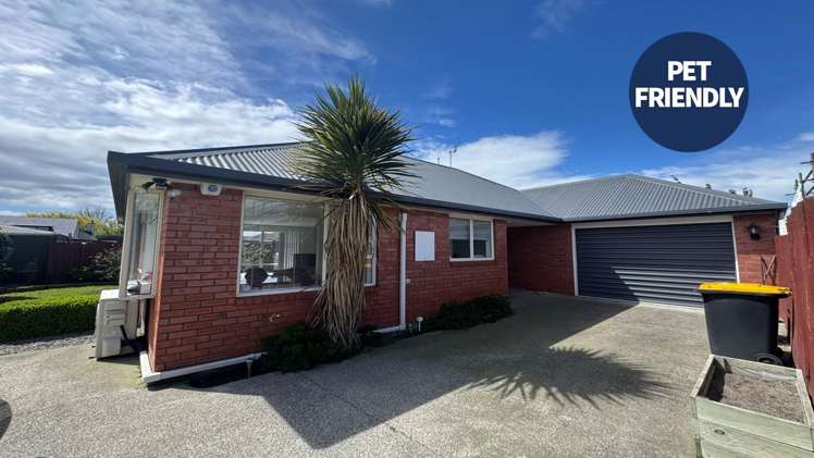
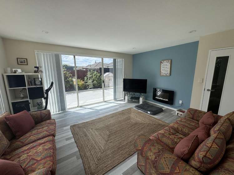
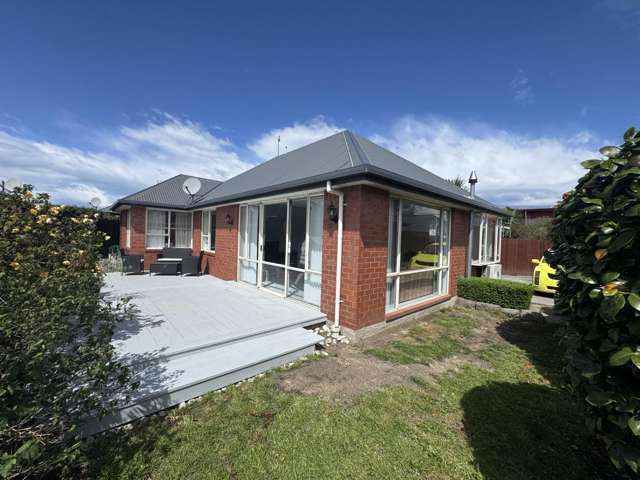
Tucked away at the end of a private driveway, this well-presented home offers privacy, comfort, and low-maintenance living. Conveniently located just minutes from Northlands Mall and Northlink Shopping Centre, you'll enjoy easy access to retail, dining, and public transport, all while coming home to a peaceful and private setting.
Available for lease from 20th September 2026
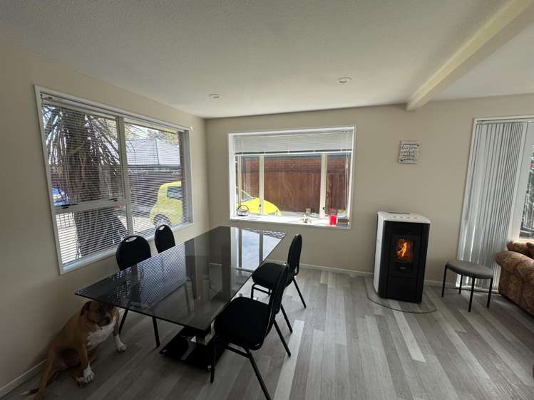
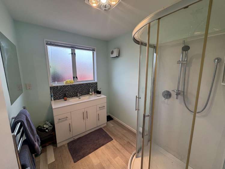
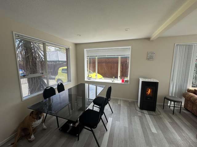
Featuring an array of features throughout, this home offers:
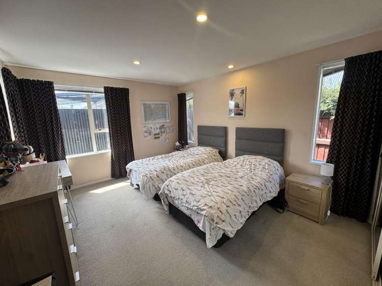
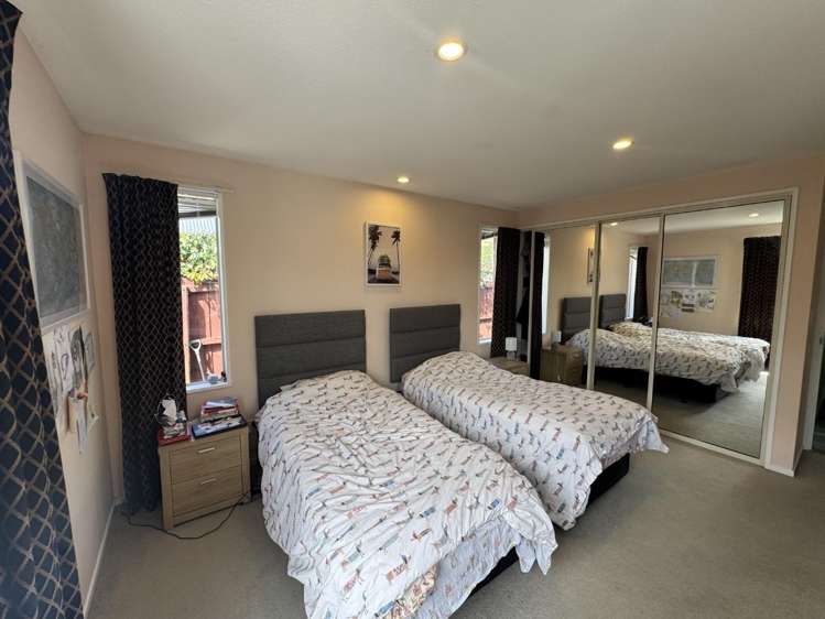
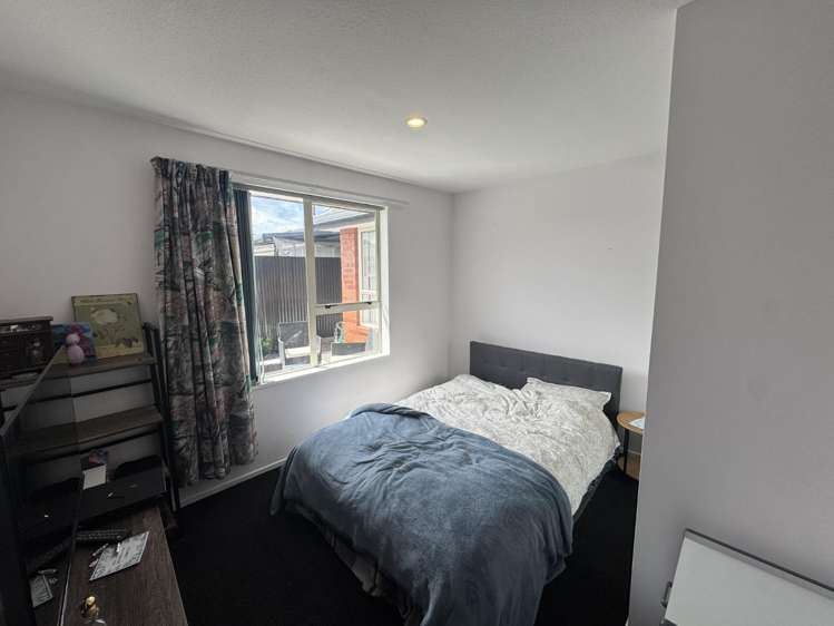
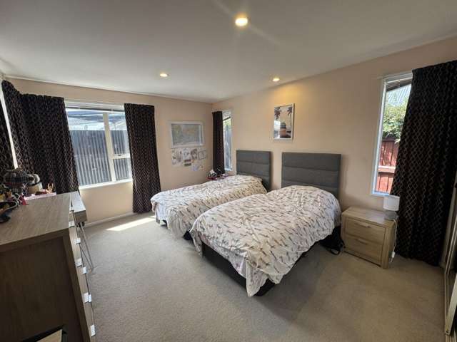
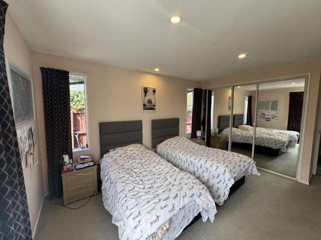
• Two generously sized double bedrooms, each with built-in wardrobes for ample storage;
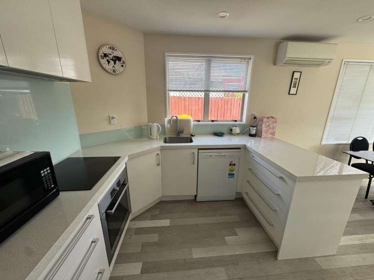
• Renovated kitchen with modern appliances and a functional layout;
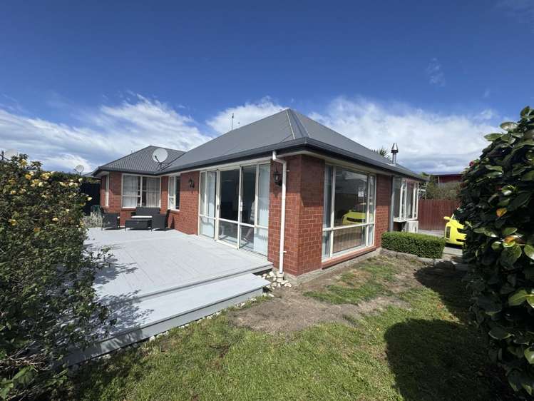
• Sunny, low-maintenance yard with a north-facing deck - perfect for relaxing or entertaining;
• Compact and easy-care section, ideal for those with busy lifestyles;
• Positioned at the rear of a private driveway, offering peace and seclusion;
• Internal access single garage, plus one additional off-street car park;
• Great location close to shopping centres, public transport, parks, and local amenities;
• Pets negotiable upon application.
For more information or to book a viewing please call Tamara Mark on 021 226 1634
This property is proudly managed by Gold Property Management.