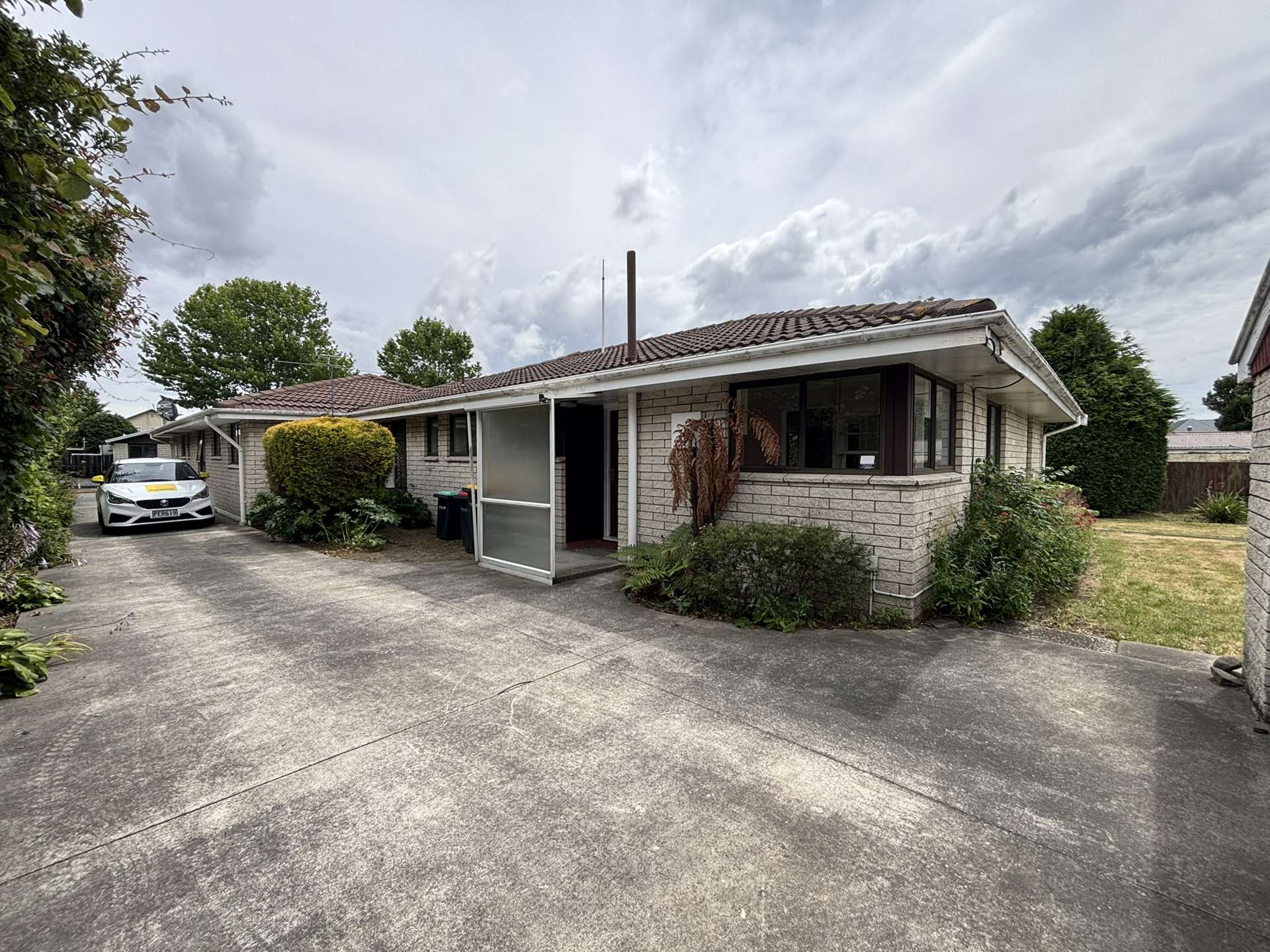
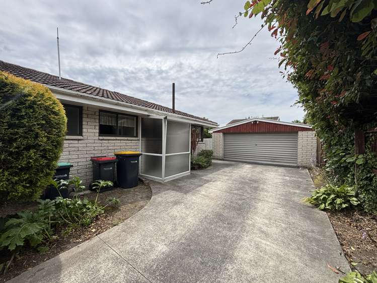
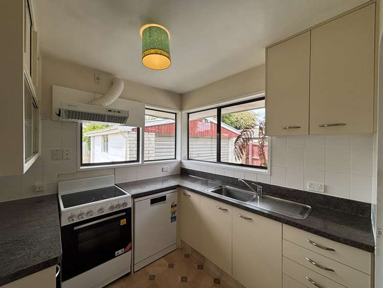
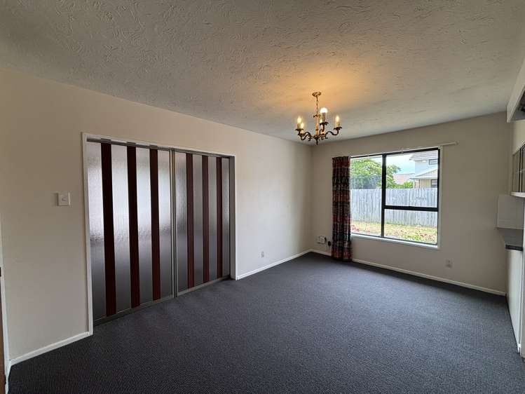
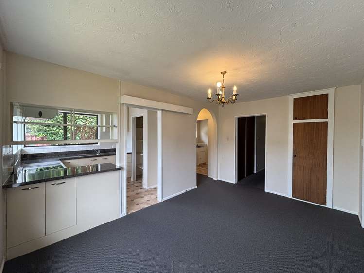
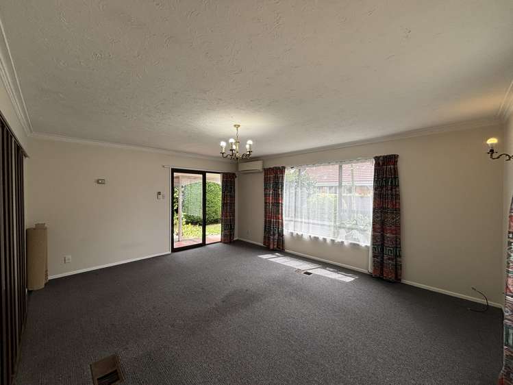
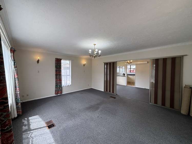
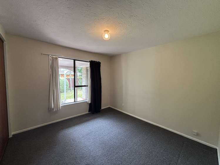
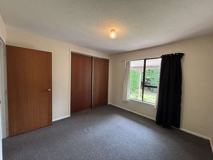
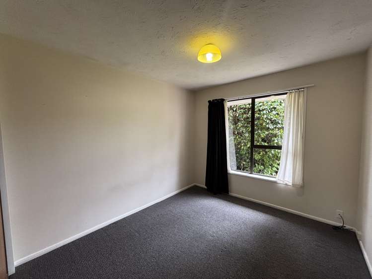
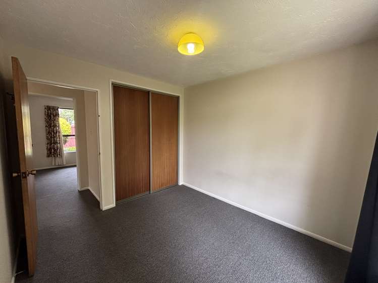
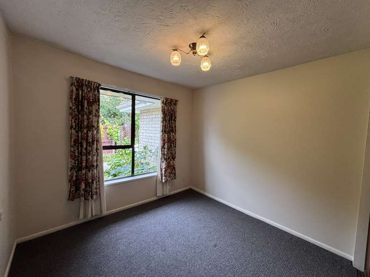
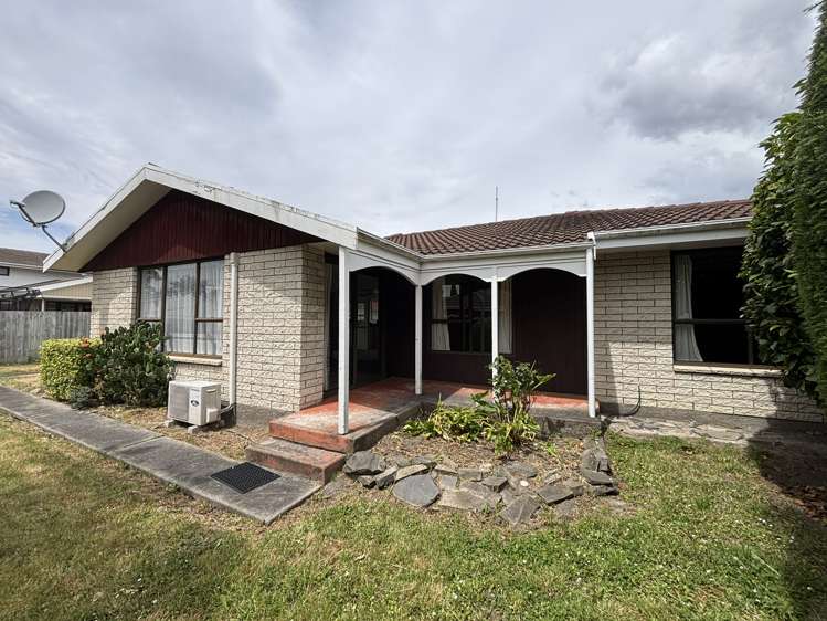
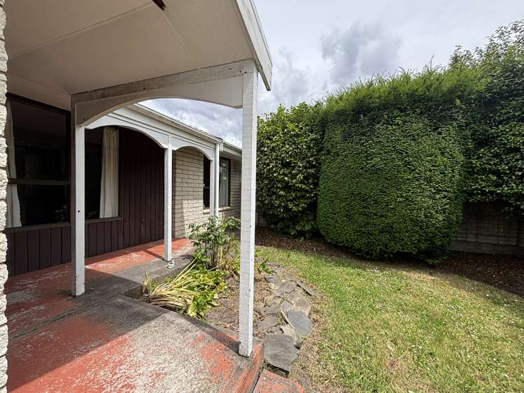
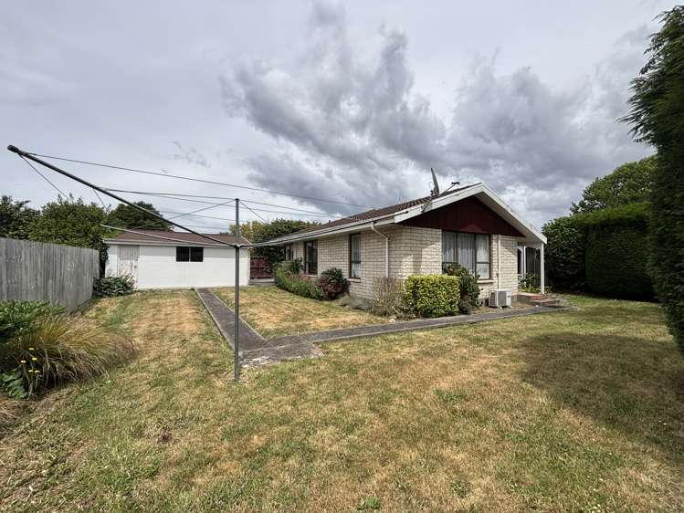
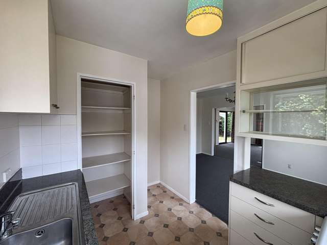
- 24b Westmont Street


+20

Pictures20
Map
Data
About the area

Ilam, Christchurch City
Ilam is a suburb which lies within the Territorial Authority of Christchurch, one of 116 residential suburbs which form the wider region. Ilam is the 11st largest suburb of Christchurch in terms of the total number of residential housing stock.
Ilam provides a range of housing stock, with the earliest residential housing recorded in the area constructed between 1910 - 1919. The majority of the residential housing stock in the locality was constructed between 1960 - 1969.
Residential housing stock in Ilam is made up of approximately 99% residential housing and 1% residential investment housing properties.
Learn moreADVERTISEMENT