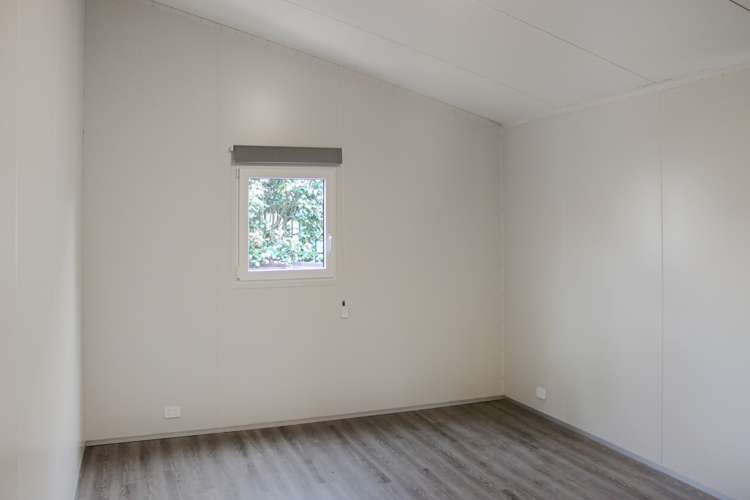
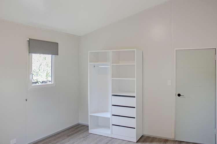
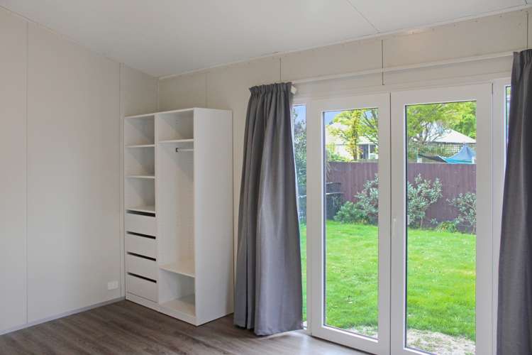
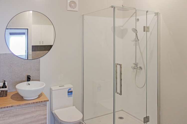
Rear Two Bedroom Home
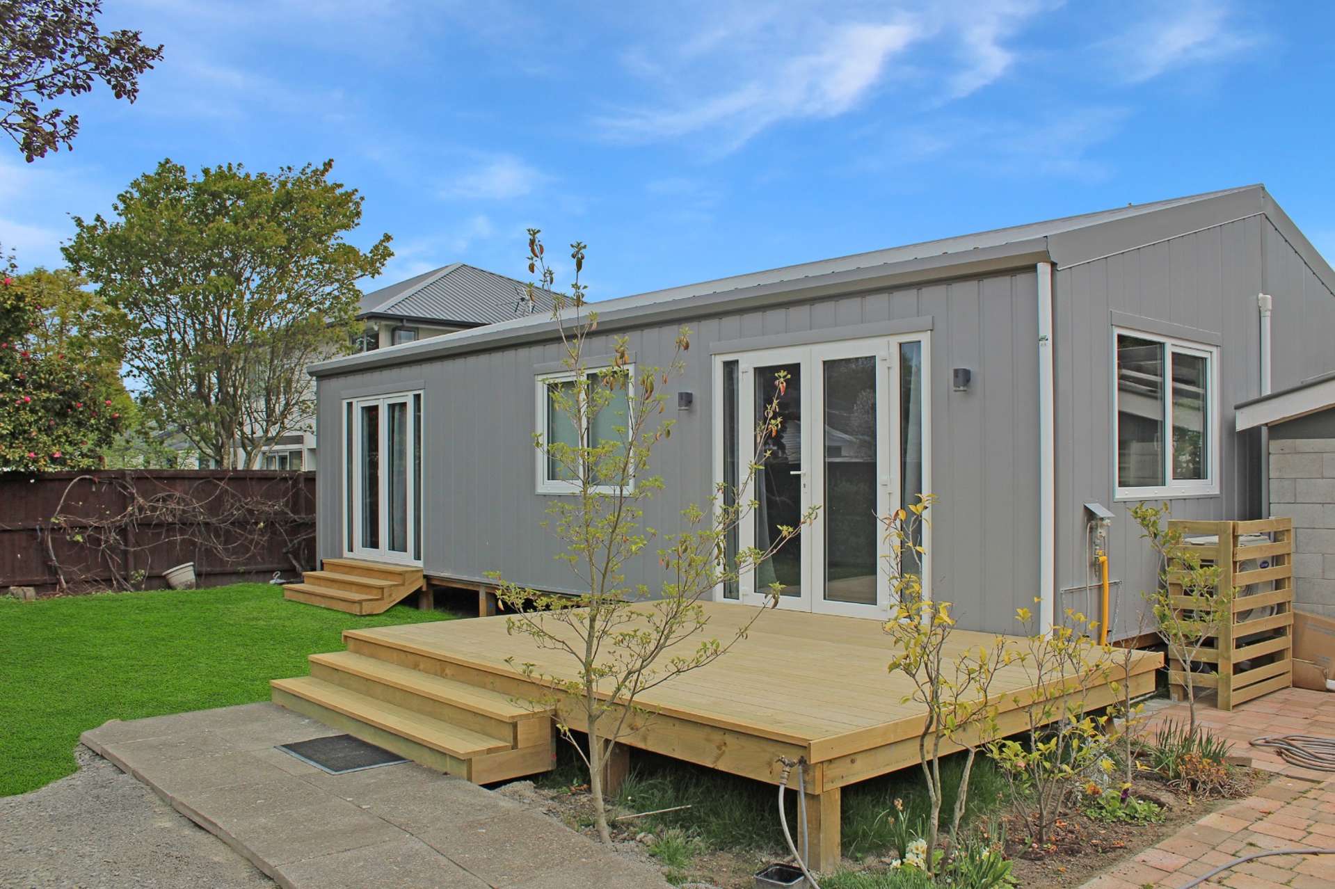
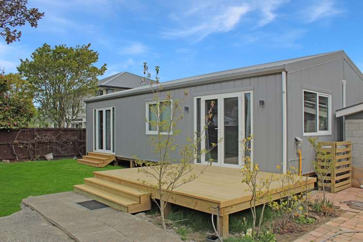
This well-presented two-bedroom home is tucked away on a private rear section in a fantastic location, offering comfort, convenience, and easy living. Positioned close to local shops, public transport, and a range of popular schools, this property is sure to appeal to those seeking a low maintenance home in a sought after area.
MAKE A TIME TO VIEW THIS PROPERTY PLEASE COPY AND PASTE THIS LINK https://bit.ly/4fmQoME
Property Features Include:
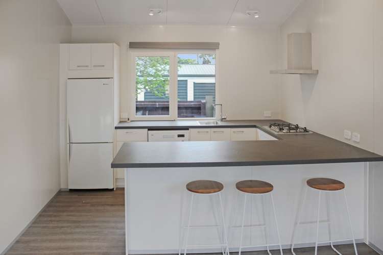
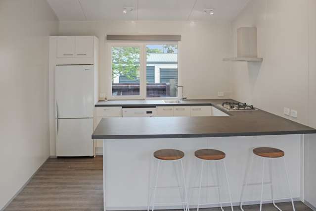
- Modern kitchen complete with dishwasher.
- Gas hot water
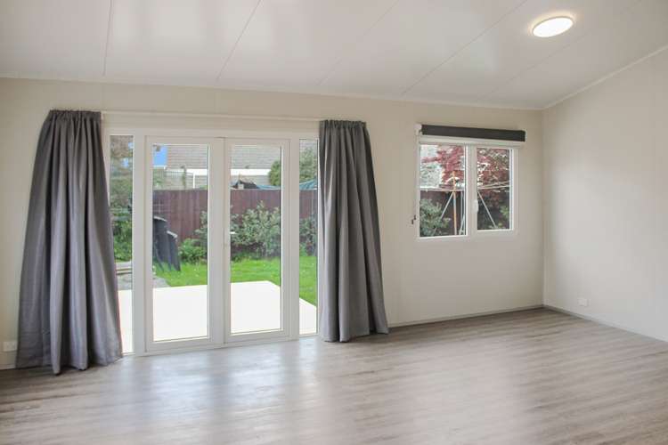
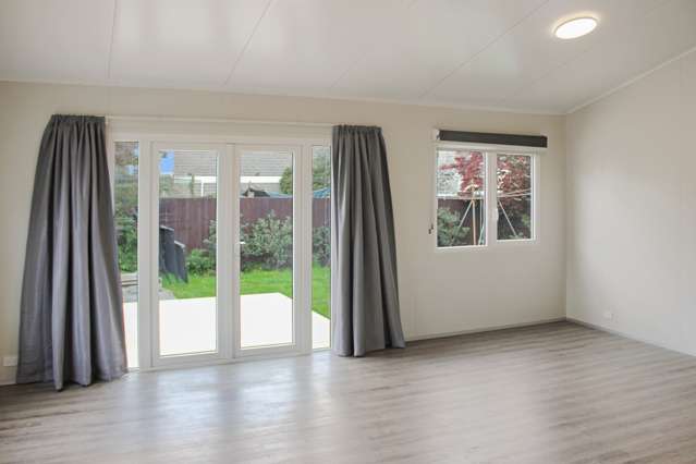
- Spacious living area
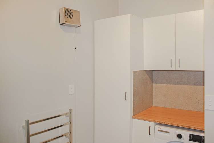
- Stylish bathroom and laundry, including washing machine
- Heat pump for year round comfort
- Insulated throughout
- Double glazed
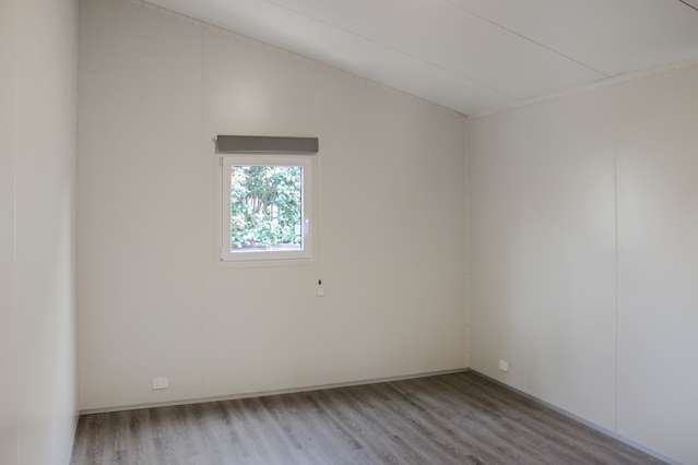
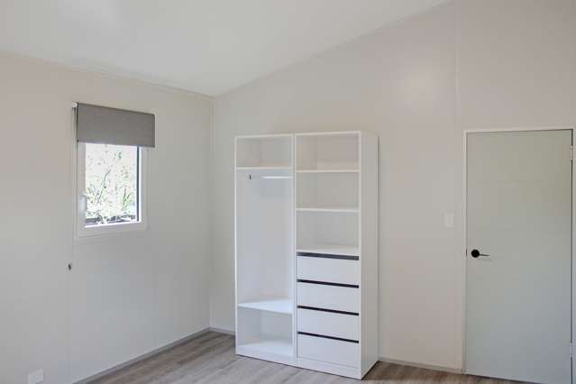
- Two double bedrooms
- Private backyard
- Large deck, perfect for relaxing or entertaining
- Off-street parking
Sorry, no smokers.
Located within the sought-after Westburn School and Burnside High School zones, this home enjoys excellent access to local amenities, parks, shopping, and public transport options.
Available from 1 August 2026
Please respect the privacy of the current tenants and view the property from the street only; do not enter the premises unless accompanied by the property manager during a scheduled viewing.
Disclaimer: While every effort has been made to ensure any School Zone information displayed is accurate, please check details directly with the school before making decisions based on this information.
*We have a variety of properties available, please visit our website at https://fnproperty.co.nz/properties-for-rent/ to view a full range of photos and information on each.