Available from 15 October 2026 | 4 Bedrooms | 2 Bathrooms | 4 Toilets | Double Garage
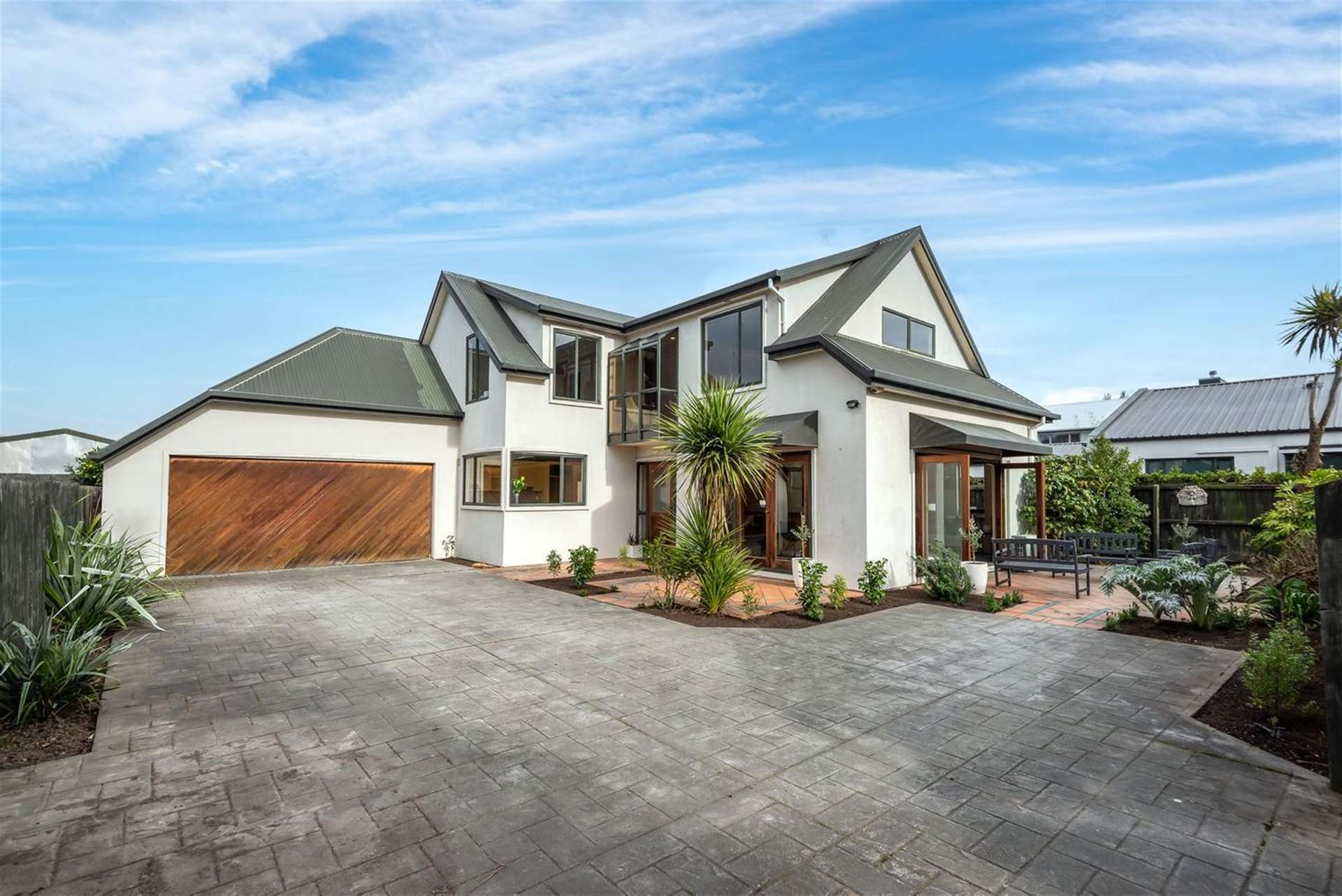
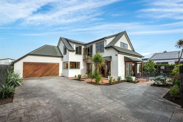
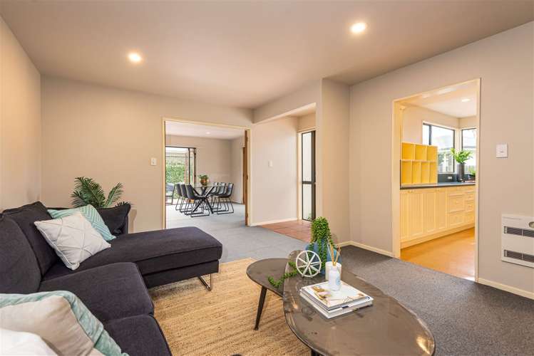
Situated in a sought-after location in Burnside, this large and spacious four-bedroom family home offers generous living spaces, excellent accommodation and a convenient location close to schools and amenities.
Located within easy reach of Avonhead, Burnside and Fendalton, you'll enjoy a short drive to local shops, cafés, services and other amenities. The property is also zoned for Burnside High School and within walking distance, making this an ideal location for families.
Warm, Modern & Fully Reclad
A full recladding programme is currently underway and will be completed before the new tenants move in.
The completed upgrades will include:
• Brand-new specialised lightweight concrete cladding
• Full wall insulation
• Brand-new fully double-glazed windows
• Improved thermal efficiency to help keep the home warm throughout the year
• Enhanced acoustic insulation for a quieter, more comfortable home
Downstairs features:
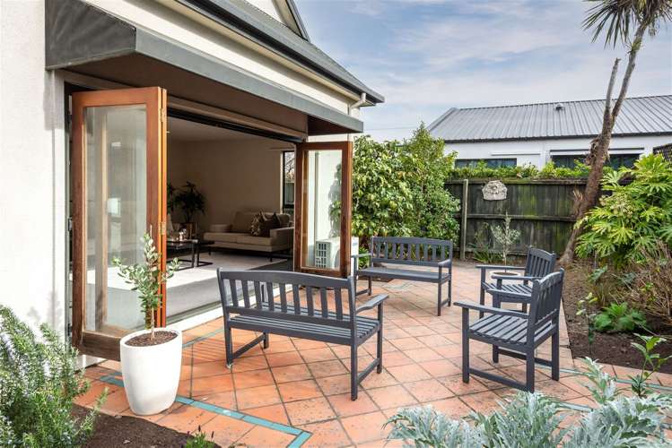
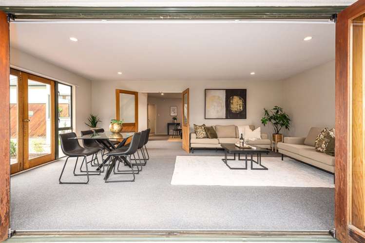
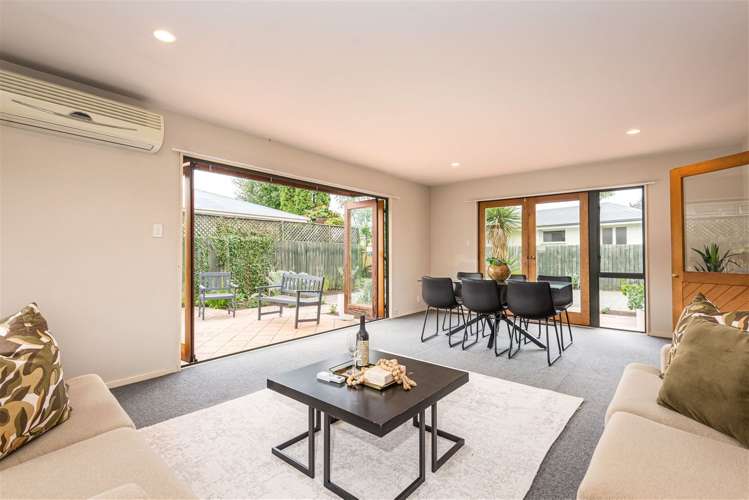
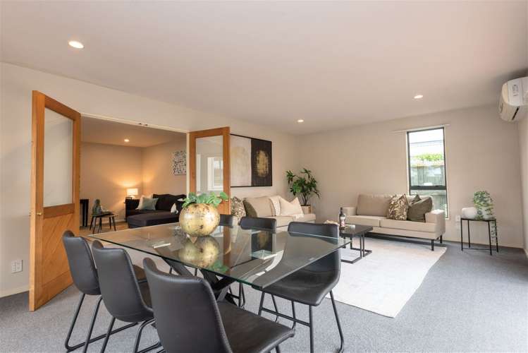
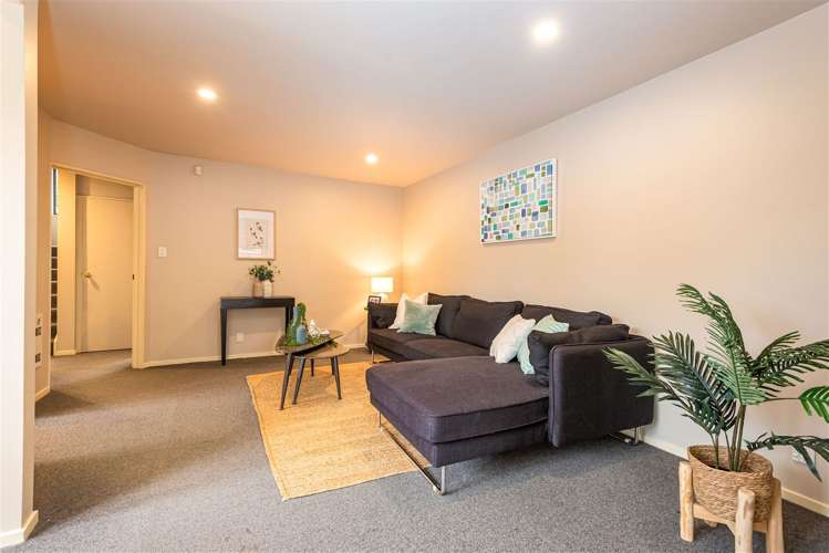
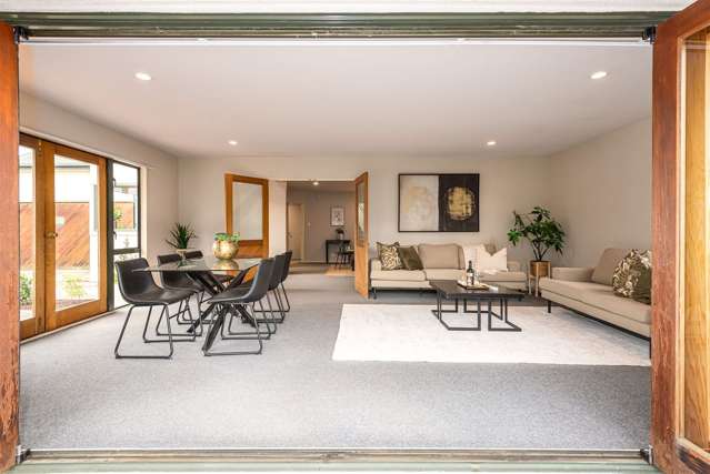
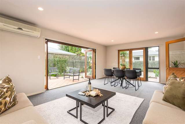
• Two generous living areas, providing plenty of space
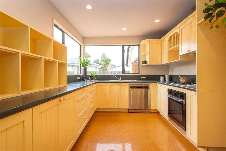
• Well-appointed kitchen with ample storage
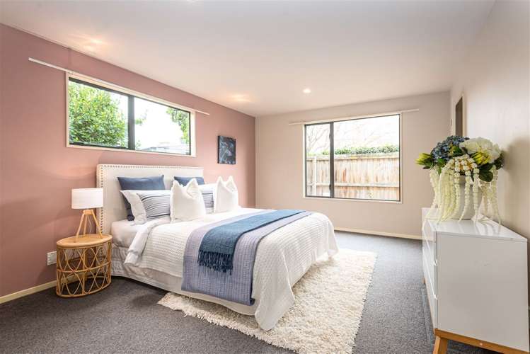
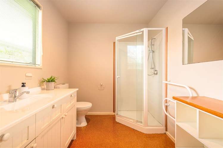
• Spacious master bedroom with ensuite and walk-in wardrobe
• Separate laundry
• Separate toilet
• Double internal-access garage, with a new garage door to be installed
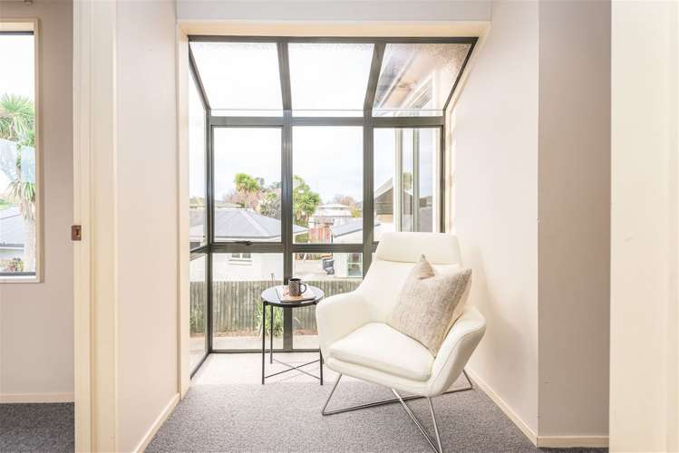
Upstairs offers:
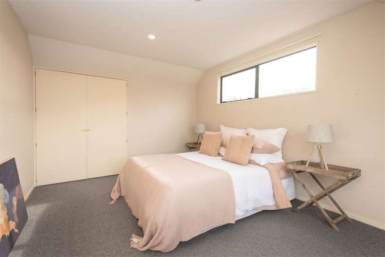
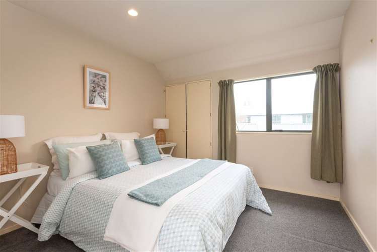
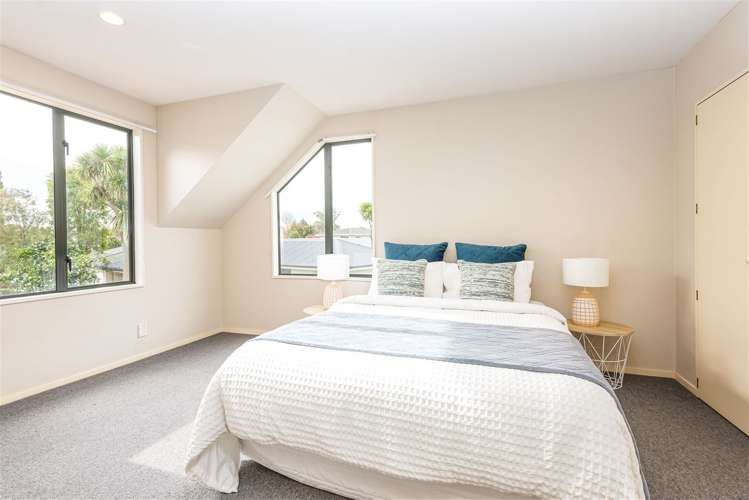
• Three spacious bedrooms, each with built-in wardrobes
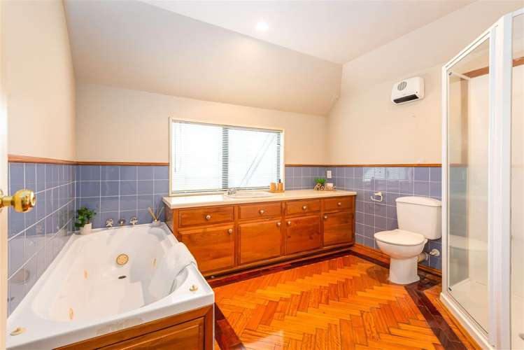
• Large family bathroom with both a shower and a bath
• Additional separate toilet
With two bathrooms and a total of four toilets, the home provides excellent functionality for busy family living, professionals or friend's sharing.
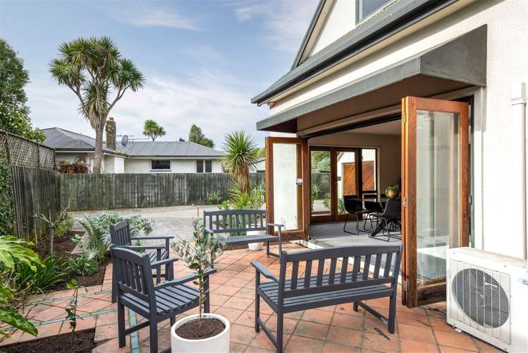
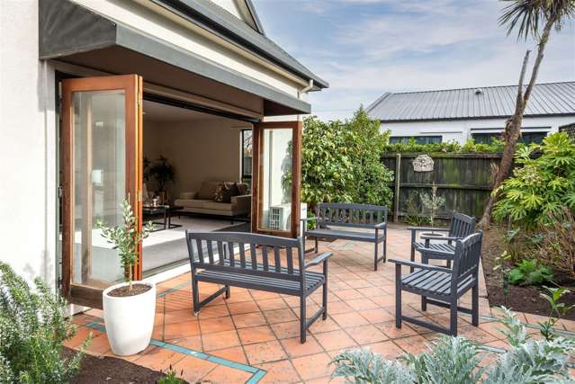
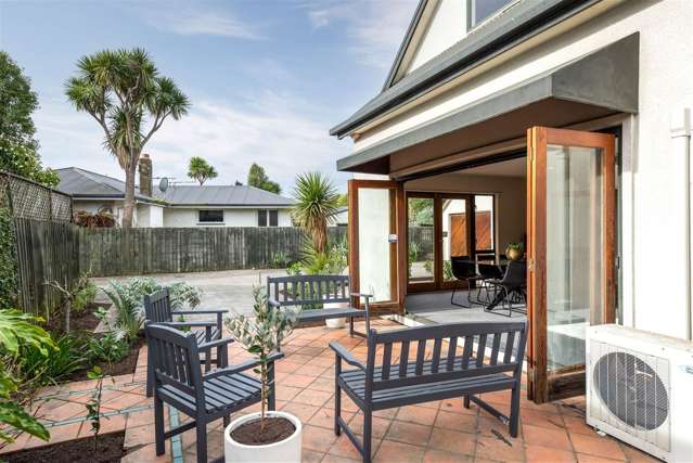
Outside, the property enjoys a private, sunny rear section, providing a lovely space to relax and entertain.
Move in costs include four weeks bond and one weeks rent.
To make a viewing time or to apply for the property:
https://apply.tpsportal.co.nz/tps2314