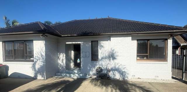
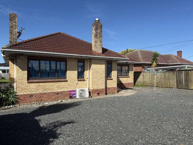
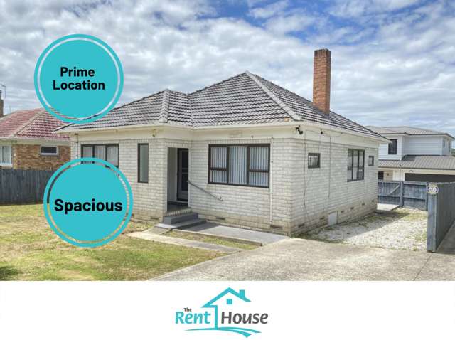
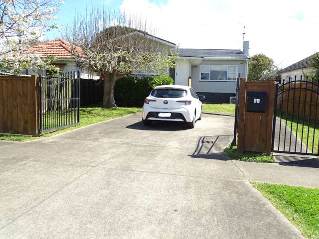
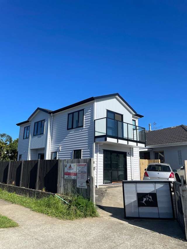
Welcome to 166B Hillside Road, Papatoetoe, a beautifully refreshed home offering comfort, convenience, and modern living in a sought-after location.
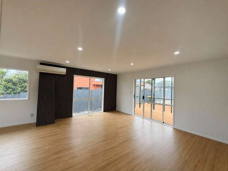
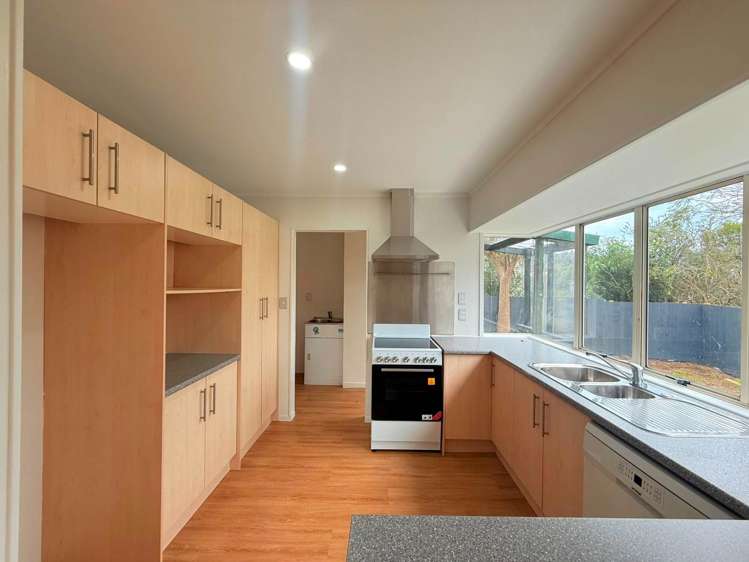
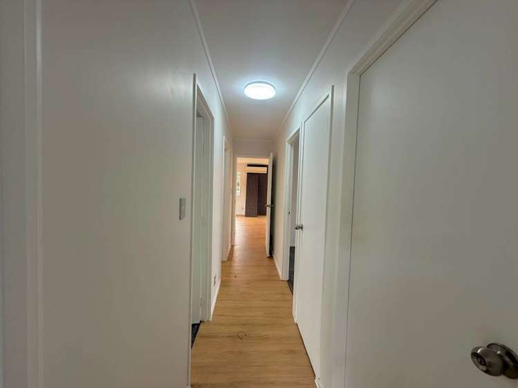
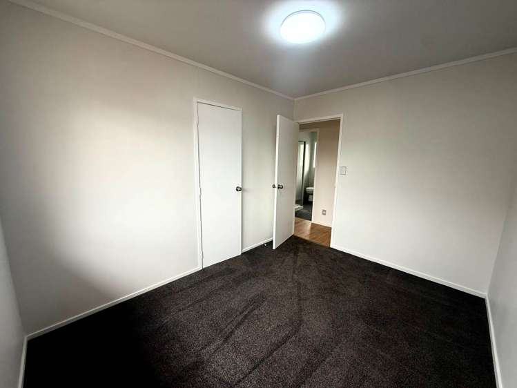
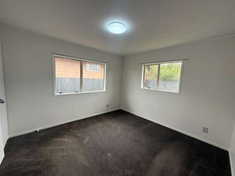
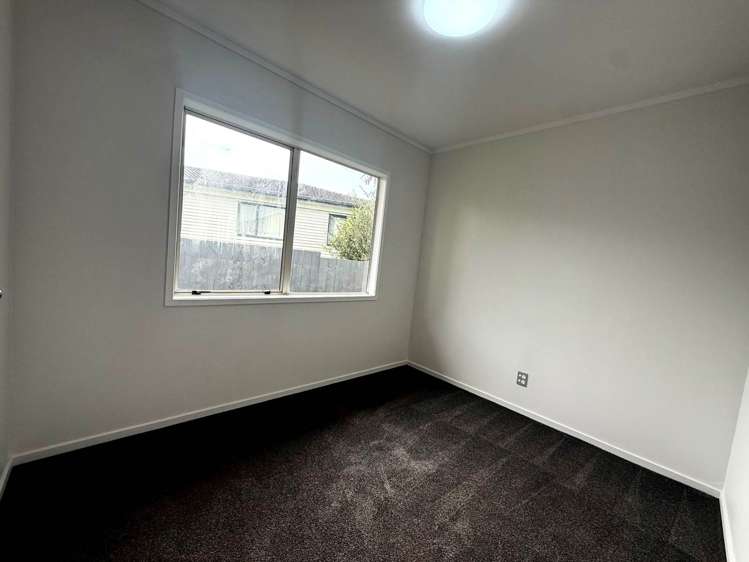
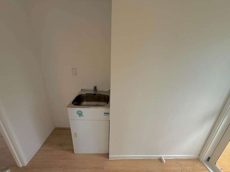
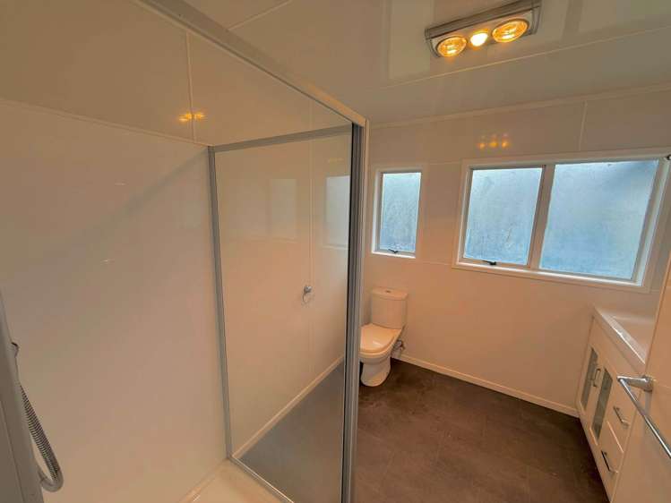
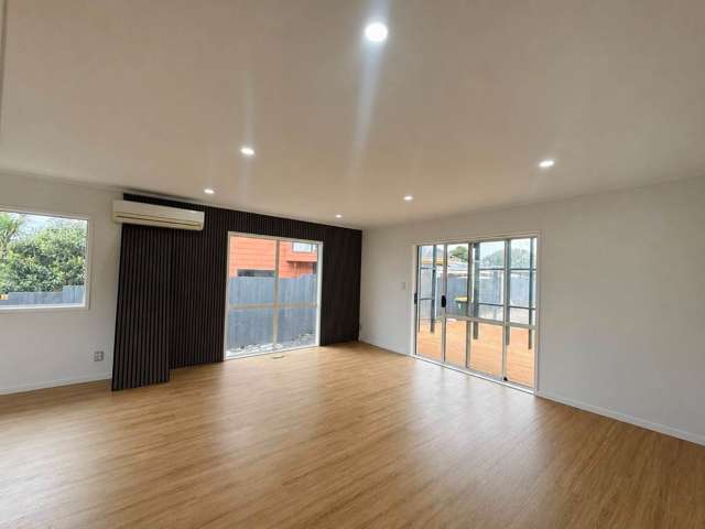
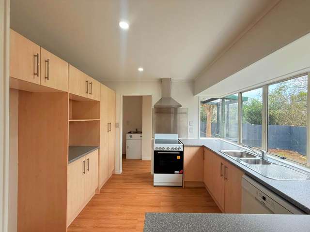
Freshly renovated throughout, this well-presented property features 3 spacious bedrooms, 1 Spacious bathroom, and generous living spaces designed for easy family living. The contemporary kitchen flows seamlessly into the dining and living area, creating a warm and inviting atmosphere.
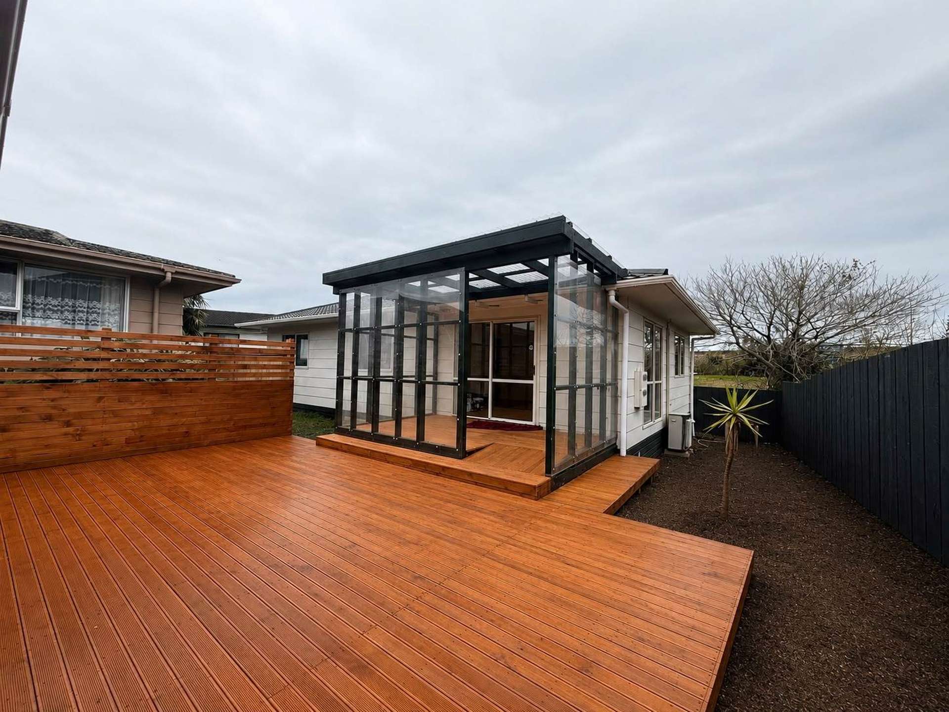
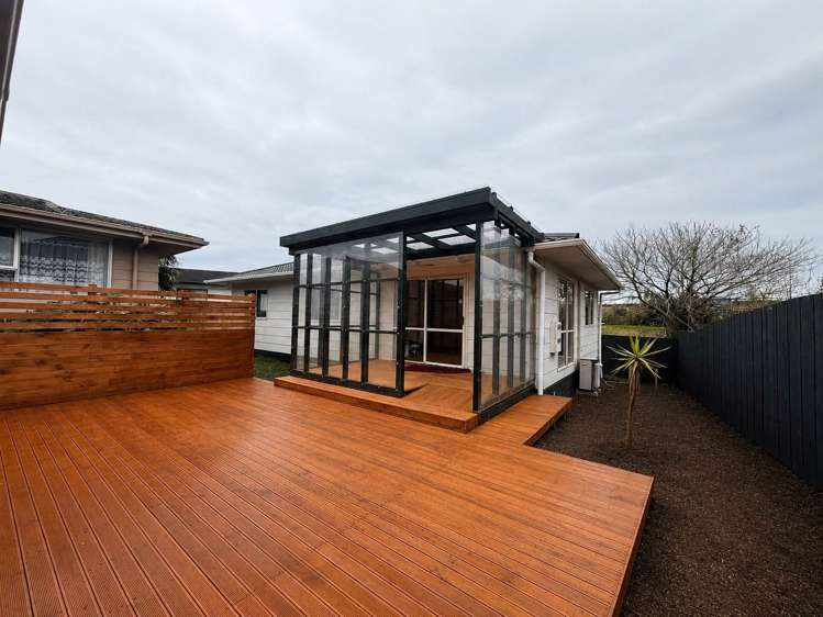
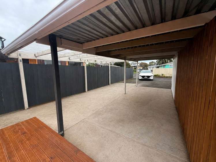
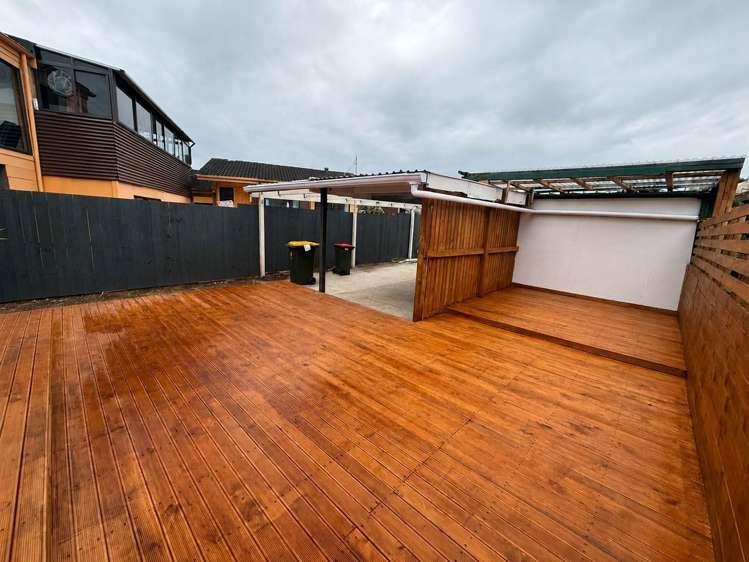
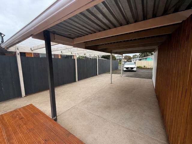
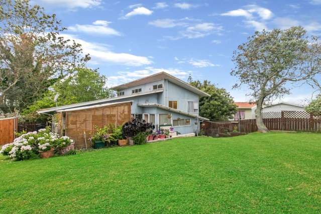
Step outside and enjoy the private outdoor area, perfect for relaxing or entertaining family and friends. With the bonus of off-street parking for up to 4 vehicles, there's plenty of room for the whole household.
Property Features:
Freshly renovated throughout
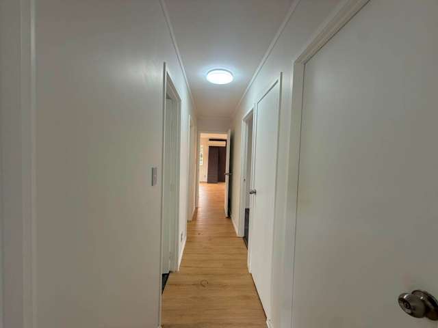
3 generous bedrooms
Good-sized bathroom
Spacious open-plan living and dining
Modern kitchen with quality appliances
Private outdoor entertaining area
Off-street parking for up to 4 vehicles
Healthy, bright, and low-maintenance home
Conveniently located close to schools, parks, public transport, local shops, Hunters Plaza, Middlemore Hospital, Auckland Airport, and motorway access, this home offers everything you need right at your doorstep.
Move in and enjoy the comfort of a freshly renovated home in a fantastic Papatoetoe location!
Move-in Costs:
Rent - $720.00
Bond - $2880.00
Total - $3600.00
This exceptional home won't stay available for long. Contact us today to arrange a viewing.
Feel free to view the property from the roadside; however, please do not enter the property under any circumstances unless you are with a Barfoot & Thompson agent. When arriving for viewing please park on the roadside and do not park or block the driveway.
For more info please call/text:
Gits = 027 285 3839
Jason= 027 477 3669
Office - 09 278 3024
***To register for viewings please click on "book a viewing time" on the Barfoots website, enter your contact details and you will automatically be updated when viewing time is available***
For further listings, please refer to the link below:
http://www.barfoot.co.nz/Branches/papatoetoe/Rentals
Beware of scams! Barfoot and Thompson do not ask for any money to paid upfront for our properties until after you have viewed by a staff member who will be wearing I.D and travel in a sign-written vehicle and completed our application form. If you are the successful applicant, we will provide you with a tenancy agreement and clear instructions on what money you are required to pay and when. If unsure, please give us a call or pop into our branch and see us in person.
Landlords:
Barfoot and Thompson Papatoetoe offers Rental Appraisals, Casual Letting and Full Property Management Solutions. Please give Gits a call today to discuss your Property Management requirements.
Ph: Gits = 027 285 3839 or 09 278 3024
E: [email protected]
See this listing on Barfoot & Thompson