Avaialable Now -
Book a viewing for a 2 bedroom home partially furnished with a private back yard & outdoor furniture. Internet is included in the rental & 2 off-street carparks.
The wardrobes in each bedroom have ample storage, pictures added.
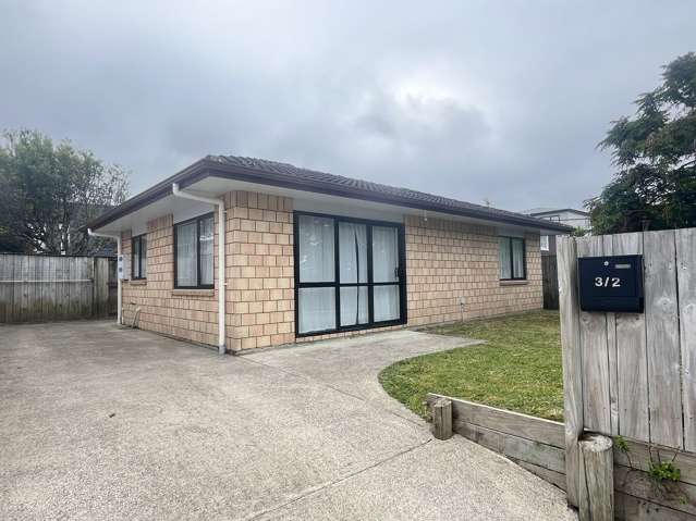
Bus stop is at the end of the street & easy access to motorways & a walkway at the other end of street . Based at tamaki Bay Drive, Pakuranga
The fully-fenced private yard provides a safe space for outdoor activities, and Outdoor furniture
The rental of $600 per week plus water usage reflects not only the quality of the home but also the lifestyle that comes with living in such a sought-after Auckland suburb. With everything you need for a comfortable and convenient lifestyle,
Furnishings
Kitchen
Full oven
Large stainless air-fryer includes -rotisserie, air-fry, bake & grill options
Fridge Freezer with icemaker
Toaster
Electric Kettle
Soda Stream
Yogurt Maker
Wash house
Washing machine
Clothes Dryer
Laundry tub
Lounge & Dining
Two x 2.5 seater couches
Coffee side table
Television and cabinet
Dining table & 4 chairs
Heat pump /Air-conditioner
Bedrooms 1 includes
Two x bedside tables
1 Queen bed with storage underneath
1 x large wardrobe
Bedroom 2 includes
1x single bef
1x Large wardrobe
The photo shows a different bed, which has been upgraded to a king single matching mattress and base bed
Cleaning items includes:
Vacuum cleaner
Broom
1/2 brush & shovel
New toilet brush
Yard includes
Outdoor table with Six chairs
Features: Unlimited internet included in rent. , Very private setting, Heating, Garden, Fully-fenced, Deck, Courtyard, Balcony, Air conditioning, Healthy Homes compliant, Furnished
TENANTS: To apply or schedule a viewing please click the email button to contact the landlord directly.
LANDLORDS: myRent.co.nz provides a cheaper solution to get your property in front of more potential tenants. We also offer property management for just $19/month.