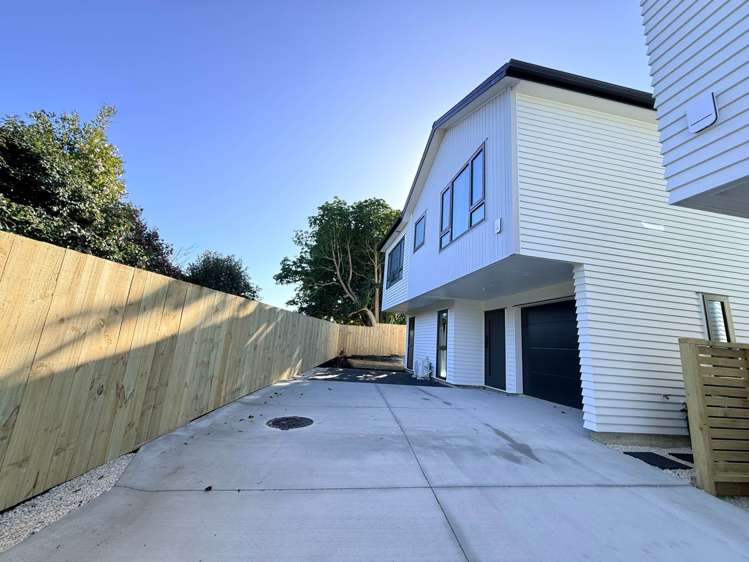
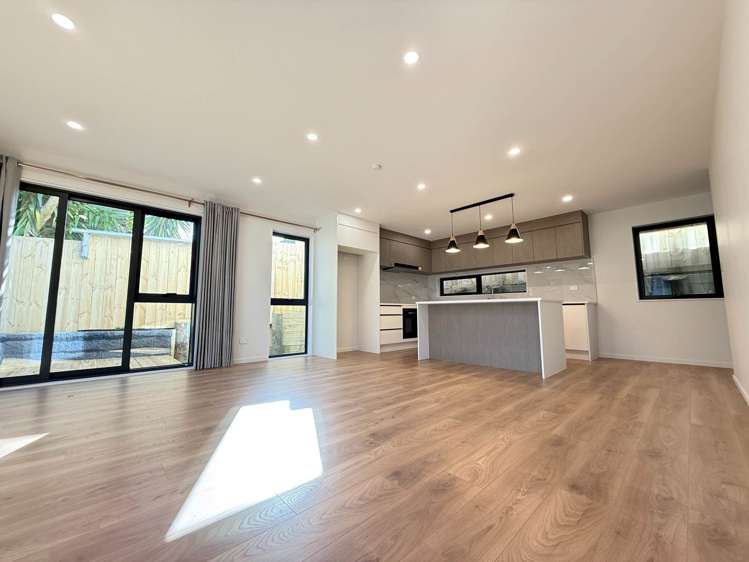
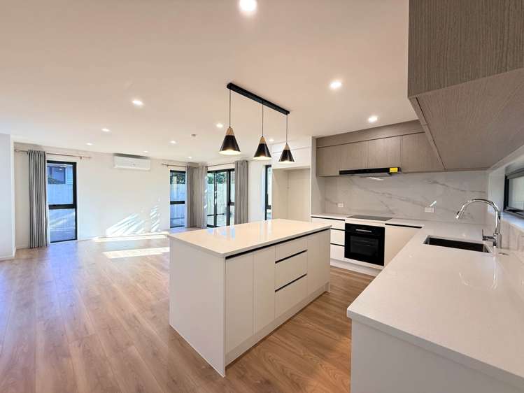
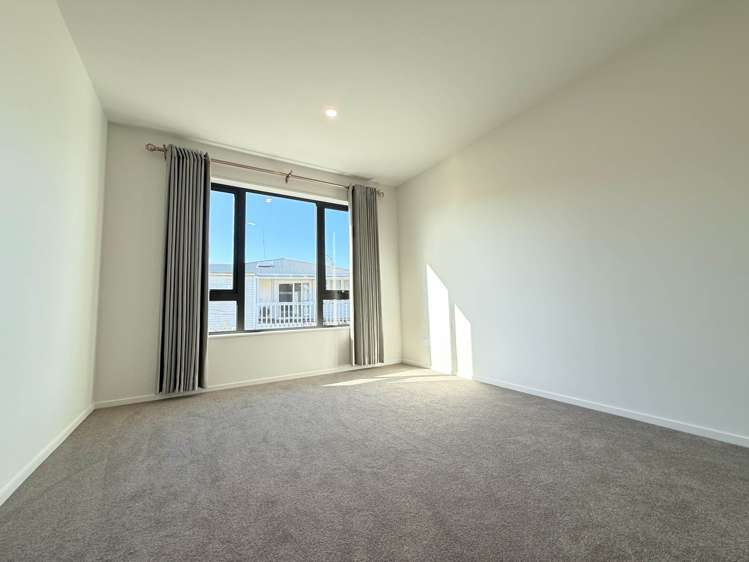
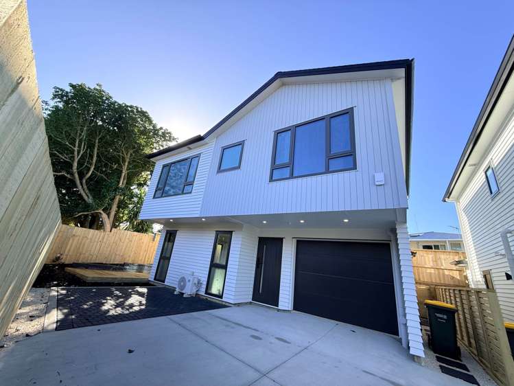
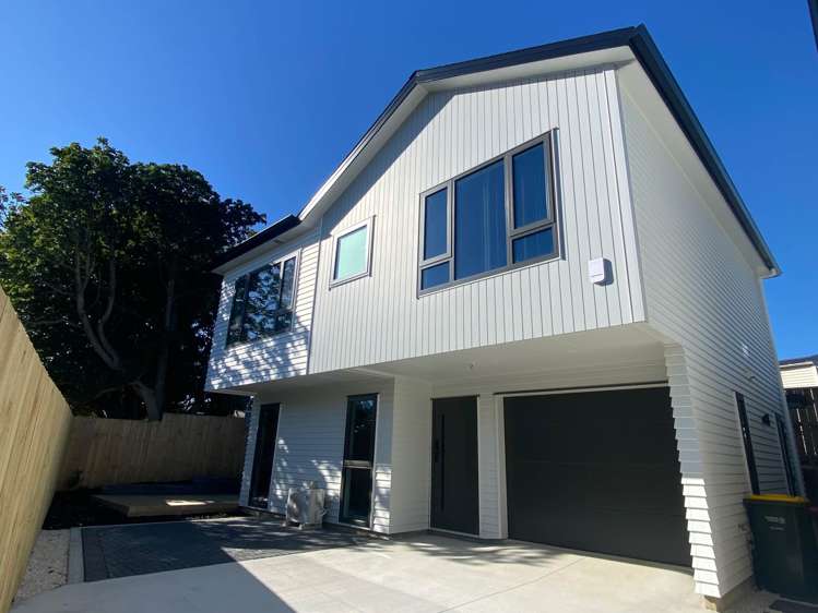
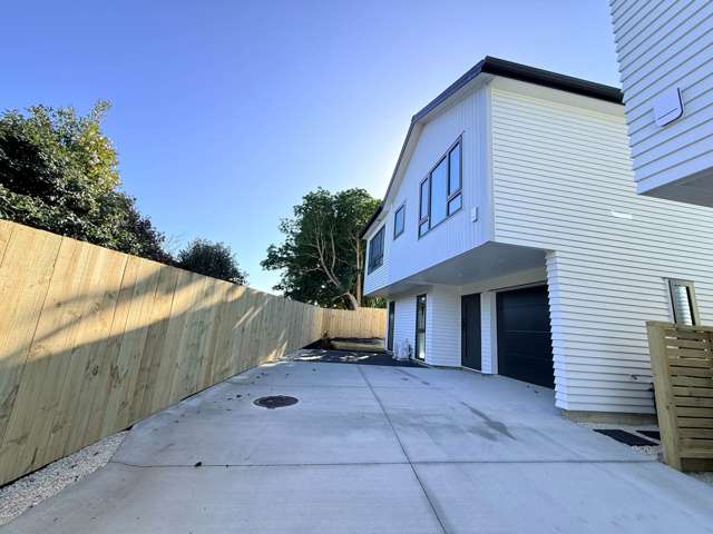
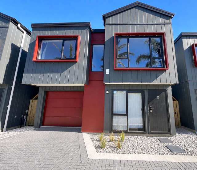
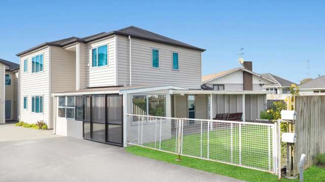
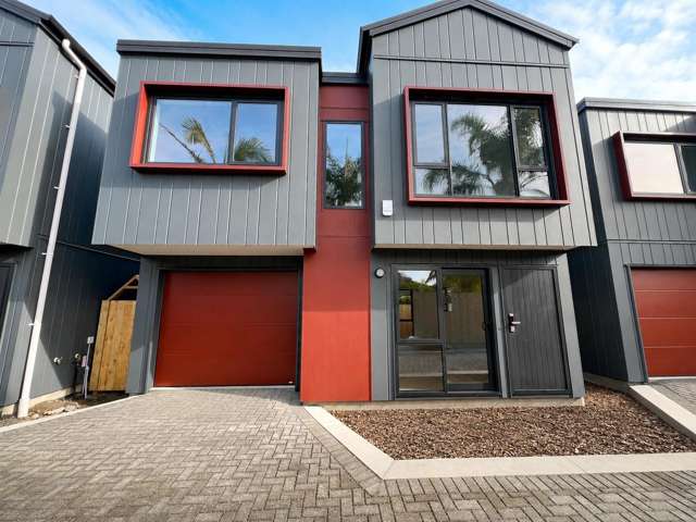
Be the very first to live in this beautifully designed, standalone 4-bedroom townhouse. Tucked away in a quiet cul-de-sac, this modern home offers the perfect blend of privacy, style, and low-maintenance luxury. Perfectly suited for families, professionals, or anyone who loves contemporary living.
Key Features You’ll Love:
Brand New Build: Everything is pristine, untouched, and built to the latest modern standards.
Standalone Privacy: No shared walls! Enjoy the peace and independence of a fully detached home.
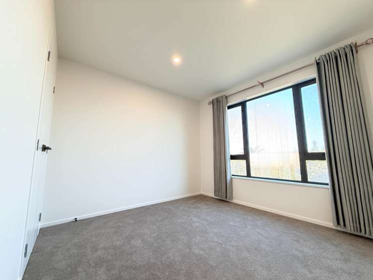
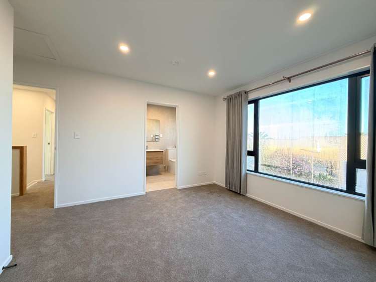
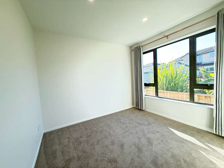
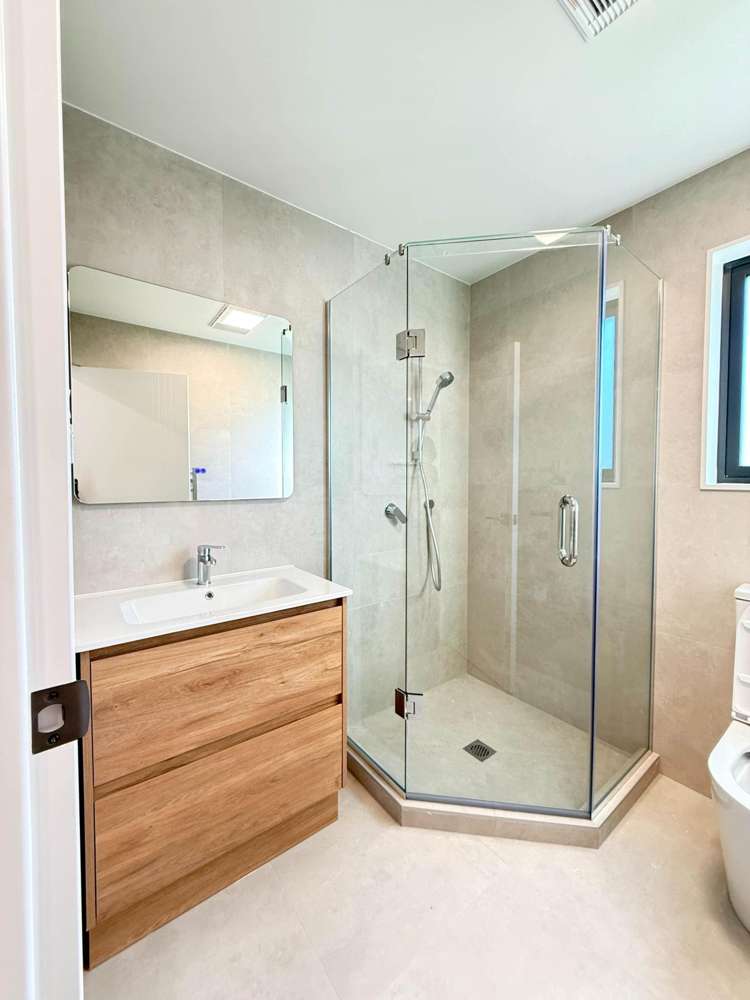
Spacious Living: 4 generous bedrooms with ample wardrobe space (including a master with an ensuite).
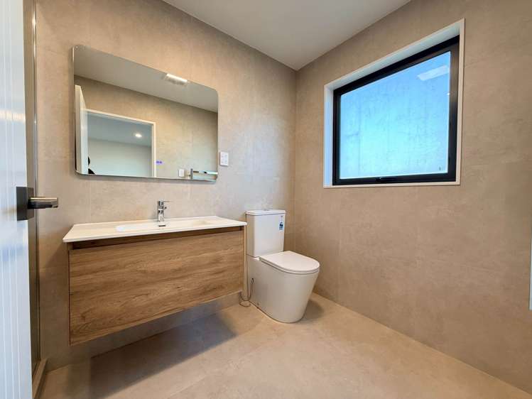
Modern Bathrooms: sleek, beautifully tiled bathrooms featuring premium fixtures.
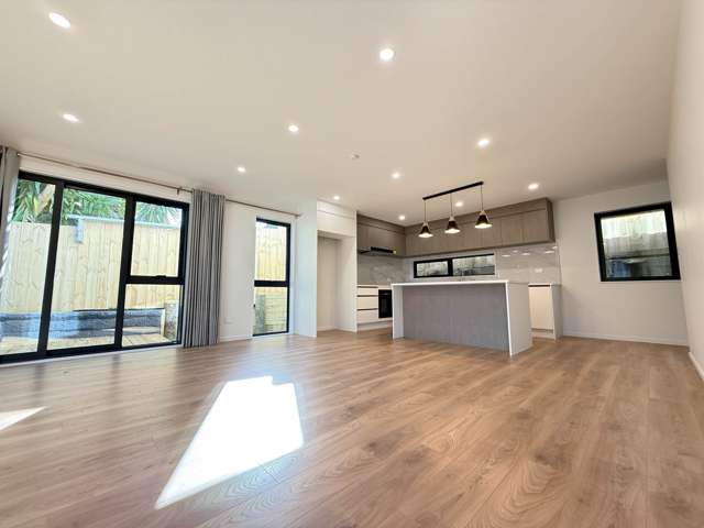
Chef’s Kitchen: Open-plan kitchen equipped with brand new, high-end appliances, plenty of storage, and quality countertops.
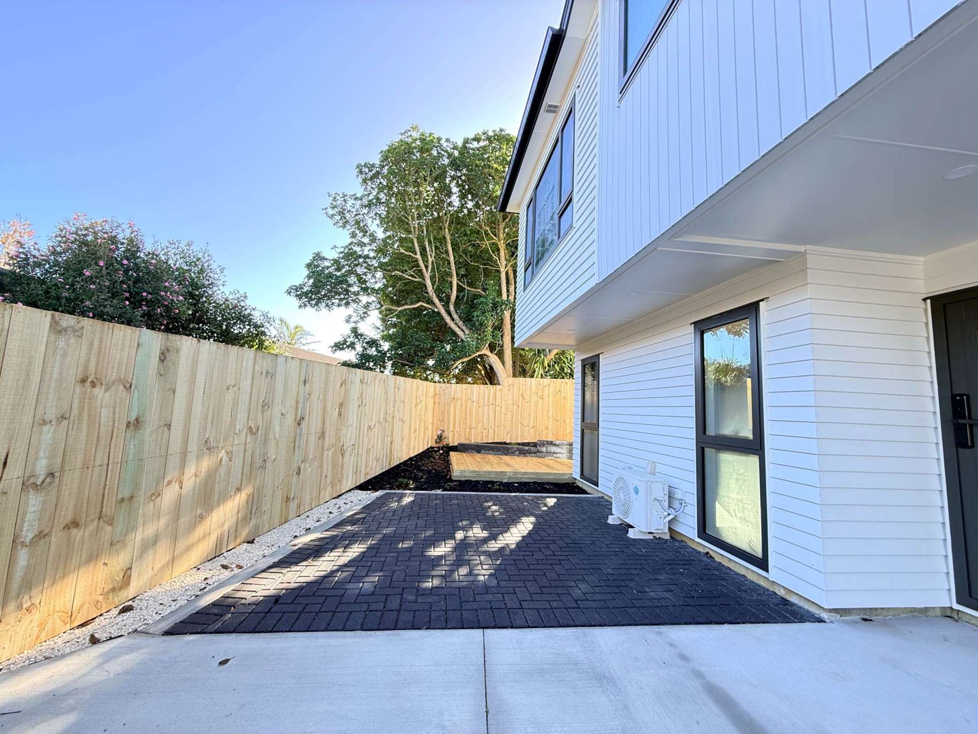
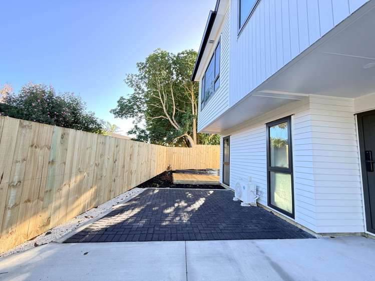
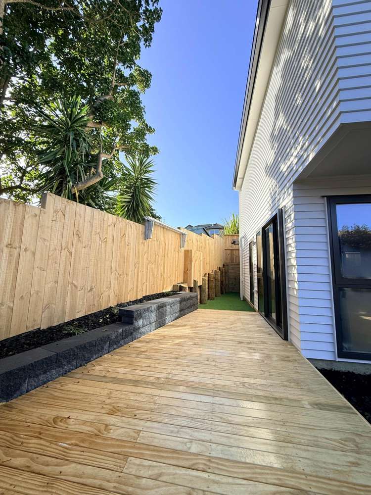
Sun-Drenched Living: Bright and airy open-plan living and dining area that flows seamlessly to an outdoor patio—perfect for summer BBQs.
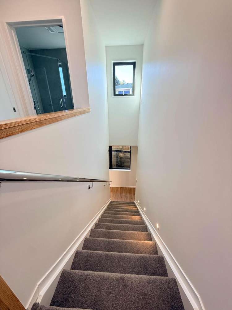
Comfort & Efficiency: Fully insulated, double-glazed windows, and air conditioning to keep you comfortable year-round.
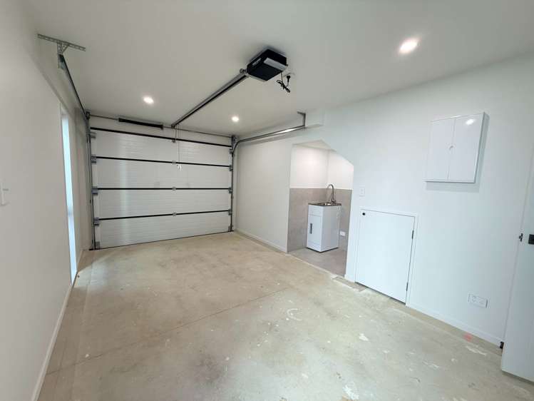
Parking: Single internal access garage plus one off-street park.
The Location:
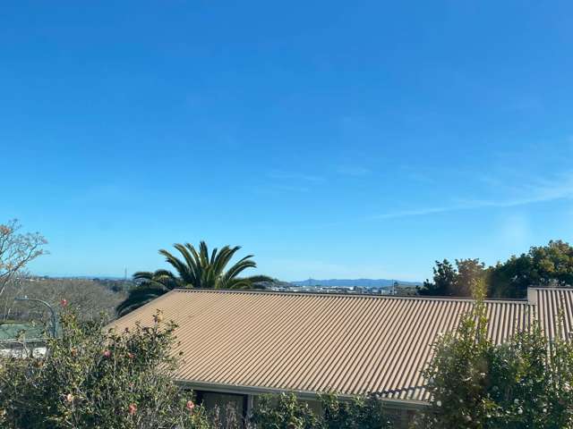
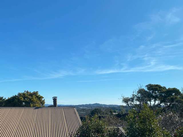
Situated in a highly convenient pocket, you are just minutes away from local schools, shopping centers, public transport, and easy motorway access.
Tenancy Details:
Ideal Tenants: Reliable, clean, and long-term minded tenants.
No smokers.
Move-in Costs: 4 weeks bond + 2 weeks rent in advance.
See this listing on Barfoot & Thompson