*To book a viewing follow the link below*.
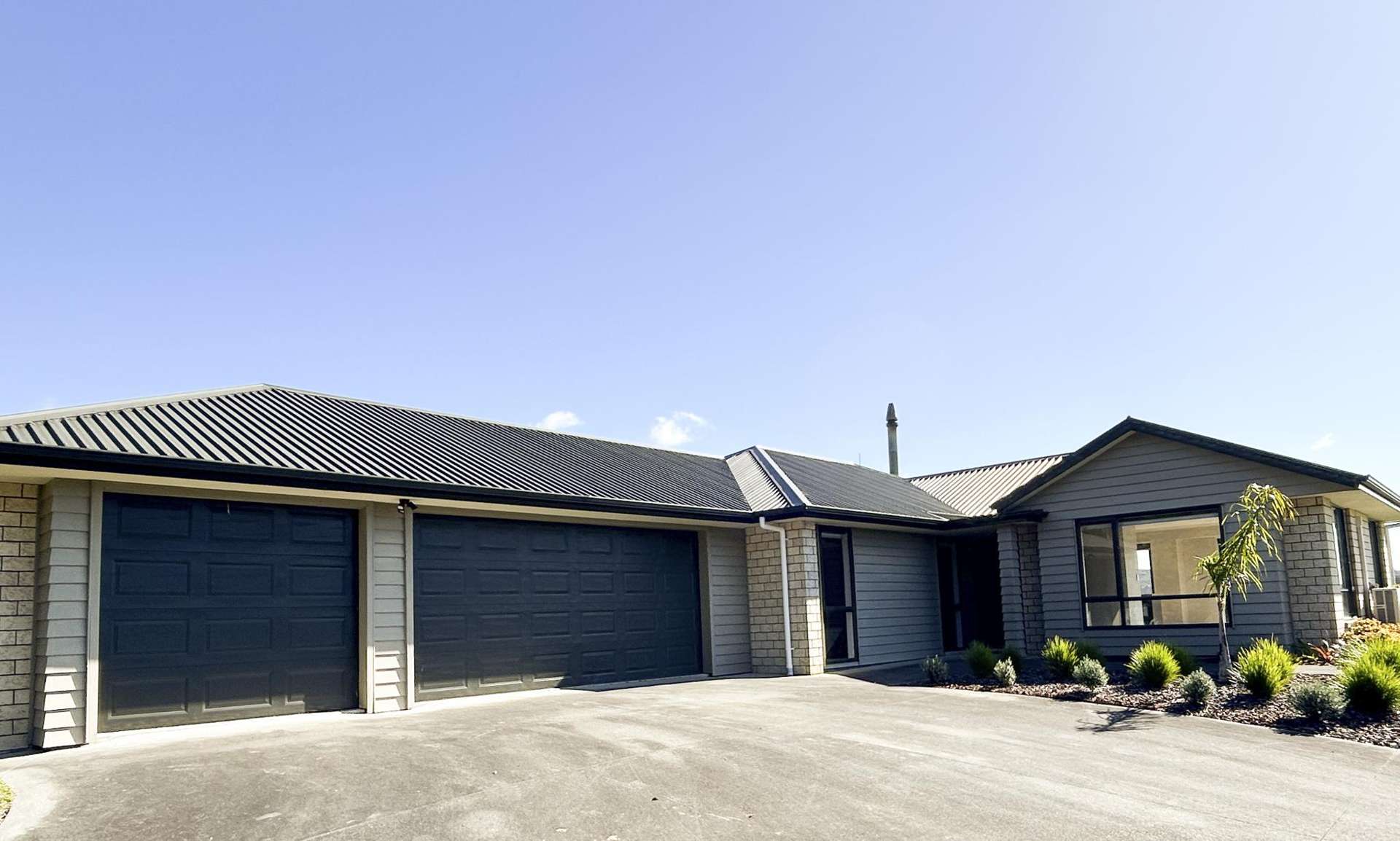
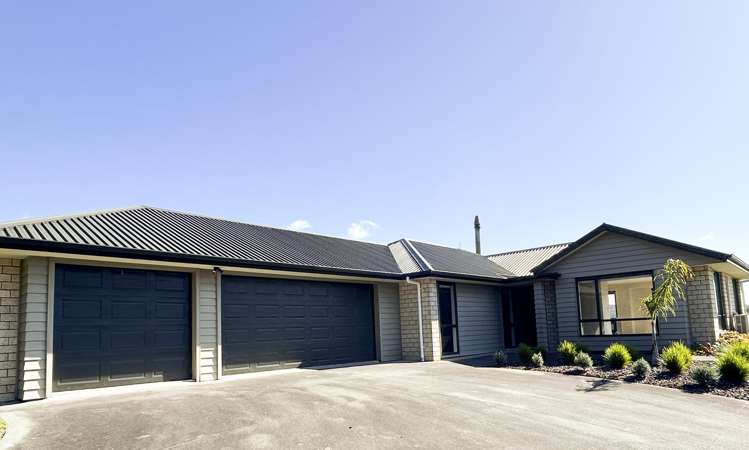
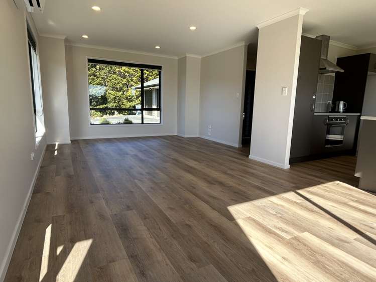
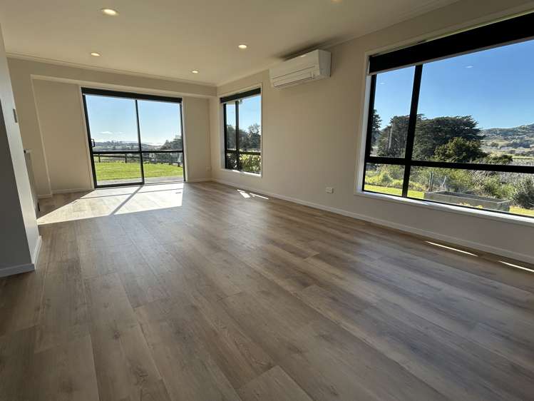
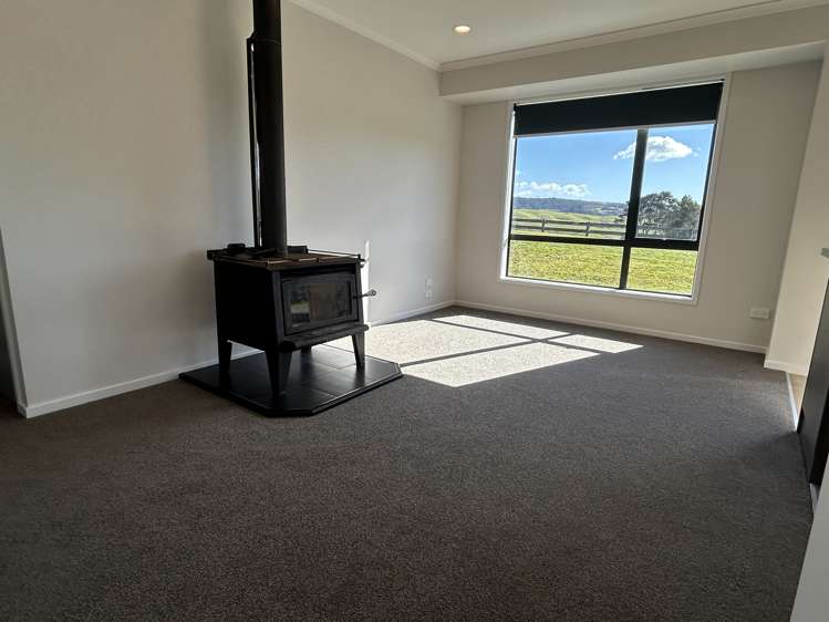
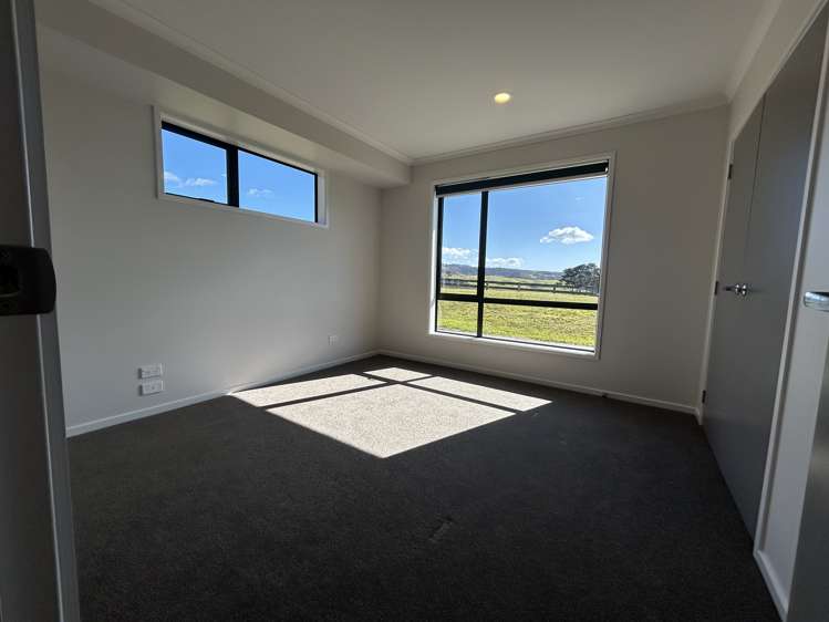
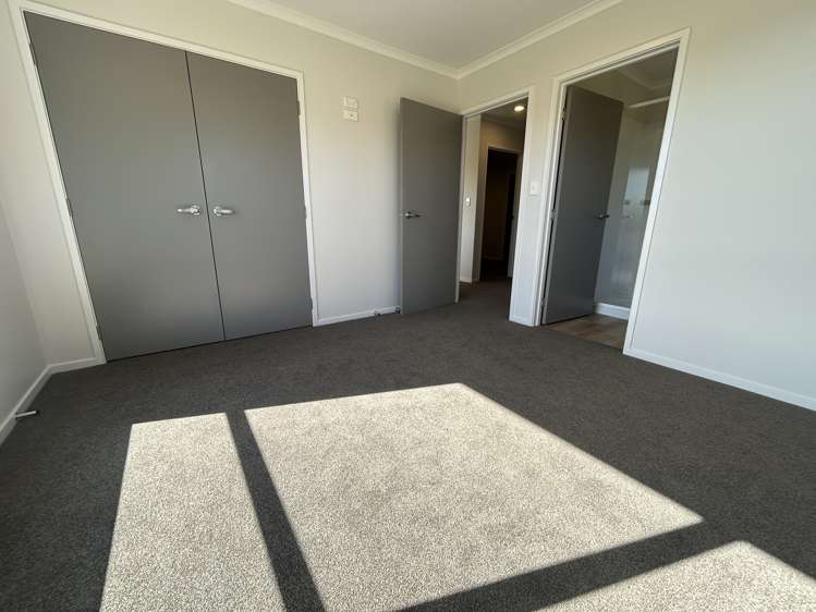
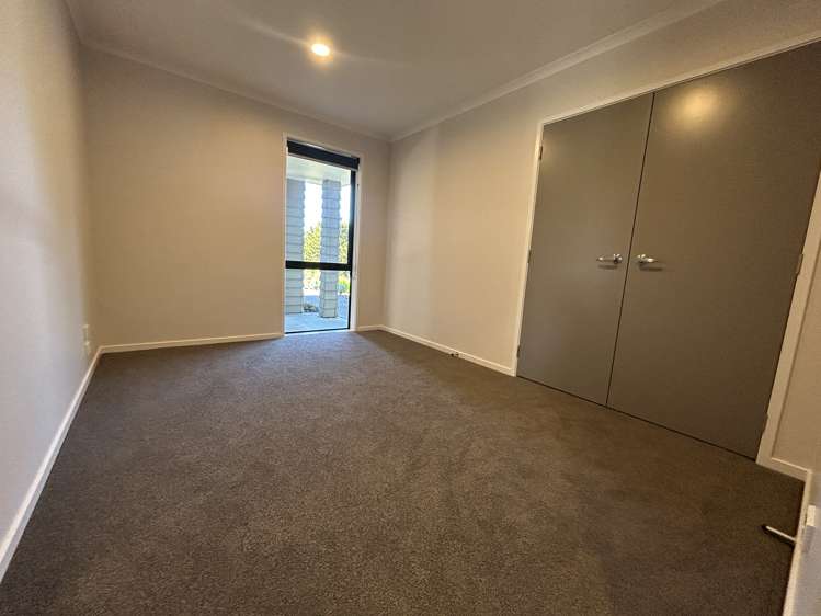
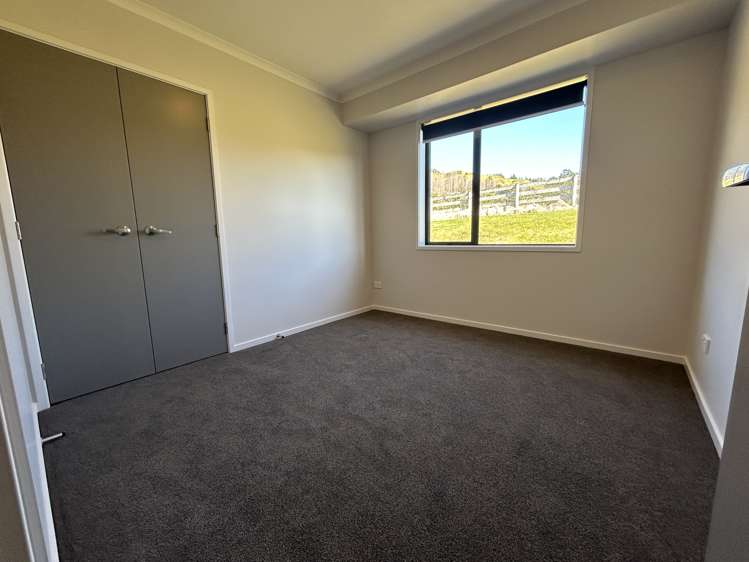
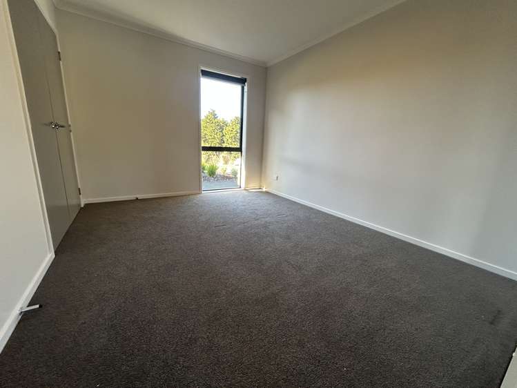
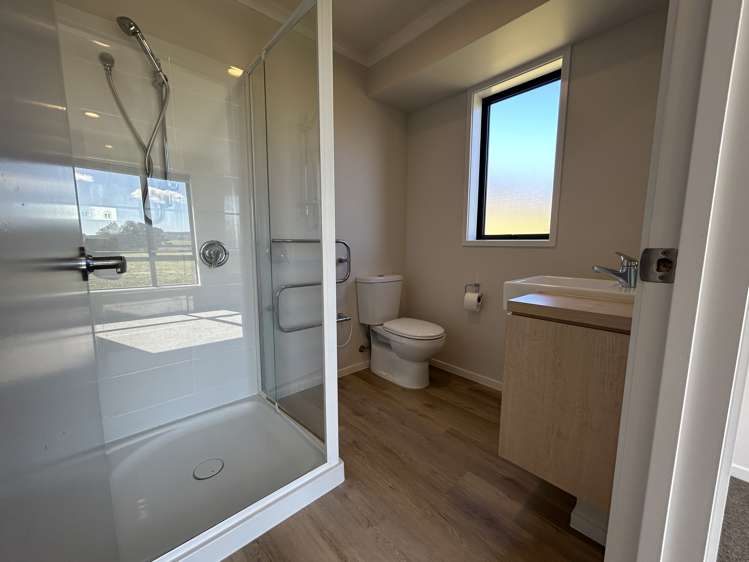
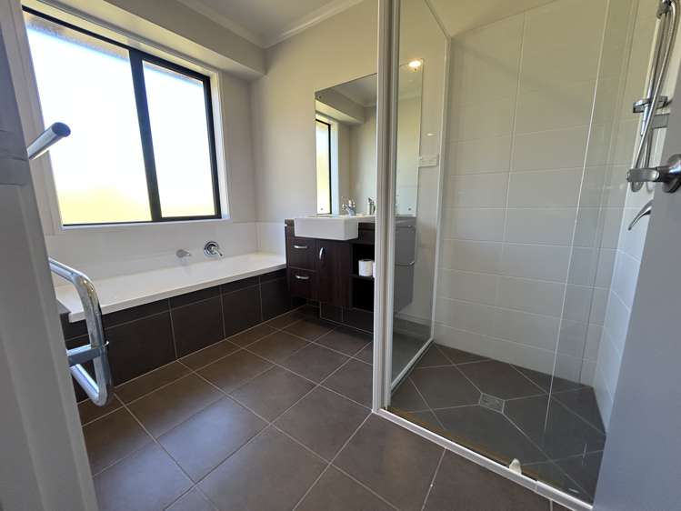
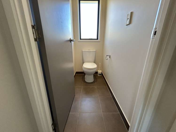
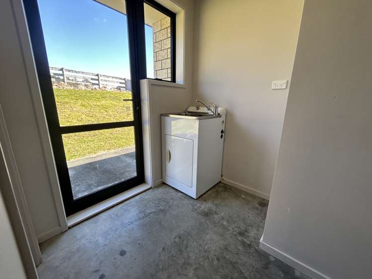
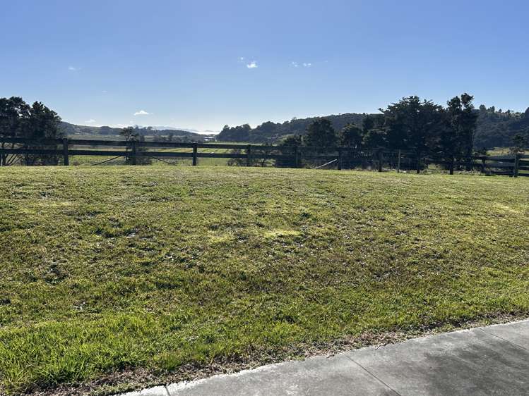
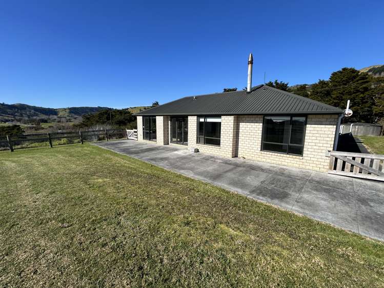
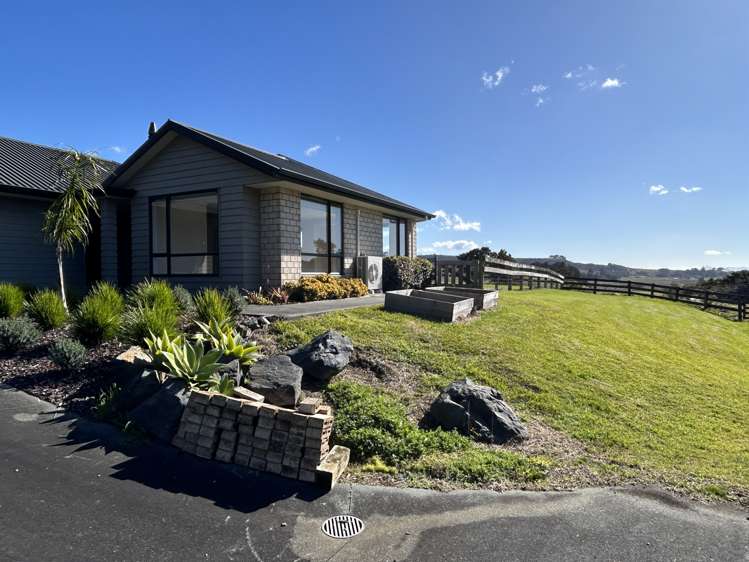
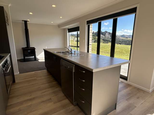
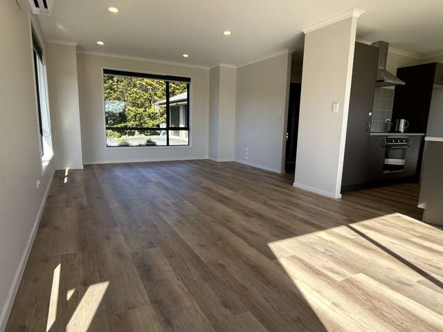
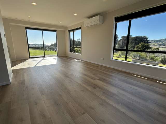
This well-presented four-bedroom, two-bathroom home offers the perfect balance of space, comfort, and peaceful rural living, with a glimpse of the water.
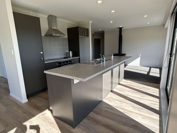
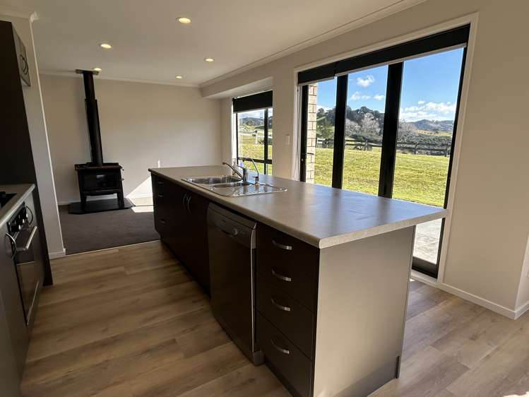
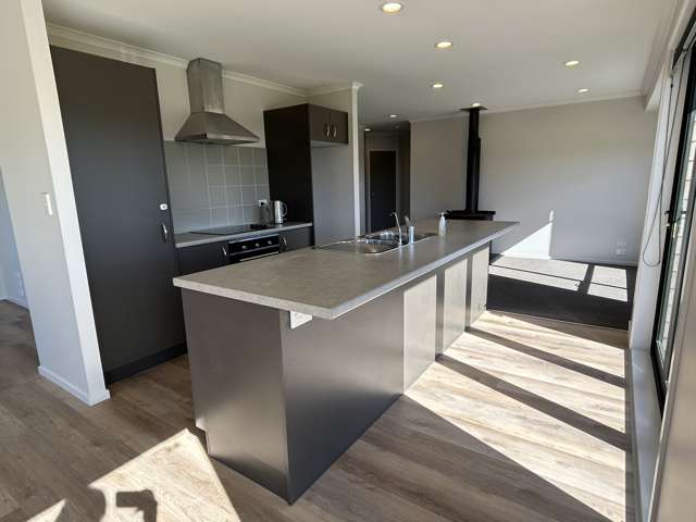
Featuring generous open-plan living areas, this home provides plenty of room for the whole family to relax and entertain. The back deck is the perfect spot to enjoy your morning coffee while taking in the picturesque countryside.
The property also boasts triple-car garaging, offering ample space for vehicles, storage, or a workshop.
If you're looking for a home that combines modern comfort with a tranquil lifestyle, this property is one not to be missed.
Available now
Rent will be $760.00 per week
**Please respect our current occupant's privacy and do not enter the property or site. This also applies if the property is empty unless you have had permission from the property manager to do so.**
***Pet bond will be required on any application with a pet - to be determined upon acceptance***
Initial Payment
Two weeks rent = $1,520
Bond = $3,040.00
TOTAL = $4,560
**BOOK A VIEWING HERE**
https://bookme.tpsportal.co.nz/tps1797
Attention Tenants: Beware of Rental Scams
We want to bring to your attention the growing number of rental scams that are targeting tenants through fake rental listings on social media platforms.
To help ensure you stay safe, please note that all communication regarding tenancy applications, offers, and requests for tenancy agreements will only come from a verified email address associated with @raywhite.com.
If anyone tries to engage through different means, or through social media platforms, it may be a scam.
We advise tenants to verify the authenticity of rental listings and to be cautious of communications or emails that are not connected to @raywhite.com. If you have any doubts or concerns about a listing, please call the Ray White property manager directly.