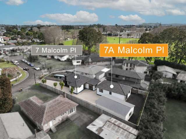
This brand-new, standalone home offers a blend of style, luxury and functionality not seen in other new builds.
The ground floor boasts a light-filled open-plan living area, while a second living space upstairs provides a secondary zone for the kids or home office. The kitchen is fitted with a gas hob and premium Bosch appliances for a sleek finish. For year-round comfort, the home is equipped with a heat pump and a full ventilation system.
Property Features:
- 3 very spacious bedrooms
- 2.5 bathrooms (2 upstairs & a guest toilet downstairs)
- 2 lounge rooms (one on each level)
- Open plan living flowing into private backyard
- Heat pump and ventilation system
- Internal access garage plus off street carpark
- Security alarm & video intercom
Ideally located for commuters with easy motorway access and close proximity to public transport hubs and schools. Local shops are just a short stroll away. This beautiful home won’t last long so arrange your viewing today!
Move in costs:
One week's rent in advance - $740.00
Four weeks rent as bond - $2960.00
TOTAL - $3,700.00
DO NOT GO ONTO THE PROPERTY AT ANY TIME WITHOUT AN AGENT.
VIEWINGS: You must register to view this property, so please go to the listing on our website and click "book a viewing". This way we can keep you up to date on the property and send you viewing times. If there is not a suitable viewing time please still register and we will notify you of the next viewing times.
BEWARE OF SCAMS! Barfoot & Thompson do not ask for money upfront until you have seen the property inside and out by a staff member who will be wearing ID and travel in a sign-written vehicle. They will then provide a full tenancy agreement to be signed prior to money collection. If unsure, please pop into our branch and see us in person.
LANDLORDS: Barfoot and Thompson offers full property management services throughout all of Auckland. Please give me a call to discuss your requirements on 027 839 9603 or email [email protected]
See this listing on Barfoot & Thompson