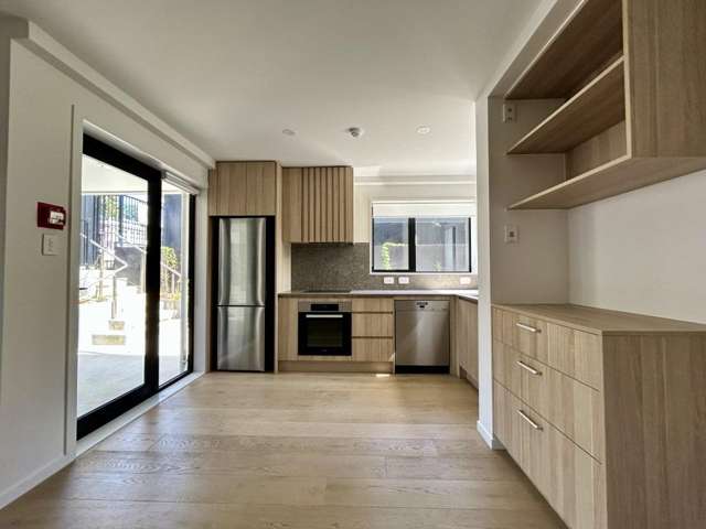
**Modern Living at Its Best: 2-Bedroom Corner Apartment in Mangere Bridge**
**To book a VIEWING or submit an ENQUIRY please follow the Bookme link - https://bookme.tenant.co.nz/tps1485**
Carpark included!
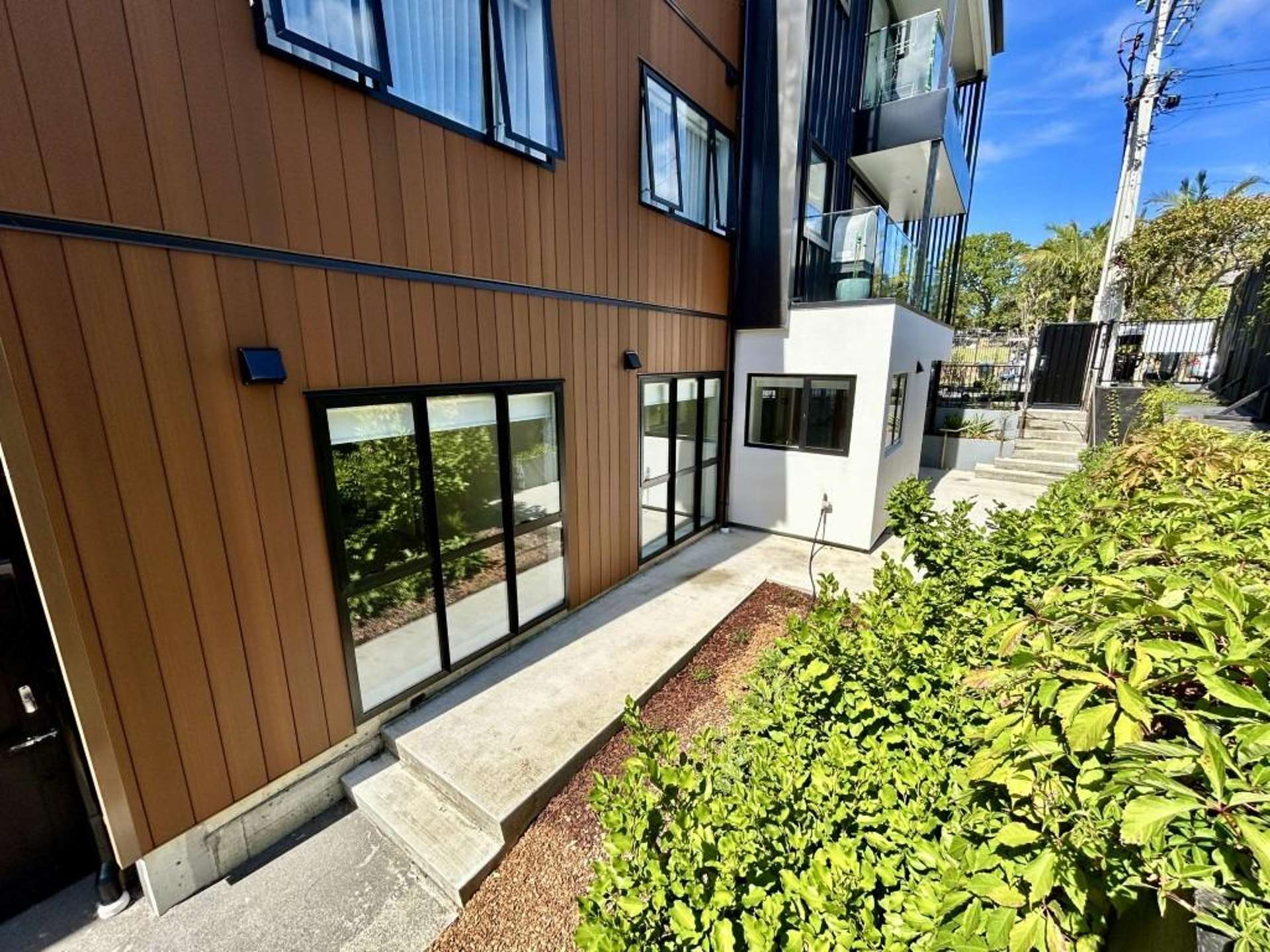
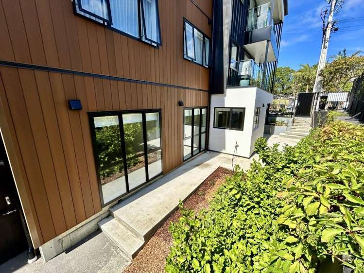
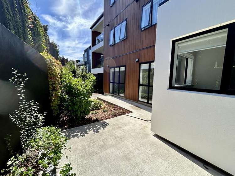
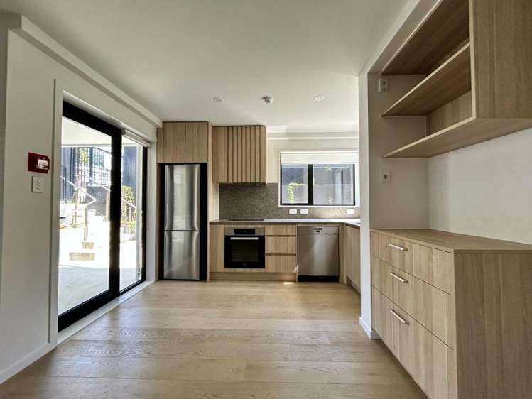
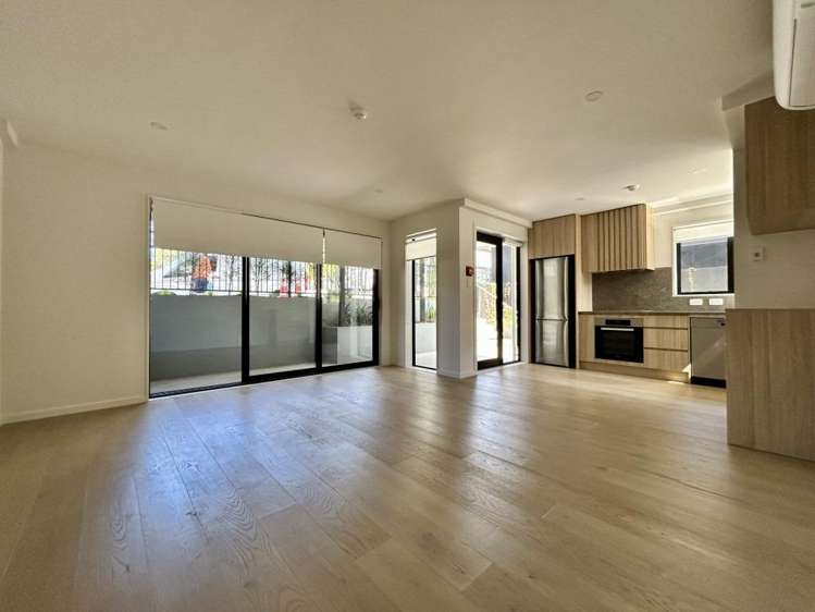
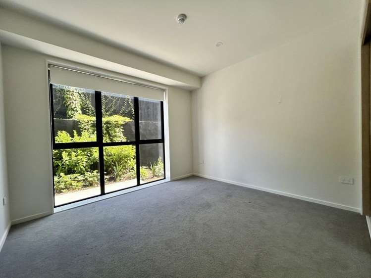
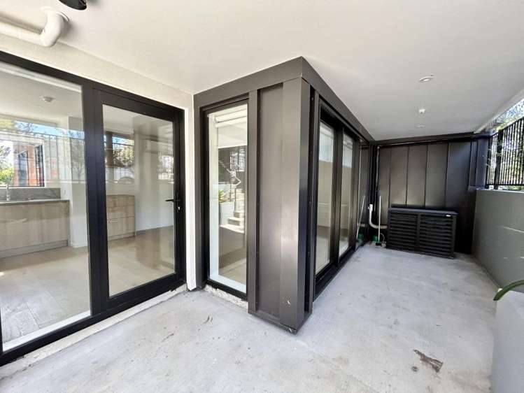
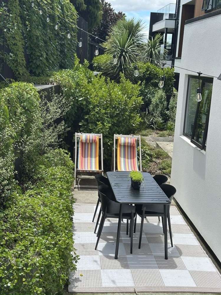
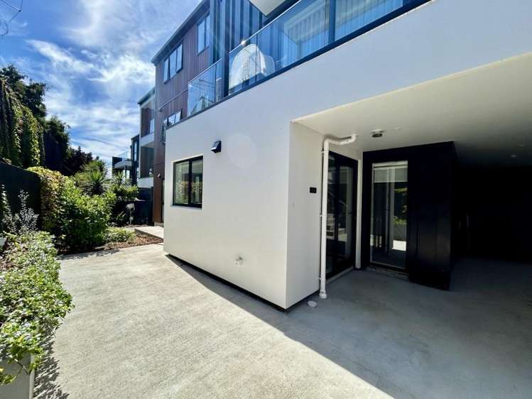
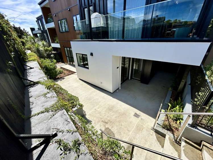
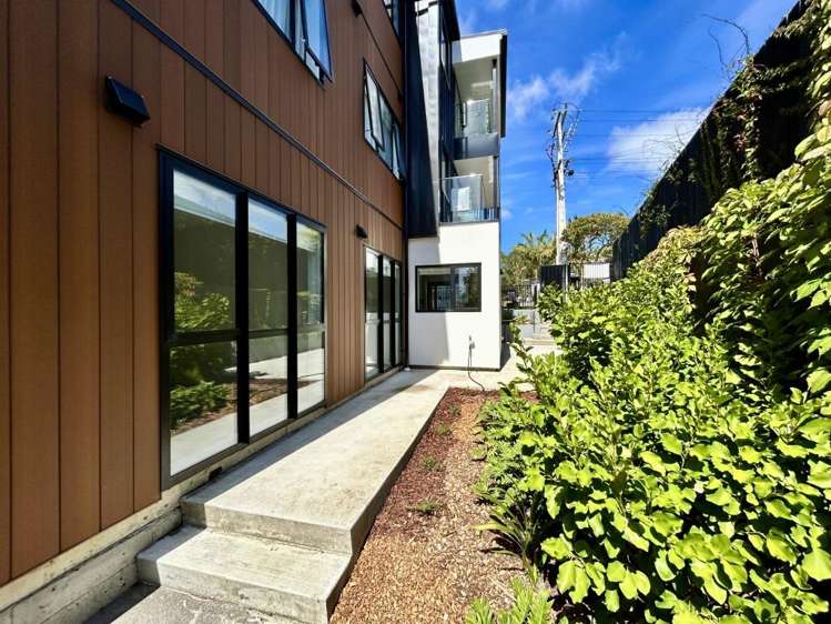
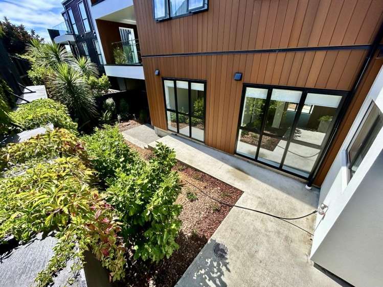
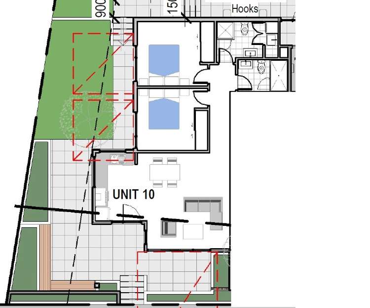
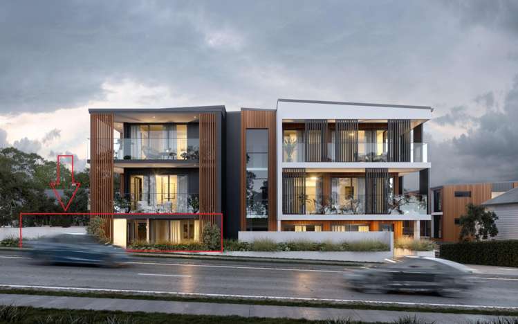
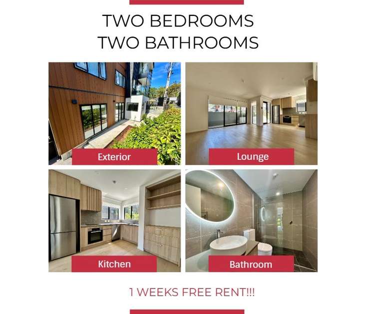
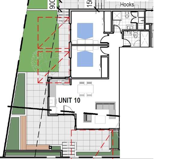
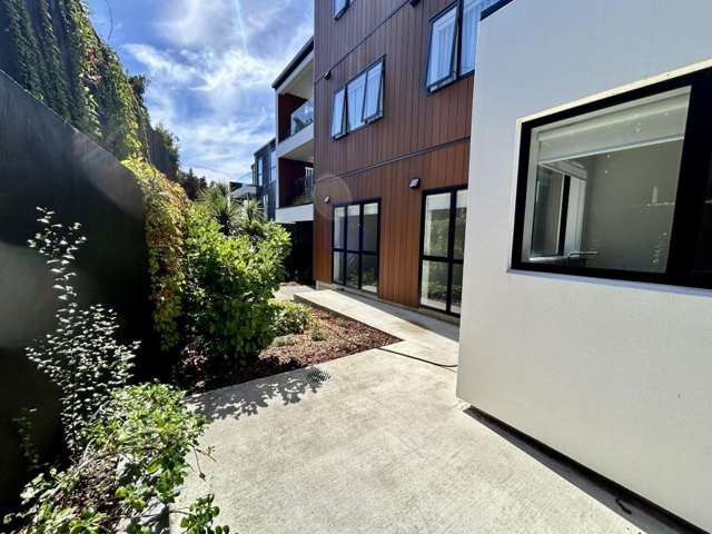
Welcome to Apartment 10 at 64 Coronation Road—a premium, downstairs corner apartment offering the perfect blend of contemporary style, convenience, and privacy. Spanning a generous 95m², this home features its own separate entrance and wraps around a beautifully spacious patio and garden area.
Designed with energy efficiency and modern comfort in mind, this apartment boasts double glazing, full insulation, LED lighting, and a heat pump to keep you comfortable year-round.
**Key Features:**
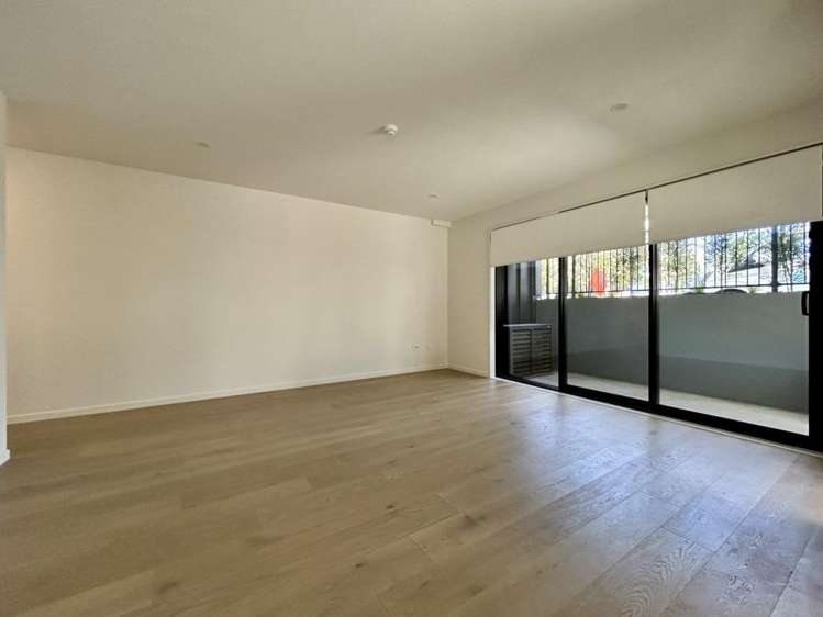
-**Bright & Airy Living:** Open-plan living and dining areas that flow seamlessly out to your large, private covered patio and garden space.
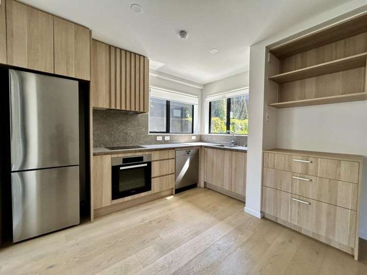
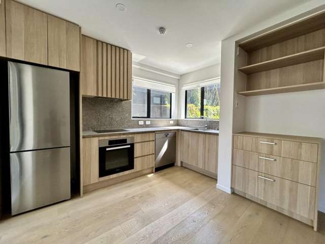
-**Chef’s Kitchen:** Corner-style kitchen fully equipped with premium Miele appliances, including a refrigerator.
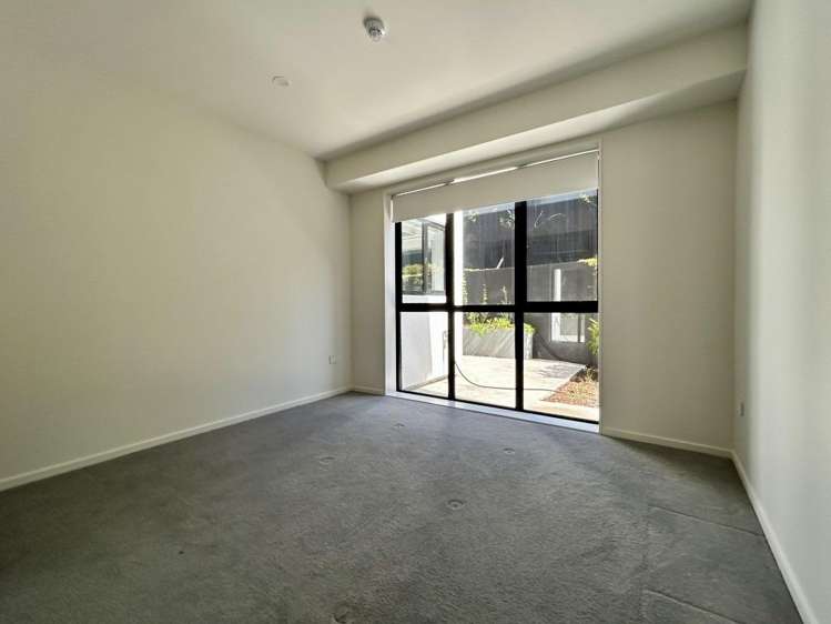
-**Comfortable Bedrooms:** Two spacious bedrooms, both fitted with built-in wardrobe systems.
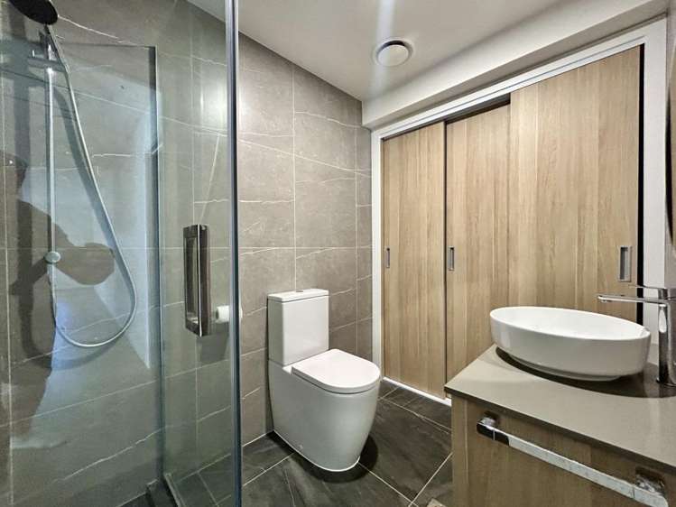
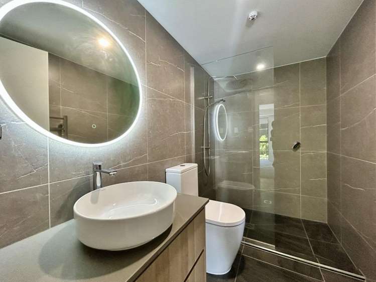
-**Luxury Bathrooms:** Two beautifully tiled, modern bathrooms.
-**High-Tech & Secure:** Keyless digital entry, a video intercom system, and one secure, allocated undercover carpark.
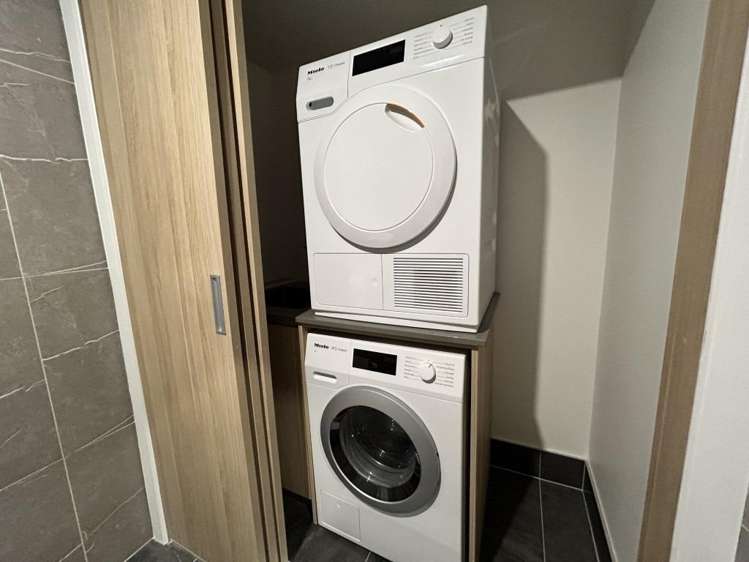
-**Convenient Laundry:** Dedicated laundry area equipped with quality Miele appliances.
**The Location:**
Perfectly positioned in the heart of Mangere Bridge. Enjoy being within walking distance to local cafes, eateries, and recreational facilities. Commuting is a breeze with easy access to motorway links, public transport, Auckland Airport, and the scenic Ambury Regional Park.
**Tenancy Details:**
**Available:** From 1st August
**Term:** Long term (12-month fixed term, rolling to periodic)